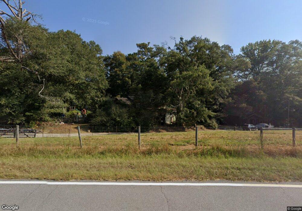
1246 Brock Rd Carrollton, GA 30117
Estimated Value: $359,000 - $398,000
5
Beds
4
Baths
2,735
Sq Ft
$137/Sq Ft
Est. Value
About This Home
This home is located at 1246 Brock Rd, Carrollton, GA 30117 and is currently estimated at $375,162, approximately $137 per square foot. 1246 Brock Rd is a home located in Carroll County with nearby schools including Bowdon Elementary School, Bowdon Middle School, and Bowdon High School.
Ownership History
Date
Name
Owned For
Owner Type
Purchase Details
Closed on
Jul 18, 2008
Sold by
Not Provided
Bought by
Fulbright Maxom H
Current Estimated Value
Home Financials for this Owner
Home Financials are based on the most recent Mortgage that was taken out on this home.
Original Mortgage
$126,000
Interest Rate
6.45%
Mortgage Type
New Conventional
Purchase Details
Closed on
Nov 17, 2003
Sold by
Garner J Wayne
Bought by
Fulbright Maxom H
Purchase Details
Closed on
May 14, 2001
Sold by
Johnson Rheta G
Bought by
Garner J Wayne
Purchase Details
Closed on
Oct 3, 1994
Sold by
Horton Rudolph
Bought by
Johnson Rheta G
Purchase Details
Closed on
Jun 14, 1969
Bought by
Horton Rudolph
Create a Home Valuation Report for This Property
The Home Valuation Report is an in-depth analysis detailing your home's value as well as a comparison with similar homes in the area
Home Values in the Area
Average Home Value in this Area
Purchase History
| Date | Buyer | Sale Price | Title Company |
|---|---|---|---|
| Fulbright Maxom H | -- | -- | |
| Fulbright Maxom H | $180,000 | -- | |
| Garner J Wayne | $139,900 | -- | |
| Johnson Rheta G | $78,400 | -- | |
| Horton Rudolph | -- | -- |
Source: Public Records
Mortgage History
| Date | Status | Borrower | Loan Amount |
|---|---|---|---|
| Closed | Fulbright Maxom H | $126,000 |
Source: Public Records
Tax History Compared to Growth
Tax History
| Year | Tax Paid | Tax Assessment Tax Assessment Total Assessment is a certain percentage of the fair market value that is determined by local assessors to be the total taxable value of land and additions on the property. | Land | Improvement |
|---|---|---|---|---|
| 2024 | $2,073 | $108,167 | $4,441 | $103,726 |
| 2023 | $2,073 | $98,162 | $3,553 | $94,609 |
| 2022 | $1,756 | $78,551 | $2,369 | $76,182 |
| 2021 | $1,604 | $67,840 | $1,895 | $65,945 |
| 2020 | $1,447 | $60,359 | $1,723 | $58,636 |
| 2019 | $1,347 | $56,059 | $1,723 | $54,336 |
| 2018 | $1,227 | $50,726 | $1,610 | $49,116 |
| 2017 | $1,231 | $50,726 | $1,610 | $49,116 |
| 2016 | $1,231 | $50,726 | $1,610 | $49,116 |
| 2015 | $1,666 | $63,555 | $13,634 | $49,922 |
| 2014 | $1,673 | $63,556 | $13,634 | $49,922 |
Source: Public Records
Map
Nearby Homes
- 450 Baxter Rd
- 1575 Bethesda Church Rd
- 1593 Bethesda Church Rd
- 1611 Bethesda Church Rd
- 1629 Bethesda Church Rd
- 1810 Victory Church Rd
- 0 Needmore Rd Unit (345 37 Acres)
- 4144 Tyus Carrollton Rd
- 1531 Tyus Carrollton Rd
- 4228 Tyus Carrollton Rd
- 1698 Georgia 5
- 2701 Victory Church Rd
- 1358 W 5 Hwy
- 195 Gold Dust Trail
- 0 Needmore Road- (345 37 Acres)
- TRACT 2 Attaway Rd Unit TRACT 4.59 ACRES
- Tract 1 Attaway Road Tract 4 15 Acres Unit 185
- TRACT 1 Attaway Rd Unit 4.15 ACRES
- 0 Needmore Rd Unit (345.37 ACRES)
- 305 West Dr
- 1224 Brock Rd
- 1130 Harman Rd
- 610 Baxter Rd
- 1237 Brock Rd
- 2660 Tyus Carrollton Rd
- 2695 Tyus Carrollton Rd
- 2640 Tyus Carrollton Rd
- 2620 Tyus Carrollton Rd
- 1045 Brock Rd
- 3053 Tyus Carrollton Rd
- 487 Baxter Rd
- 2550 Tyus Carrollton Rd
- 1265 Brock Rd
- 2545 Tyus Carrollton Rd
- 484 Baxter Rd
- 2540 Tyus Carrollton Rd
- 2522 Tyus Carrollton Rd
- 472 Baxter Rd
- 472 Baxter Rd
- 397 Crook Rd