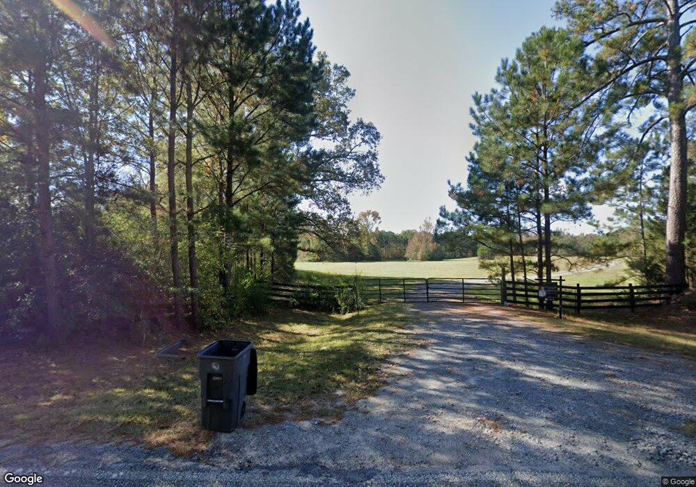
1246 Cedar Rock Rd Greenville, GA 30222
Estimated Value: $454,000 - $1,182,000
4
Beds
3
Baths
2,693
Sq Ft
$302/Sq Ft
Est. Value
About This Home
This home is located at 1246 Cedar Rock Rd, Greenville, GA 30222 and is currently estimated at $814,461, approximately $302 per square foot. 1246 Cedar Rock Rd is a home located in Meriwether County with nearby schools including George E. Washington Elementary School.
Ownership History
Date
Name
Owned For
Owner Type
Purchase Details
Closed on
Jun 6, 2006
Sold by
Branch James Alexander
Bought by
Duncan Marlin Ralph
Current Estimated Value
Purchase Details
Closed on
Jan 19, 2001
Sold by
Branch James Alexand
Bought by
Lentz Cyndi Cervante
Purchase Details
Closed on
Dec 18, 2000
Sold by
Mason Manuel W & Bar
Bought by
Branch James Alexand
Purchase Details
Closed on
Aug 1, 1992
Sold by
James R Harding Jr L
Bought by
Mason Manuel W & Bar
Purchase Details
Closed on
Jan 1, 1980
Bought by
James R Harding Jr L
Create a Home Valuation Report for This Property
The Home Valuation Report is an in-depth analysis detailing your home's value as well as a comparison with similar homes in the area
Home Values in the Area
Average Home Value in this Area
Purchase History
| Date | Buyer | Sale Price | Title Company |
|---|---|---|---|
| Duncan Marlin Ralph | $520,000 | -- | |
| Lentz Cyndi Cervante | -- | -- | |
| Branch James Alexand | $312,000 | -- | |
| Mason Manuel W & Bar | $140,000 | -- | |
| James R Harding Jr L | $36,300 | -- |
Source: Public Records
Tax History Compared to Growth
Tax History
| Year | Tax Paid | Tax Assessment Tax Assessment Total Assessment is a certain percentage of the fair market value that is determined by local assessors to be the total taxable value of land and additions on the property. | Land | Improvement |
|---|---|---|---|---|
| 2024 | $6,593 | $286,248 | $115,240 | $171,008 |
| 2023 | $3,780 | $197,968 | $115,240 | $82,728 |
| 2022 | $4,032 | $205,968 | $115,240 | $90,728 |
| 2021 | $5,268 | $150,264 | $92,200 | $58,064 |
| 2020 | $2,840 | $150,264 | $92,200 | $58,064 |
| 2019 | $2,826 | $150,264 | $92,200 | $58,064 |
| 2018 | $2,830 | $150,264 | $92,200 | $58,064 |
| 2017 | $2,364 | $137,104 | $92,200 | $44,904 |
| 2016 | $2,131 | $137,104 | $92,200 | $44,904 |
| 2015 | $2,115 | $137,104 | $92,200 | $44,904 |
| 2014 | $2,097 | $137,104 | $92,200 | $44,904 |
| 2013 | -- | $137,104 | $92,200 | $44,904 |
Source: Public Records
Map
Nearby Homes
- 2067 Threadgill Rd
- 2001 Threadgill Rd
- 909 Threadgill Rd
- 3860 Cedar Rock Rd
- 188 Hidden Lakes Rd
- 0 Owens Rd Unit 219685
- 1621 Dukes Waddell Rd
- 1152 Old Durand Rd
- 7333 White House Pkwy
- 7333 Roosevelt Hwy
- 0 Winter Rd Unit 10499103
- 353 Parham Rd
- 0 Whitehouse Pkwy Unit 10593573
- 243 Pine Knoll Dr
- 501 Raleigh Rd
- 0 Durand Hwy Unit 10622092
- 934 R D Hill St
- 330 Stovall Rd
- 0 Winter Rd Unit 10498954
- 568 S Talbotton St
- 2255 Harmony Church Rd Unit TR 3 PARCEL3
- 2255 Harmony Church Rd
- 2510 Harmony Church Rd
- 2415 Harmony Church Rd
- 1193 Cedar Rock Rd
- 2599 Harmony Church Rd
- 2101 Threadgill Rd
- 2670 Harmony Church Rd
- 2720 Harmony Church Rd
- 1339 Cedar Rock Rd
- 56 Windy Ln
- 0 Harmony Church Rd Unit 4 & 5 7403608
- 0 Harmony Church Rd Unit 7182813
- 0 Harmony Church Rd Unit 8049130
- 2028 Threadgill Rd Unit 3.05 ACRES
- 2067 Threadgill Rd Unit 2.09 ACRES
- 1381 Cedar Rock Rd
- 835 Cedar Rock Rd
- 1933 Threadgill Rd
- 1993 Threadgill Rd