Estimated Value: $984,214 - $1,142,000
3
Beds
2
Baths
2,209
Sq Ft
$481/Sq Ft
Est. Value
About This Home
This home is located at 1246 Doris Cir, Erie, CO 80516 and is currently estimated at $1,063,554, approximately $481 per square foot. 1246 Doris Cir is a home located in Weld County with nearby schools including Erie Elementary School, Erie Middle School, and Erie High School.
Ownership History
Date
Name
Owned For
Owner Type
Purchase Details
Closed on
Mar 29, 2021
Sold by
Weis Paul S and Weis Christine L
Bought by
Bohanan Matthew L
Current Estimated Value
Home Financials for this Owner
Home Financials are based on the most recent Mortgage that was taken out on this home.
Original Mortgage
$548,250
Outstanding Balance
$493,398
Interest Rate
2.8%
Mortgage Type
New Conventional
Estimated Equity
$570,156
Purchase Details
Closed on
Jul 23, 1984
Create a Home Valuation Report for This Property
The Home Valuation Report is an in-depth analysis detailing your home's value as well as a comparison with similar homes in the area
Home Values in the Area
Average Home Value in this Area
Purchase History
| Date | Buyer | Sale Price | Title Company |
|---|---|---|---|
| Bohanan Matthew L | $826,750 | Homestead Title & Escrow | |
| -- | -- | -- | |
| Weis Paul S | $33,000 | -- |
Source: Public Records
Mortgage History
| Date | Status | Borrower | Loan Amount |
|---|---|---|---|
| Open | Bohanan Matthew L | $548,250 |
Source: Public Records
Tax History Compared to Growth
Tax History
| Year | Tax Paid | Tax Assessment Tax Assessment Total Assessment is a certain percentage of the fair market value that is determined by local assessors to be the total taxable value of land and additions on the property. | Land | Improvement |
|---|---|---|---|---|
| 2025 | $4,779 | $61,940 | $27,630 | $34,310 |
| 2024 | $4,779 | $61,940 | $27,630 | $34,310 |
| 2023 | $4,583 | $55,310 | $29,910 | $25,400 |
| 2022 | $4,960 | $52,850 | $24,330 | $28,520 |
| 2021 | $4,383 | $54,370 | $25,030 | $29,340 |
| 2020 | $3,609 | $46,390 | $23,650 | $22,740 |
| 2019 | $3,651 | $46,390 | $23,650 | $22,740 |
| 2018 | $3,090 | $40,820 | $15,660 | $25,160 |
| 2017 | $2,965 | $40,820 | $15,660 | $25,160 |
| 2016 | $2,225 | $33,030 | $17,310 | $15,720 |
| 2015 | $2,150 | $33,030 | $17,310 | $15,720 |
| 2014 | $1,644 | $27,190 | $12,980 | $14,210 |
Source: Public Records
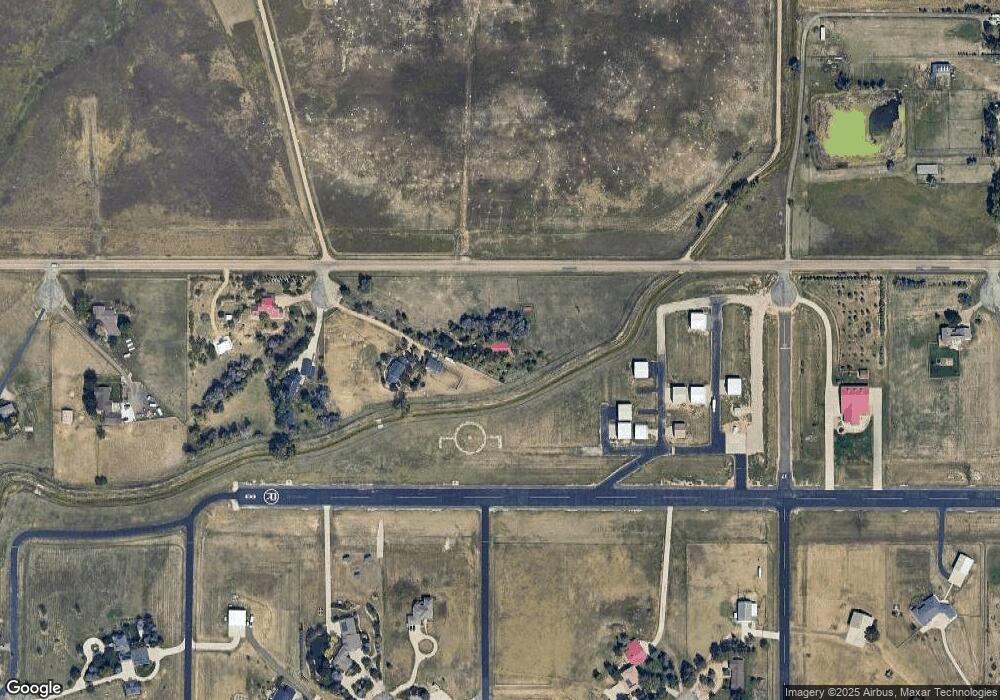
Map
Nearby Homes
- 4764 Beverly Ln
- 4625 Beverly Ln
- 270 Maddox Ln
- 1820 Metcalf Ct
- 1809 Meagan Way
- 1920 Miranda Rd
- 818 County Road 10 1 2
- 1963 Merrill Dr
- 5580 Summit Way
- 65 Marlowe Dr
- 1924 Morgan Dr
- 1783 Morgan Dr
- 2344 County Road 12
- 1324 Northview Dr
- 4738 County Road 5
- 938 Flora View Dr
- 1060 Ascent Trail Cir
- 895 Golden Peak Dr
- 965 Quarry Cir
- 718 State Highway 52
- 1242 Doris Cir
- 1234 Doris Cir
- 1238 Doris Cir
- 4772 Sylvia Ln
- 4763 Sylvia Ln
- 1500 Bonnie Cir
- 4763 Betty Place
- 1116 Barbara Cir
- 1112 Barbara Cir
- 4762 Betty Place
- 4732 Sylvia Ln
- 4743 Sylvia Ln
- 4717 Betty Place
- 1608 Della Ct
- 4726 Betty Place
- 4748 Anne Place
- 4715 Sylvia Ln
- 1108 Barbara Cir
- 4675 Betty Place
- 4674 Sylvia Ln