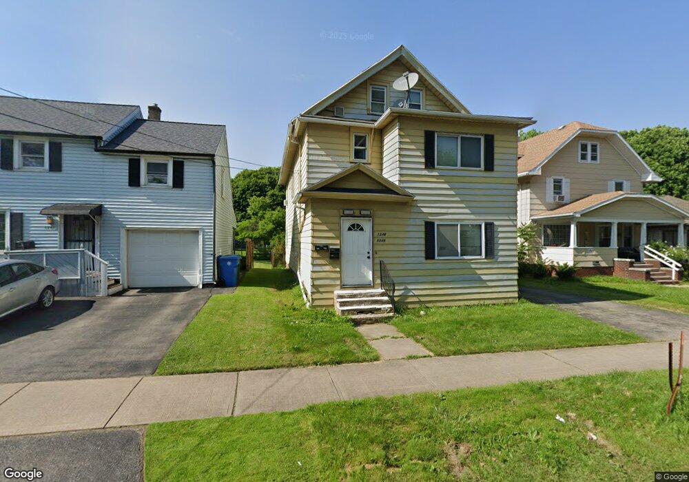
1246 Norton St Unit 1248 Rochester, NY 14621
Northeast Rochester NeighborhoodEstimated Value: $117,000 - $156,653
4
Beds
2
Baths
2,016
Sq Ft
$66/Sq Ft
Est. Value
About This Home
This home is located at 1246 Norton St Unit 1248, Rochester, NY 14621 and is currently estimated at $133,413, approximately $66 per square foot. 1246 Norton St Unit 1248 is a home located in Monroe County with nearby schools including School 39-Andrew J. Townson, Mary McLeod Bethune School No. 45, and School 25 Nathaniel Hawthorne.
Ownership History
Date
Name
Owned For
Owner Type
Purchase Details
Closed on
Oct 8, 2002
Sold by
City Of Rochester
Bought by
Brown Derrick
Current Estimated Value
Purchase Details
Closed on
Mar 28, 2002
Sold by
Hud
Bought by
City Of Rochester
Purchase Details
Closed on
Dec 8, 2000
Sold by
Ge Capital Mortgage Servi
Bought by
Hud
Purchase Details
Closed on
Sep 14, 2000
Sold by
Smallwood Gary and Smallwood Gina
Bought by
Ge Capital Mtg Services
Create a Home Valuation Report for This Property
The Home Valuation Report is an in-depth analysis detailing your home's value as well as a comparison with similar homes in the area
Home Values in the Area
Average Home Value in this Area
Purchase History
| Date | Buyer | Sale Price | Title Company |
|---|---|---|---|
| Brown Derrick | $36,000 | Gary Delehanty | |
| City Of Rochester | $7,500 | -- | |
| City Of Rochester | $19,000 | -- | |
| Hud | -- | -- | |
| Ge Capital Mtg Services | $86,460 | Fein,Sich,Crane, Llp |
Source: Public Records
Tax History Compared to Growth
Tax History
| Year | Tax Paid | Tax Assessment Tax Assessment Total Assessment is a certain percentage of the fair market value that is determined by local assessors to be the total taxable value of land and additions on the property. | Land | Improvement |
|---|---|---|---|---|
| 2024 | $1,026 | $115,000 | $11,000 | $104,000 |
| 2023 | $990 | $72,000 | $6,000 | $66,000 |
| 2022 | $995 | $72,000 | $6,000 | $66,000 |
| 2021 | $1,028 | $72,000 | $6,000 | $66,000 |
| 2020 | $1,001 | $72,000 | $6,000 | $66,000 |
| 2019 | $876 | $56,500 | $6,000 | $50,500 |
| 2018 | $2,131 | $56,500 | $6,000 | $50,500 |
| 2017 | $3,088 | $56,500 | $6,000 | $50,500 |
| 2016 | $876 | $56,500 | $6,000 | $50,500 |
| 2015 | -- | $56,500 | $6,000 | $50,500 |
| 2014 | -- | $56,500 | $6,000 | $50,500 |
Source: Public Records
Map
Nearby Homes
- 63 Dickinson St
- 46 Baird St
- 146 Delamaine Dr
- 152 Delamaine Dr
- 212 Saint Stanislaus St
- 187-189 Delamaine Dr
- 120 Barberry Terrace
- 50 Manchester St
- 1001-1005 Portland Ave
- 24 Jackson St
- 318-320 Durnan St
- 1290-1292 Portland Ave
- 51 Sylvester St
- 1482 Norton St
- 35-37 Jackson St
- 46 Oneida St
- 256 Durnan St
- 110 Kosciusko St
- 94 Kosciusko St
- 149 Northlane Dr
- 1246 Norton St Unit 1246 up
- 1246 Norton St
- 1240 Norton St
- 1250 Norton St
- 1234 Norton St
- 1258 Norton St
- 22 Brookhaven Terrace
- 1264 Norton St
- 1249 Norton St
- 1243 Norton St
- 1239 Norton St
- 1253 Norton St
- 28 Brookhaven Terrace
- 1255 Norton St
- 1222 Norton St
- 1233 Norton St
- 1270 Norton St
- 1225 Norton St
- 36 Brookhaven Terrace
- 1216 Norton St