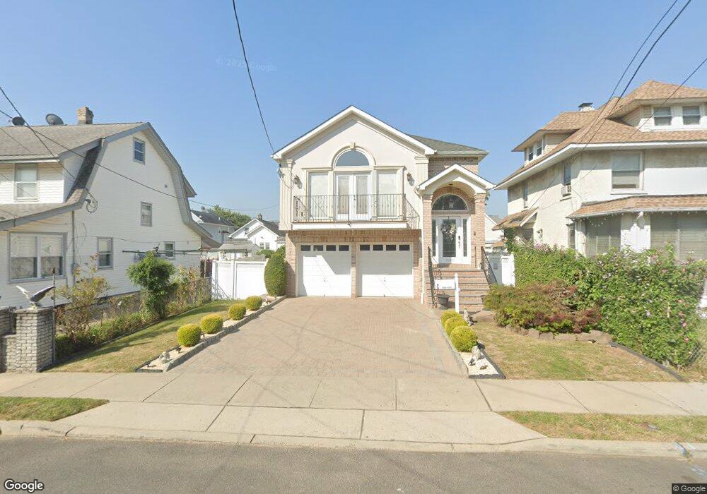
1246 Robert St Hillside, NJ 07205
Westminster NeighborhoodEstimated Value: $527,230 - $696,000
Studio
--
Bath
--
Sq Ft
5,184
Sq Ft Lot
About This Home
This home is located at 1246 Robert St, Hillside, NJ 07205 and is currently estimated at $619,058. 1246 Robert St is a home located in Union County with nearby schools including Abram P. Morris-Saybrook Elementary School, Hurden Looker School, and Ola Edwards Community School.
Ownership History
Date
Name
Owned For
Owner Type
Purchase Details
Closed on
Mar 30, 2016
Sold by
Marques Estates L L C
Bought by
Murta Antonio J and Murta Maria C
Current Estimated Value
Purchase Details
Closed on
Aug 4, 2009
Sold by
Marques Filipe
Bought by
Marques Estates Llc
Purchase Details
Closed on
Jun 13, 2006
Sold by
Welwitschia Homes Llc
Bought by
Marques Felipe
Purchase Details
Closed on
Feb 28, 2006
Sold by
Mendoza Pablo E
Bought by
Welwitschia Homes Llc
Create a Home Valuation Report for This Property
The Home Valuation Report is an in-depth analysis detailing your home's value as well as a comparison with similar homes in the area
Home Values in the Area
Average Home Value in this Area
Purchase History
| Date | Buyer | Sale Price | Title Company |
|---|---|---|---|
| Murta Antonio J | $320,000 | -- | |
| Marques Estates Llc | -- | None Available | |
| Marques Felipe | $195,000 | -- | |
| Welwitschia Homes Llc | $180,000 | -- |
Source: Public Records
Tax History
| Year | Tax Paid | Tax Assessment Tax Assessment Total Assessment is a certain percentage of the fair market value that is determined by local assessors to be the total taxable value of land and additions on the property. | Land | Improvement |
|---|---|---|---|---|
| 2025 | $14,179 | $171,800 | $68,300 | $103,500 |
| 2024 | $13,766 | $171,800 | $68,300 | $103,500 |
Source: Public Records
Map
Nearby Homes
- 1229 Robert St
- 1250 N Broad St Unit A1
- 24 Hollywood Ave
- 1204 Salem Ave
- 1200 Salem Ave
- 137 Fairbanks St
- 161 Virginia St
- 124 Woodruff Place
- 75 Hillside Ave
- 1018 John Glenn Dr
- 345 Sanford Ave
- 1408 Lexington Place Unit 1410
- 1444 N Broad St
- 1038 Fairview Place
- 1379 Garfield Place
- 1318 State St
- 128 Baltimore Ave
- 1504 Munn Ave
- 420 Hollywood Ave
- 1406 Maple Ave
- 1242 Robert St
- 1250 Robert St
- 1238 Robert St Unit 40
- 1254 Robert St
- 1249 Salem Ave
- 1251 Salem Ave
- 1224 Robert St
- 1220 Robert St
- 1253 Salem Ave
- 1236 Robert St
- 1245 Salem Ave
- 1256 Robert St
- 1255 Salem Ave
- 1239 Salem Ave
- 1247 Robert St
- 1243 Robert St
- 1251 Robert St
- 1232 Robert St
- 1257 Salem Ave
- 1260 Robert St
Your Personal Tour Guide
Ask me questions while you tour the home.