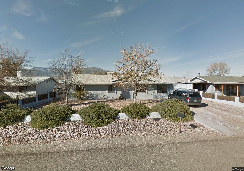
1246 S Hammer Cir Cottonwood, AZ 86326
Estimated Value: $364,806
3
Beds
--
Bath
1,568
Sq Ft
$233/Sq Ft
Est. Value
About This Home
This home is located at 1246 S Hammer Cir, Cottonwood, AZ 86326 and is currently estimated at $364,806, approximately $232 per square foot. 1246 S Hammer Cir is a home located in Yavapai County with nearby schools including Dr Daniel Bright Elementary School, Cottonwood Elementary School, and Cottonwood Community School.
Ownership History
Date
Name
Owned For
Owner Type
Purchase Details
Closed on
Mar 10, 2004
Sold by
Mauldin Wesley A and Mauldin Betty L
Bought by
Y E S The Arc
Current Estimated Value
Purchase Details
Closed on
Oct 19, 2001
Sold by
Mauldin Wesley A and Mauldin Betty L
Bought by
Mauldin Wesley A and Mauldin Betty L
Purchase Details
Closed on
Oct 22, 1999
Sold by
Peters Ruby L
Bought by
Peters Ruby L and Rodgers Corliss Elaine
Purchase Details
Closed on
Feb 23, 1999
Sold by
Rodgers Corliss Elaine
Bought by
Peters Ruby L
Home Financials for this Owner
Home Financials are based on the most recent Mortgage that was taken out on this home.
Original Mortgage
$75,000
Interest Rate
6.79%
Mortgage Type
Purchase Money Mortgage
Create a Home Valuation Report for This Property
The Home Valuation Report is an in-depth analysis detailing your home's value as well as a comparison with similar homes in the area
Home Values in the Area
Average Home Value in this Area
Purchase History
| Date | Buyer | Sale Price | Title Company |
|---|---|---|---|
| Y E S The Arc | $136,000 | First American Title Ins Co | |
| Mauldin Wesley A | -- | Chicago Title Insurance Co | |
| Mauldin Wesley A | $110,000 | Chicago Title Insurance Co | |
| Peters Ruby L | -- | Yavapai Coconino Title Agenc | |
| Peters Ruby L | -- | Yavapai Coconino Title Agenc |
Source: Public Records
Mortgage History
| Date | Status | Borrower | Loan Amount |
|---|---|---|---|
| Previous Owner | Peters Ruby L | $75,000 |
Source: Public Records
Tax History Compared to Growth
Tax History
| Year | Tax Paid | Tax Assessment Tax Assessment Total Assessment is a certain percentage of the fair market value that is determined by local assessors to be the total taxable value of land and additions on the property. | Land | Improvement |
|---|---|---|---|---|
| 2026 | -- | -- | -- | -- |
| 2024 | $0 | -- | -- | -- |
| 2023 | $0 | $36,402 | $5,301 | $31,101 |
| 2022 | $0 | $29,894 | $4,281 | $25,613 |
| 2021 | $0 | $18,674 | $2,985 | $15,689 |
| 2020 | $0 | $0 | $0 | $0 |
| 2019 | $0 | $0 | $0 | $0 |
| 2018 | $0 | $0 | $0 | $0 |
| 2017 | $0 | $0 | $0 | $0 |
| 2016 | $0 | $0 | $0 | $0 |
| 2015 | -- | $0 | $0 | $0 |
| 2014 | -- | $0 | $0 | $0 |
Source: Public Records
Map
Nearby Homes
- 1196 S 16th Place
- 1355 S Hermits Cir
- 1379 E Hermits Cir
- 1798 E Fir St
- 1751 E Parada Del Sol
- 1141 S 17th St Unit 32B
- 1059 S 16th Place
- 1322 E Five Star Blvd
- 1476 S Verde Dr
- 1520 E Elm St
- 1546 E Sunset Cir
- 1295 E Ridgeview Dr
- 1532 Camino Real Unit 2983
- 1775 Pinon Dr
- 1537 S Verde Dr
- 1851 E Donner Trail
- 1615 E Crestview Cir
- 1655 Oro Dr
- 1860 Sunset Dr
- 2050 W Highway 89a Unit 410