1246 Tree Farm Rd Moultrie, GA 31768
Estimated Value: $297,000 - $1,992,000
--
Bed
1
Bath
3,767
Sq Ft
$304/Sq Ft
Est. Value
About This Home
This home is located at 1246 Tree Farm Rd, Moultrie, GA 31768 and is currently estimated at $1,144,500, approximately $303 per square foot. 1246 Tree Farm Rd is a home located in Colquitt County with nearby schools including Sunset Elementary School, C.A. Gray Junior High School, and Willie J. Williams Middle School.
Ownership History
Date
Name
Owned For
Owner Type
Purchase Details
Closed on
Jan 30, 2020
Sold by
Paul R Eusner Family Trust
Bought by
Mpf Llc
Current Estimated Value
Purchase Details
Closed on
Jan 8, 2013
Sold by
Eusner Paul R
Bought by
Erin Eusner Sullivan Fam Trust
Purchase Details
Closed on
Feb 3, 2012
Sold by
Carmichael Cary
Bought by
Eusner Paul R
Purchase Details
Closed on
Nov 30, 1999
Bought by
Pidcock Frank Ramsey
Purchase Details
Closed on
Jul 1, 1988
Bought by
Pidcock F R Iii Est
Create a Home Valuation Report for This Property
The Home Valuation Report is an in-depth analysis detailing your home's value as well as a comparison with similar homes in the area
Home Values in the Area
Average Home Value in this Area
Purchase History
| Date | Buyer | Sale Price | Title Company |
|---|---|---|---|
| Mpf Llc | -- | -- | |
| Erin Eusner Sullivan Fam Trust | -- | -- | |
| Eusner Paul R | $875,000 | -- | |
| Eusner Paul R | $875,000 | -- | |
| Pidcock Frank Ramsey | -- | -- | |
| Pidcock F R Iii Est | $120,000 | -- |
Source: Public Records
Tax History Compared to Growth
Tax History
| Year | Tax Paid | Tax Assessment Tax Assessment Total Assessment is a certain percentage of the fair market value that is determined by local assessors to be the total taxable value of land and additions on the property. | Land | Improvement |
|---|---|---|---|---|
| 2024 | $7,802 | $448,158 | $141,467 | $306,691 |
| 2023 | $6,352 | $384,863 | $141,467 | $243,396 |
| 2022 | $6,133 | $362,219 | $140,201 | $222,018 |
| 2021 | $5,698 | $324,988 | $125,082 | $199,906 |
| 2020 | $5,433 | $310,970 | $125,082 | $185,888 |
| 2019 | $5,766 | $301,626 | $125,082 | $176,544 |
| 2018 | $6,633 | $259,333 | $82,789 | $176,544 |
| 2017 | $5,208 | $219,986 | $43,442 | $176,544 |
| 2016 | $5,627 | $219,986 | $43,442 | $176,544 |
Source: Public Records
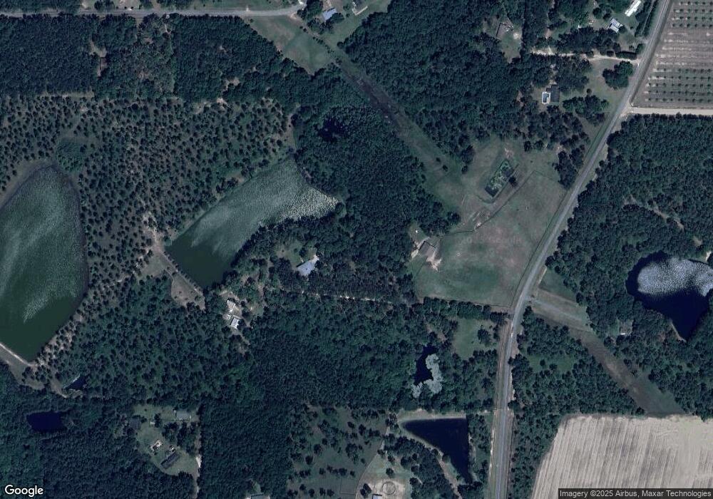
Map
Nearby Homes
- 182 Mcginty Rd
- 219 Cox Dairy Rd
- 0 Kendallwood Dr Unit 1652301
- 0 Gatewood Cir Unit 1652303
- 1215 12th St SW
- 39 Hummingbird Rd
- 904 Barbara Cir
- 905 Barbara Cir
- 2010 West Blvd
- Lot 3 Hummingbird Ln
- 10 Hummingbird Rd
- 216 Circle Rd
- 1712 Villa Dr SW
- 5 Bracken Dr
- 1159 6th St SW
- 1546 Ivy Ln
- 1160 4th St SW
- 1175 4th St SW
- 1941 S Main St
- 1777 S Main St
- 1246 Tree Farm Rd
- 930 Paul Murphy Rd
- 886 Paul Murphy Rd
- 1138 Tree Farm Rd
- 293 Lakeshore Rd
- 332 Lakeshore Rd
- 1241 Tree Farm Rd
- 1112 Tree Farm Rd
- 238 Lakeshore Rd
- 304 Lakeshore Rd
- 974 Paul Murphy Rd
- 1000 Paul Murphy Rd
- 375 Lakeshore Rd
- 380 Lakeshore Rd
- 209 Lakeshore Rd
- 1406 Tree Farm Rd
- 199 Lakeshore Rd
- 171 Lakeshore Rd
- 1088 Tree Farm Rd
- 149 Lakeshore Rd