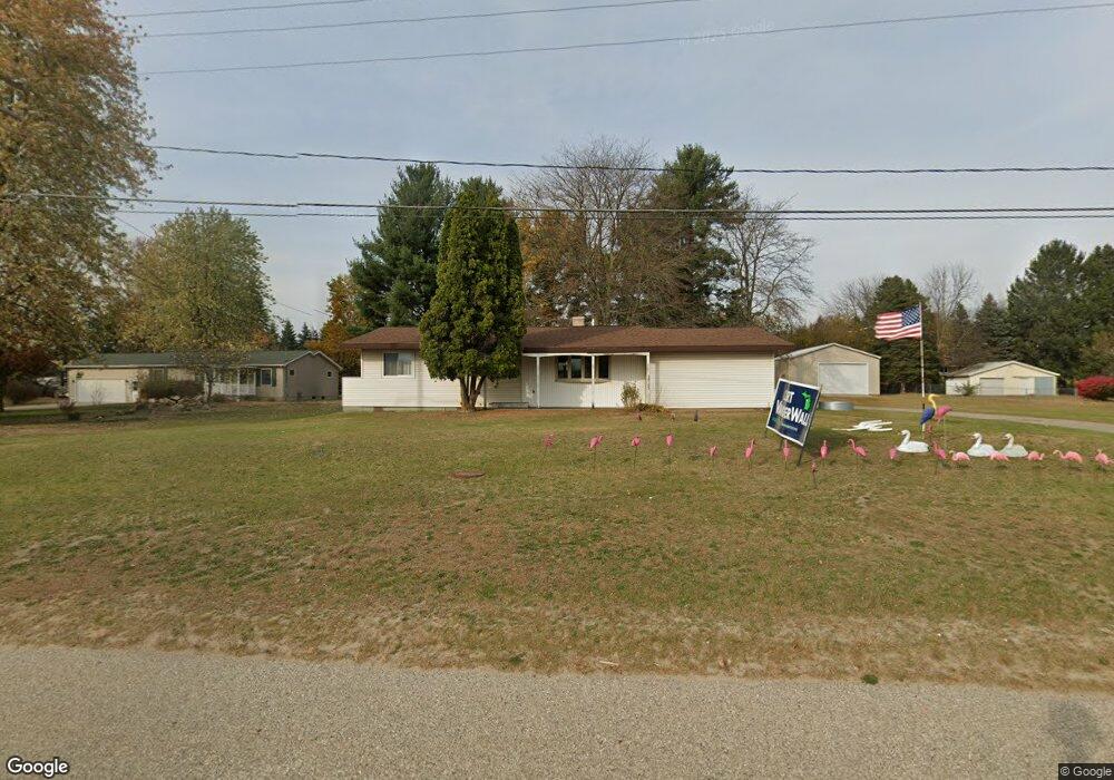
1246 W Us Highway 10 31 Unit 31 Scottville, MI 49454
Estimated Value: $189,000 - $240,000
--
Bed
--
Bath
1,092
Sq Ft
$198/Sq Ft
Est. Value
About This Home
This home is located at 1246 W Us Highway 10 31 Unit 31, Scottville, MI 49454 and is currently estimated at $216,389, approximately $198 per square foot. 1246 W Us Highway 10 31 Unit 31 is a home located in Mason County with nearby schools including Mason County Central Upper Elementary School, Scottville Elementary School, and Mason County Central Middle School.
Ownership History
Date
Name
Owned For
Owner Type
Purchase Details
Closed on
May 19, 2010
Sold by
Homesales Inc
Bought by
Thiel Terence S
Current Estimated Value
Purchase Details
Closed on
Apr 23, 2009
Sold by
Martin Anthony and Martin Wendy J
Bought by
Chase Home Finance Llc
Purchase Details
Closed on
Apr 3, 2009
Sold by
Chase Home Finance Llc
Bought by
Home Sales Inc
Purchase Details
Closed on
Sep 27, 2005
Sold by
Anderson Gregory and Estate Of Marceline E Anderson
Bought by
Martin Anthony and Martin Wendy
Home Financials for this Owner
Home Financials are based on the most recent Mortgage that was taken out on this home.
Original Mortgage
$80,835
Interest Rate
5.93%
Mortgage Type
New Conventional
Purchase Details
Closed on
Aug 1, 1972
Create a Home Valuation Report for This Property
The Home Valuation Report is an in-depth analysis detailing your home's value as well as a comparison with similar homes in the area
Home Values in the Area
Average Home Value in this Area
Purchase History
| Date | Buyer | Sale Price | Title Company |
|---|---|---|---|
| Thiel Terence S | -- | None Available | |
| Chase Home Finance Llc | $49,300 | None Available | |
| Home Sales Inc | -- | -- | |
| Martin Anthony | $79,260 | Lakeshore Land & Title | |
| -- | $1,500 | -- |
Source: Public Records
Mortgage History
| Date | Status | Borrower | Loan Amount |
|---|---|---|---|
| Previous Owner | Martin Anthony | $80,835 |
Source: Public Records
Tax History Compared to Growth
Tax History
| Year | Tax Paid | Tax Assessment Tax Assessment Total Assessment is a certain percentage of the fair market value that is determined by local assessors to be the total taxable value of land and additions on the property. | Land | Improvement |
|---|---|---|---|---|
| 2025 | $1,118 | $88,100 | $88,100 | $0 |
| 2024 | -- | $69,200 | $69,200 | $0 |
| 2023 | -- | $58,500 | $58,500 | $0 |
| 2022 | -- | $49,100 | $0 | $0 |
| 2021 | -- | $45,800 | $0 | $0 |
| 2020 | $6,498 | $41,900 | $0 | $0 |
| 2019 | -- | -- | $0 | $0 |
| 2018 | -- | -- | $0 | $0 |
| 2017 | -- | -- | $0 | $0 |
| 2016 | -- | -- | $0 | $0 |
| 2015 | -- | -- | $0 | $0 |
| 2013 | -- | -- | $0 | $0 |
Source: Public Records
Map
Nearby Homes
- 982 W 1st St
- 313 S Amber Rd
- 1903 W 1st St
- VL W First St Parcel C
- VL W First Street -Parcel A
- VL W First St-Parcel D
- 111 W Broadway Ave
- 203 Crowley St
- 124 W Beryl St
- 309 N Main St
- 301 Crowley St
- 5.26 Acres Highway 10 NW
- 1821 W Hansen Rd
- 508 N Main St
- 511 Thomas St
- 1266 N Cedar Lane Rd
- 0 S Columbia Ave
- VL E 2nd St
- 1892 Highway 10 NW
- 5957 U S 31
- 1246 U S 10
- 1260 W Us Highway 10 31 Unit 31
- 27 N Gordon Rd
- 1251 Esther St
- 1237 Esther St
- 1296 W Us Highway 10 31 Unit 31
- 1233 W Us Highway 10 31 Unit 31
- 1281 Esther St
- 59 N Gordon Rd
- 1251 W Esther St
- 0 Esther Rd
- Lots 30-35 Esther Rd
- 3035 Esther Rd
- 35 S Gordon Rd
- 1297 Esther St
- 61 S Gordon Rd
- 1184 W Us Highway 10 31 Unit 31
- 1238 Esther St
- 1238 Esther St
- 58 N Gordon Rd