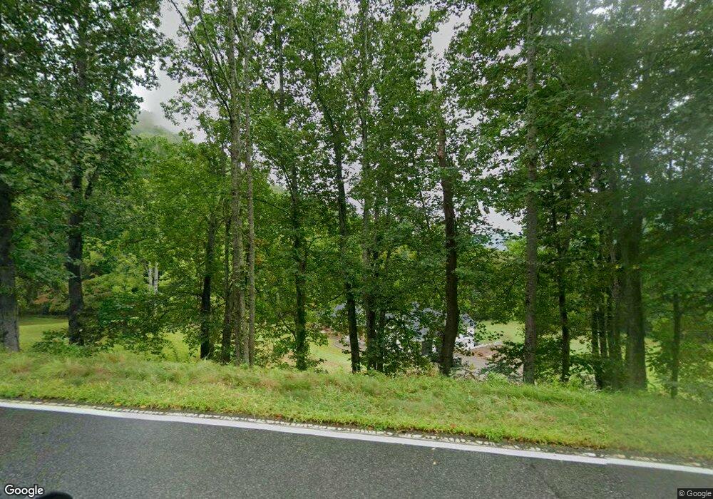
12460 State Highway 197 S Burnsville, NC 28714
Estimated Value: $230,000 - $611,000
3
Beds
1
Bath
1,000
Sq Ft
$412/Sq Ft
Est. Value
About This Home
This home is located at 12460 State Highway 197 S, Burnsville, NC 28714 and is currently estimated at $412,030, approximately $412 per square foot. 12460 State Highway 197 S is a home with nearby schools including Mountain Heritage High School.
Ownership History
Date
Name
Owned For
Owner Type
Purchase Details
Closed on
Dec 22, 2020
Sold by
Woody Jessie C
Bought by
Woody Timothy E and Woody April R
Current Estimated Value
Create a Home Valuation Report for This Property
The Home Valuation Report is an in-depth analysis detailing your home's value as well as a comparison with similar homes in the area
Home Values in the Area
Average Home Value in this Area
Purchase History
| Date | Buyer | Sale Price | Title Company |
|---|---|---|---|
| Woody Timothy E | -- | None Available |
Source: Public Records
Tax History Compared to Growth
Tax History
| Year | Tax Paid | Tax Assessment Tax Assessment Total Assessment is a certain percentage of the fair market value that is determined by local assessors to be the total taxable value of land and additions on the property. | Land | Improvement |
|---|---|---|---|---|
| 2025 | $2,547 | $424,500 | $155,700 | $268,800 |
| 2024 | $2,547 | $424,500 | $155,700 | $268,800 |
| 2023 | $800 | $117,610 | $83,300 | $34,310 |
| 2022 | $784 | $117,610 | $83,300 | $34,310 |
| 2021 | $800 | $117,610 | $83,300 | $34,310 |
| 2020 | $800 | $117,610 | $83,300 | $34,310 |
| 2019 | $800 | $117,610 | $83,300 | $34,310 |
| 2018 | $800 | $117,610 | $83,300 | $34,310 |
| 2017 | $800 | $117,610 | $83,300 | $34,310 |
| 2016 | $776 | $117,610 | $83,300 | $34,310 |
| 2015 | $360 | $64,350 | $46,300 | $18,050 |
| 2014 | $360 | $64,350 | $46,300 | $18,050 |
Source: Public Records
Map
Nearby Homes
- 11820 State Highway 197 None S
- 596 N Ridge Runner Rd
- Lot 64 Hawks Nest Dr
- NA N Ridgerunner Rd
- 000 N Ridgerunner Rd Unit 92
- 377 S Ridgerunner Rd
- Lot 21 N Carolina 197
- 197 Eagle Bald Trail Unit 34
- 143 Daniel Boone Trail
- 165 Cattail Creek Rd
- 609 Cattail Creek Rd
- 616 Old Growth Forest Rd
- Lots 61 and 62 Wildwood Dr
- 0000 Cattail Creek Rd
- Lot 9 Wormy Chestnut Rd
- 170 Mountain Farm Rd
- 88 Mountain Farm Rd
- TBD Wildwood Acres Dr Unit 16,17,23
- 321 Sunset Point Rd
- 224 Logging Horse Rd Unit C-101
- 374 Cc Allen Rd
- 356 Cc Allen Rd
- 71 Ashlynn Ln
- 12447 State Highway 197 S
- 12607 State Highway 197 S
- 24 Ashlynn Ln
- 12040 State Highway 197 S
- 12993 State Highway 197 S
- 12993 State Highway 197 S
- 200 Cc Allen Rd
- 14070 State Highway 197 S
- 13011 State Highway 197 S
- 000 Cc Allen Rd
- 164 Cc Allen Rd
- 000 197 Hwy S
- TBD State Highway 197 None S
- 11820 State Highway 197 S
- 70 Cc Allen Rd
- 13491 State Highway 197 S
- 12041 State Highway 197 S
