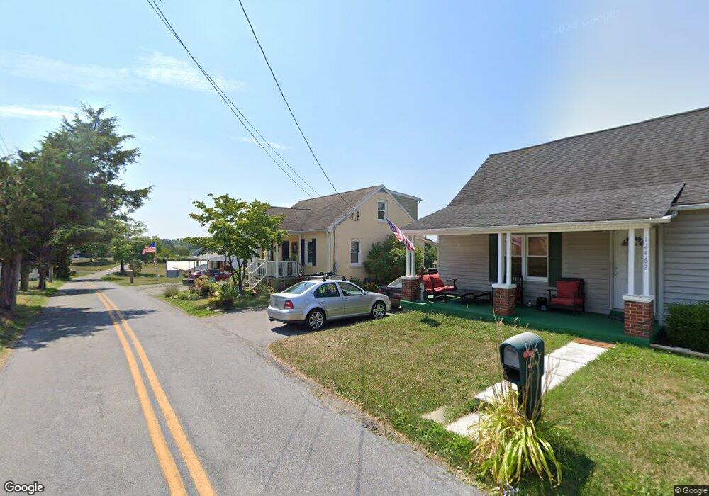
12460 Walnut Point W Hagerstown, MD 21740
Wilson-Conococheague NeighborhoodEstimated Value: $294,000 - $318,000
--
Bed
1
Bath
1,344
Sq Ft
$227/Sq Ft
Est. Value
About This Home
This home is located at 12460 Walnut Point W, Hagerstown, MD 21740 and is currently estimated at $305,099, approximately $227 per square foot. 12460 Walnut Point W is a home located in Washington County with nearby schools including Jonathan Hager Elementary School, Clear Spring Middle School, and Clear Spring High School.
Ownership History
Date
Name
Owned For
Owner Type
Purchase Details
Closed on
Mar 29, 2013
Sold by
Caprion Enterprises Lllc
Bought by
Moser Brad and Moser Ami
Current Estimated Value
Home Financials for this Owner
Home Financials are based on the most recent Mortgage that was taken out on this home.
Original Mortgage
$173,469
Outstanding Balance
$122,888
Interest Rate
3.55%
Mortgage Type
New Conventional
Estimated Equity
$182,211
Purchase Details
Closed on
Jul 10, 2012
Sold by
Mason Kenneth L and Mason Beverly S
Bought by
Caprion Enterprises Llc
Purchase Details
Closed on
Apr 6, 1992
Sold by
Stauder Kevin M and Stauder Kathy L
Bought by
Mason Kenneth L
Home Financials for this Owner
Home Financials are based on the most recent Mortgage that was taken out on this home.
Original Mortgage
$77,000
Interest Rate
8.96%
Create a Home Valuation Report for This Property
The Home Valuation Report is an in-depth analysis detailing your home's value as well as a comparison with similar homes in the area
Home Values in the Area
Average Home Value in this Area
Purchase History
| Date | Buyer | Sale Price | Title Company |
|---|---|---|---|
| Moser Brad | $170,000 | None Available | |
| Caprion Enterprises Llc | $49,900 | Premier Settlements & Title | |
| Mason Kenneth L | $77,000 | -- |
Source: Public Records
Mortgage History
| Date | Status | Borrower | Loan Amount |
|---|---|---|---|
| Open | Moser Brad | $173,469 | |
| Previous Owner | Mason Kenneth L | $77,000 |
Source: Public Records
Tax History Compared to Growth
Tax History
| Year | Tax Paid | Tax Assessment Tax Assessment Total Assessment is a certain percentage of the fair market value that is determined by local assessors to be the total taxable value of land and additions on the property. | Land | Improvement |
|---|---|---|---|---|
| 2025 | $1,901 | $224,300 | $0 | $0 |
| 2024 | $1,901 | $202,200 | $0 | $0 |
| 2023 | $1,752 | $180,100 | $41,000 | $139,100 |
| 2022 | $1,717 | $168,167 | $0 | $0 |
| 2021 | $1,583 | $156,233 | $0 | $0 |
| 2020 | $1,583 | $144,300 | $41,000 | $103,300 |
| 2019 | $1,590 | $144,300 | $41,000 | $103,300 |
| 2018 | $1,590 | $144,300 | $41,000 | $103,300 |
| 2017 | $1,591 | $163,500 | $0 | $0 |
| 2016 | -- | $149,933 | $0 | $0 |
| 2015 | $1,192 | $136,367 | $0 | $0 |
| 2014 | $1,192 | $122,800 | $0 | $0 |
Source: Public Records
Map
Nearby Homes
- 15534 National Pike
- 15149 Bloyers Ave
- 12401 Cedar Ridge Rd
- 12810 Kending Ln
- 12074 Kemps Mill Rd
- 11819 White Pine Dr
- 15939 Hosta Dr
- 12720 Spickler Rd
- 11905 Heather Dr
- 13039 Spickler Rd
- 11701 Walnut Point Rd
- 14924 Clear Spring Rd
- 16512 National Pike
- 14906 Clear Spring Rd
- 14910 Clear Spring Rd
- 13224 Greencastle Pike
- 13726 Hopps Landing Rd
- 0 Rockdale Rd
- 87 Charlotte St
- 71 Charlotte St
- 12460 Walnut Point W
- 12462 Walnut Point W
- 12462 Walnut Point W
- 12460 Walnut Point Rd W
- 12458 Walnut Point W
- 15419 National Pike
- 12464 Walnut Point W
- 15425 National Pike
- 15411 National Pike
- 12466 Walnut Point W
- 12454 Walnut Point W
- 15403 National Pike
- 15418 National Pike
- 15431 National Pike
- 12449 Walnut Point W
- 15416 National Pike
- 15410 National Pike
- 15410 National Pike
- 15401 National Pike
- 15435 National Pike