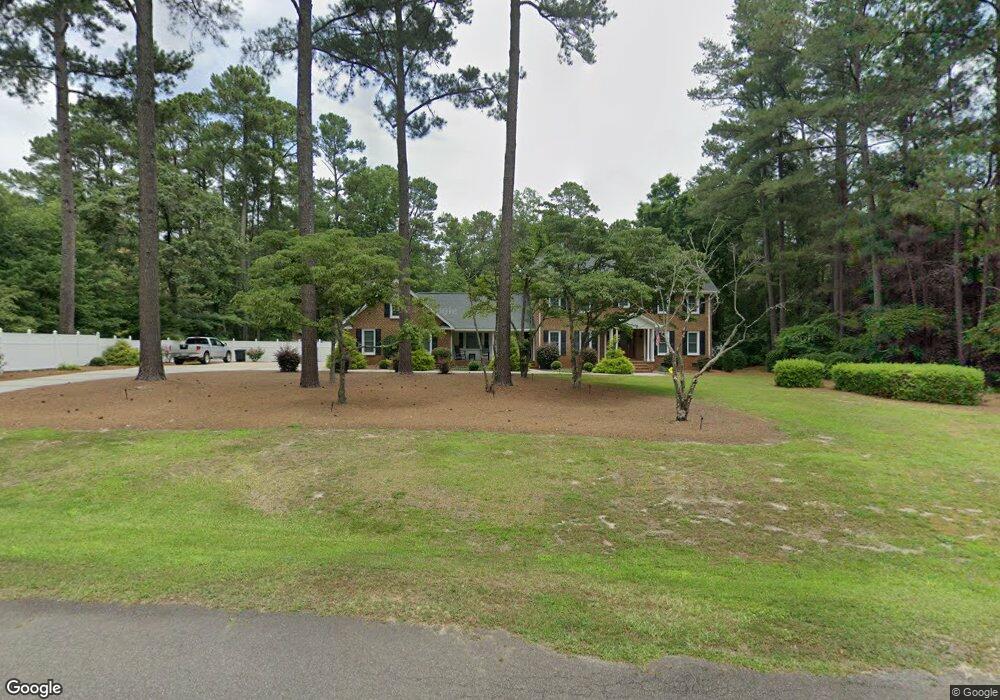
12461 Angus Dr Laurinburg, NC 28352
Estimated Value: $352,249 - $483,000
4
Beds
4
Baths
3,017
Sq Ft
$133/Sq Ft
Est. Value
About This Home
This home is located at 12461 Angus Dr, Laurinburg, NC 28352 and is currently estimated at $400,750, approximately $132 per square foot. 12461 Angus Dr is a home located in Scotland County with nearby schools including Sycamore Lane Elementary School, Scotland High School, and Christ the Cornerstone Academy.
Ownership History
Date
Name
Owned For
Owner Type
Purchase Details
Closed on
Jun 21, 2007
Sold by
Grandey Jack T and Grandey Emilymarie F
Bought by
Todd James W
Current Estimated Value
Home Financials for this Owner
Home Financials are based on the most recent Mortgage that was taken out on this home.
Original Mortgage
$150,000
Outstanding Balance
$92,577
Interest Rate
6.35%
Mortgage Type
New Conventional
Estimated Equity
$308,173
Create a Home Valuation Report for This Property
The Home Valuation Report is an in-depth analysis detailing your home's value as well as a comparison with similar homes in the area
Home Values in the Area
Average Home Value in this Area
Purchase History
| Date | Buyer | Sale Price | Title Company |
|---|---|---|---|
| Todd James W | $195,000 | None Available |
Source: Public Records
Mortgage History
| Date | Status | Borrower | Loan Amount |
|---|---|---|---|
| Open | Todd James W | $150,000 |
Source: Public Records
Tax History Compared to Growth
Tax History
| Year | Tax Paid | Tax Assessment Tax Assessment Total Assessment is a certain percentage of the fair market value that is determined by local assessors to be the total taxable value of land and additions on the property. | Land | Improvement |
|---|---|---|---|---|
| 2025 | $2,468 | $243,740 | $24,200 | $219,540 |
| 2024 | $2,444 | $243,740 | $24,200 | $219,540 |
| 2023 | $2,468 | $243,740 | $24,200 | $219,540 |
| 2022 | $2,468 | $243,740 | $24,200 | $219,540 |
| 2021 | $2,492 | $243,740 | $24,200 | $219,540 |
| 2020 | $2,468 | $243,740 | $24,200 | $219,540 |
| 2019 | $2,492 | $243,740 | $24,200 | $219,540 |
| 2018 | $2,621 | $256,560 | $24,200 | $232,360 |
| 2017 | $2,646 | $256,560 | $24,200 | $232,360 |
| 2016 | $2,672 | $256,560 | $24,200 | $232,360 |
| 2015 | $2,698 | $256,560 | $24,200 | $232,360 |
| 2014 | $2,643 | $0 | $0 | $0 |
Source: Public Records
Map
Nearby Homes
- 12621 Coble Dr
- 12470 Blues Farm Rd
- 12521 Bag Pipe Ln
- 12521 Bagpipe Ln
- 12400 Olde Farm Cir
- 12680 Donna Dr
- 12280 Fair Ln
- 12520 Saddle Path Cir
- Tbd Brandon Cir
- 017 Appin Rd
- 12421 Appin Rd
- 10 Heritage
- 12760 S Pine Villa Dr
- 10 Bobwhite Trail
- 0 Spring Branch Dr
- 12440 Windmere Dr
- 12980 Randomwood Dr
- Lots 7-9 Greenbrier St
- Lots 10-12 Greenbrier St
- 0 Turnpike Unit 100520308
- 12441 Angus Dr
- 12421 Angus Dr
- 12440 Angus Dr
- 12481 Blues Farm Rd
- 12480 Angus Dr
- 13342 Wesleyan Dr
- 12401 Angus Dr
- 12420 Angus Dr
- 12400 Angus Dr
- 13382 Wesleyan Dr
- 13302 Wesleyan Dr
- 12381 Angus Dr
- 12421 Blues Farm Rd
- 12380 Angus Dr
- 10 Blue Farm
- 12361 Angus Dr
- 13340 Wesleyan Dr
- 12701 Coble Dr
- 13360 Wesleyan Dr
- 12661 Coble Dr