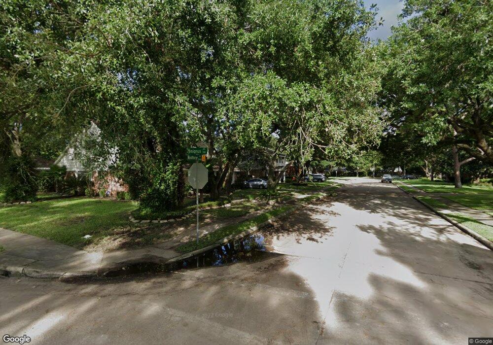
12462 Woodthorpe Ln Houston, TX 77024
Memorial NeighborhoodEstimated Value: $941,474 - $1,740,000
3
Beds
3
Baths
2,524
Sq Ft
$458/Sq Ft
Est. Value
About This Home
This home is located at 12462 Woodthorpe Ln, Houston, TX 77024 and is currently estimated at $1,156,869, approximately $458 per square foot. 12462 Woodthorpe Ln is a home located in Harris County with nearby schools including Bunker Hill Elementary School, Memorial Middle, and Memorial High School.
Ownership History
Date
Name
Owned For
Owner Type
Purchase Details
Closed on
Mar 9, 2012
Sold by
Tickle Paul and Ge Momei
Bought by
Tickle Paul and Ge Momei
Current Estimated Value
Home Financials for this Owner
Home Financials are based on the most recent Mortgage that was taken out on this home.
Original Mortgage
$234,000
Outstanding Balance
$30,028
Interest Rate
3.91%
Mortgage Type
New Conventional
Estimated Equity
$1,126,841
Purchase Details
Closed on
Jul 7, 2008
Sold by
Sposato Leopoldo and Marinelli Rita
Bought by
Tickle Paul and Ge Momei
Home Financials for this Owner
Home Financials are based on the most recent Mortgage that was taken out on this home.
Original Mortgage
$380,000
Outstanding Balance
$244,153
Interest Rate
5.99%
Mortgage Type
Purchase Money Mortgage
Estimated Equity
$912,716
Purchase Details
Closed on
Sep 14, 2005
Sold by
Murphey John R and Murphey Ann M
Bought by
Sposato Leopoldo and Marinelli Rita
Create a Home Valuation Report for This Property
The Home Valuation Report is an in-depth analysis detailing your home's value as well as a comparison with similar homes in the area
Home Values in the Area
Average Home Value in this Area
Purchase History
| Date | Buyer | Sale Price | Title Company |
|---|---|---|---|
| Tickle Paul | -- | Ncs-Placer Title | |
| Tickle Paul | -- | Tradition Title Company | |
| Sposato Leopoldo | -- | Alamo Title Company |
Source: Public Records
Mortgage History
| Date | Status | Borrower | Loan Amount |
|---|---|---|---|
| Open | Tickle Paul | $234,000 | |
| Open | Tickle Paul | $380,000 |
Source: Public Records
Tax History Compared to Growth
Tax History
| Year | Tax Paid | Tax Assessment Tax Assessment Total Assessment is a certain percentage of the fair market value that is determined by local assessors to be the total taxable value of land and additions on the property. | Land | Improvement |
|---|---|---|---|---|
| 2025 | $12,696 | $738,132 | $687,863 | $50,269 |
| 2024 | $12,696 | $781,019 | $647,400 | $133,619 |
| 2023 | $12,696 | $806,721 | $647,400 | $159,321 |
| 2022 | $15,945 | $712,570 | $566,475 | $146,095 |
| 2021 | $15,137 | $620,000 | $526,013 | $93,987 |
| 2020 | $15,989 | $669,000 | $526,013 | $142,987 |
| 2019 | $15,187 | $580,109 | $526,013 | $54,096 |
| 2018 | $6,372 | $651,039 | $485,550 | $165,489 |
| 2017 | $17,489 | $668,500 | $485,550 | $182,950 |
| 2016 | $17,236 | $695,000 | $485,550 | $209,450 |
| 2015 | $11,385 | $695,000 | $485,550 | $209,450 |
| 2014 | $11,385 | $630,104 | $404,625 | $225,479 |
Source: Public Records
Map
Nearby Homes
- 515 Tallowood Rd Unit 61
- 12406 Overcup Dr
- 12511 Overcup Dr
- 12318 Queensbury Ln
- 12315 Barryknoll Ln
- 12602 Overcup Dr
- 12231 Kimberley Ln
- 12326 Old Oaks Dr
- 12454 Mooreknoll Ln
- 538 Hallie Dr
- 12739 Memorial Dr
- 12811 Memorial Dr
- 12564 Memorial Dr
- 437 Bendwood Dr
- 477 Bendwood Dr
- 12334 Beauregard Dr
- 422 Faust Ln
- 425 Bendwood Dr Unit 49
- 206 Sutton Row Place
- 207 Sutton Row Place
- 12458 Woodthorpe Ln
- 12466 Woodthorpe Ln
- 12463 Kimberley Ln
- 12454 Woodthorpe Ln
- 12459 Kimberley Ln
- 12467 Kimberley Ln
- 12455 Kimberley Ln
- 12467 Woodthorpe Ln
- 12459 Woodthorpe Ln
- 12503 Woodthorpe Ln
- 12450 Woodthorpe Ln
- 12455 Woodthorpe Ln
- 12451 Kimberley Ln
- 12507 Woodthorpe Ln
- 12502 Woodthorpe Ln
- 12451 Woodthorpe Ln
- 12435 Woodthorpe Ln
- 12462 Kimberley Ln
- 12466 Kimberley Ln
- 12458 Kimberley Ln