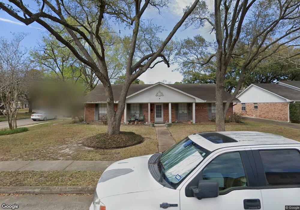
12466 Kimberley Ln Houston, TX 77024
Memorial NeighborhoodEstimated Value: $943,000 - $1,061,000
4
Beds
2
Baths
2,724
Sq Ft
$367/Sq Ft
Est. Value
About This Home
This home is located at 12466 Kimberley Ln, Houston, TX 77024 and is currently estimated at $1,000,895, approximately $367 per square foot. 12466 Kimberley Ln is a home located in Harris County with nearby schools including Bunker Hill Elementary School, Memorial Middle, and Memorial High School.
Ownership History
Date
Name
Owned For
Owner Type
Purchase Details
Closed on
Jun 16, 2018
Sold by
Wiggins Diane E and Wiggins Robert M
Bought by
Wiggins Diane K and Wiggins Robert M
Current Estimated Value
Purchase Details
Closed on
Sep 16, 1994
Sold by
Wiggins Diane and Wiggins William Roberts
Bought by
Wiggins Velma Morgan
Create a Home Valuation Report for This Property
The Home Valuation Report is an in-depth analysis detailing your home's value as well as a comparison with similar homes in the area
Home Values in the Area
Average Home Value in this Area
Purchase History
| Date | Buyer | Sale Price | Title Company |
|---|---|---|---|
| Wiggins Diane K | -- | None Available | |
| Wiggins Velma Morgan | -- | -- |
Source: Public Records
Tax History Compared to Growth
Tax History
| Year | Tax Paid | Tax Assessment Tax Assessment Total Assessment is a certain percentage of the fair market value that is determined by local assessors to be the total taxable value of land and additions on the property. | Land | Improvement |
|---|---|---|---|---|
| 2025 | $13,487 | $865,507 | $648,912 | $216,595 |
| 2024 | $13,487 | $808,262 | $610,740 | $197,522 |
| 2023 | $13,399 | $780,423 | $610,740 | $169,683 |
| 2022 | $15,430 | $689,327 | $534,398 | $154,929 |
| 2021 | $14,649 | $600,000 | $496,227 | $103,773 |
| 2020 | $15,679 | $625,747 | $496,227 | $129,520 |
| 2019 | $15,928 | $608,402 | $496,227 | $112,175 |
| 2018 | $7,261 | $593,480 | $458,055 | $135,425 |
| 2017 | $15,129 | $593,480 | $458,055 | $135,425 |
| 2016 | $13,754 | $593,480 | $458,055 | $135,425 |
| 2015 | $3,170 | $593,480 | $508,950 | $84,530 |
| 2014 | $3,170 | $580,766 | $424,125 | $156,641 |
Source: Public Records
Map
Nearby Homes
- 12318 Queensbury Ln
- 12315 Barryknoll Ln
- 12454 Mooreknoll Ln
- 515 Tallowood Rd Unit 61
- 12231 Kimberley Ln
- 12406 Overcup Dr
- 12511 Overcup Dr
- 12602 Overcup Dr
- 12326 Old Oaks Dr
- 538 Hallie Dr
- 12811 Memorial Dr
- 12739 Memorial Dr
- 12564 Memorial Dr
- 437 Bendwood Dr
- 477 Bendwood Dr
- 12334 Beauregard Dr
- 422 Faust Ln
- 425 Bendwood Dr Unit 49
- 11933 Barryknoll Ln
- 206 Sutton Row Place
- 12462 Kimberley Ln
- 12467 Pinerock Ln
- 12503 Vindon Dr
- 12458 Kimberley Ln
- 12463 Pinerock Ln
- 12467 Kimberley Ln
- 12502 Woodthorpe Ln
- 12459 Pinerock Ln
- 12463 Kimberley Ln
- 12502 Vindon Dr
- 12507 Vindon Dr
- 12454 Kimberley Ln
- 12459 Kimberley Ln
- 12506 Woodthorpe Ln
- 12455 Pinerock Ln
- 12511 Vindon Dr
- 12455 Kimberley Ln
- 12450 Kimberley Ln
- 12503 Pinerock Ln
- 12510 Woodthorpe Ln