Estimated Value: $334,000 - $402,000
4
Beds
4
Baths
2,347
Sq Ft
$155/Sq Ft
Est. Value
About This Home
This home is located at 12469 S 569 Rd, Miami, OK 74354 and is currently estimated at $363,031, approximately $154 per square foot. 12469 S 569 Rd is a home located in Ottawa County with nearby schools including Miami High School.
Ownership History
Date
Name
Owned For
Owner Type
Purchase Details
Closed on
Apr 2, 2007
Sold by
Mathia Randy E and Mathia Fleda Lucille
Bought by
Mathia Randy E and Mathia Fleda Lucille
Current Estimated Value
Home Financials for this Owner
Home Financials are based on the most recent Mortgage that was taken out on this home.
Original Mortgage
$52,000
Interest Rate
6.19%
Mortgage Type
New Conventional
Purchase Details
Closed on
Jun 8, 2006
Sold by
Orcutt Doval D
Bought by
Mathia Randy E and Mathia Fleda Lucille
Purchase Details
Closed on
Apr 22, 2005
Sold by
Atkinson Dennis and Atkinson Claudia
Bought by
Orcutt Doval D and Doval D Orcutt Revocable Trust
Purchase Details
Closed on
Sep 14, 2001
Bought by
Atkinson Dennis
Purchase Details
Closed on
Jun 4, 1999
Bought by
Spillman Mel Douglas
Create a Home Valuation Report for This Property
The Home Valuation Report is an in-depth analysis detailing your home's value as well as a comparison with similar homes in the area
Home Values in the Area
Average Home Value in this Area
Purchase History
| Date | Buyer | Sale Price | Title Company |
|---|---|---|---|
| Mathia Randy E | -- | None Available | |
| Mathia Randy E | $16,000 | None Available | |
| Orcutt Doval D | $8,500 | None Available | |
| Atkinson Dennis | $6,000 | -- | |
| Spillman Mel Douglas | $85,000 | -- |
Source: Public Records
Mortgage History
| Date | Status | Borrower | Loan Amount |
|---|---|---|---|
| Closed | Mathia Randy E | $52,000 |
Source: Public Records
Tax History Compared to Growth
Tax History
| Year | Tax Paid | Tax Assessment Tax Assessment Total Assessment is a certain percentage of the fair market value that is determined by local assessors to be the total taxable value of land and additions on the property. | Land | Improvement |
|---|---|---|---|---|
| 2025 | $2,251 | $25,079 | $798 | $24,281 |
| 2024 | $2,251 | $24,349 | $798 | $23,551 |
| 2023 | $2,251 | $23,640 | $798 | $22,842 |
| 2022 | $2,029 | $22,951 | $1,824 | $21,127 |
| 2021 | $2,011 | $22,283 | $1,824 | $20,459 |
| 2020 | $1,966 | $21,634 | $1,824 | $19,810 |
| 2019 | $1,643 | $21,004 | $1,824 | $19,180 |
| 2018 | $1,653 | $21,004 | $1,824 | $19,180 |
| 2017 | $1,694 | $21,161 | $1,824 | $19,337 |
| 2016 | $1,677 | $21,872 | $1,758 | $20,114 |
| 2015 | $81 | $969 | $969 | $0 |
| 2014 | $1,710 | $21,872 | $1,758 | $20,114 |
Source: Public Records
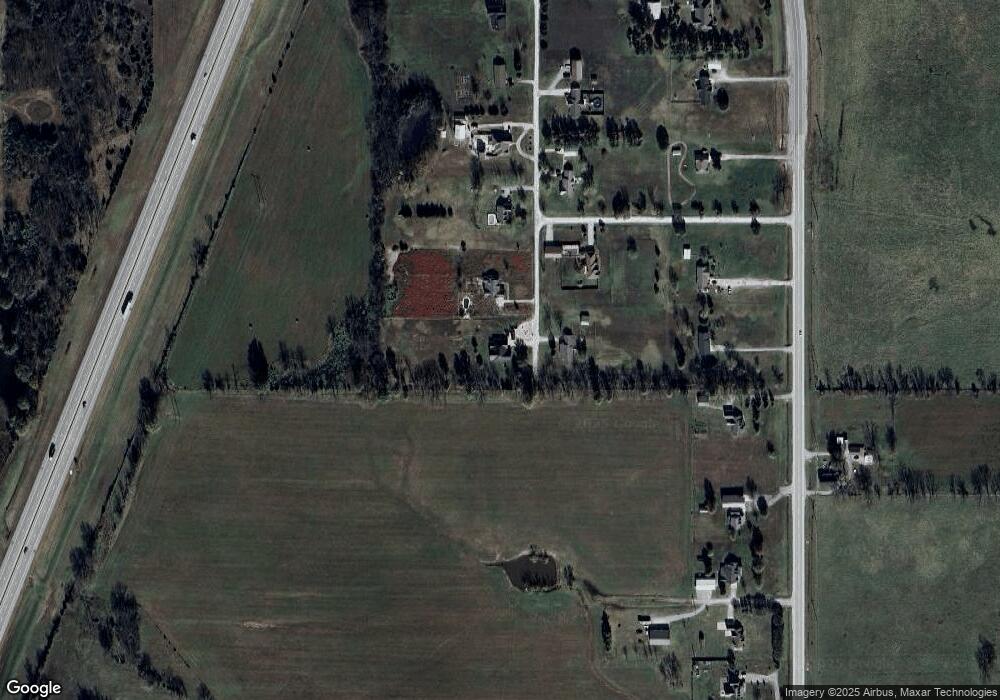
Map
Nearby Homes
- 57040 E 131 Rd
- 805 23rd Ave SW
- 404 16th Place SW
- 2325 J St SW
- TBD E 140 Rd
- 0 24th Ave SW
- TBD 24th Ave SW
- 1025 22nd Ave SW
- 1425 E St SW
- 2216 M St SW
- 2110 M St SW
- 11631 S 587 Rd
- 11703 S 587 Rd
- 2027 P St SW
- 2122 P St SW
- 712 C St SE
- 14502 S Spangler Dr
- 616 D St SE
- 0 E 130 Rd Unit 22-974
- 900 E Steve Owens Blvd
- 12421 S 569 Rd
- 12302 S 569 Rd
- 56987 E 124 Rd
- 12401 S 569 Rd
- 12308 S 569 Rd
- 12471 S Hwy 125
- 12321 S 569 Rd
- 12431 S Highway 125
- 12531 S Highway 125
- 0 S 569 Rd
- 12295 S 569 Rd
- 12751 S Hwy 125
- 12751 S Highway 125
- 56996 E 126 Rd
- 12291 S Highway 125
- 12265 S 569 Rd
- 12500 S Highway 125
- 56997 E 126 Rd
- 12470 S 569 Rd
- 12261 S Highway 125