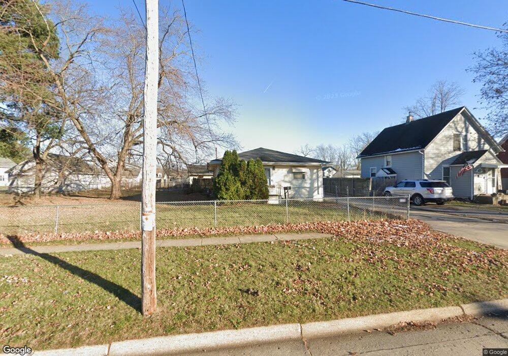
1247 Moore St Beloit, WI 53511
Estimated Value: $173,000 - $179,000
3
Beds
1
Bath
1,040
Sq Ft
$169/Sq Ft
Est. Value
About This Home
This home is located at 1247 Moore St, Beloit, WI 53511 and is currently estimated at $176,227, approximately $169 per square foot. 1247 Moore St is a home located in Rock County with nearby schools including Converse Elementary School, McNeel Middle School, and Memorial High School.
Ownership History
Date
Name
Owned For
Owner Type
Purchase Details
Closed on
Aug 20, 2024
Sold by
Walters Earl L
Bought by
Stephenson Chris and Stephenson Teresa
Current Estimated Value
Home Financials for this Owner
Home Financials are based on the most recent Mortgage that was taken out on this home.
Original Mortgage
$9,372
Interest Rate
1.7%
Mortgage Type
New Conventional
Create a Home Valuation Report for This Property
The Home Valuation Report is an in-depth analysis detailing your home's value as well as a comparison with similar homes in the area
Home Values in the Area
Average Home Value in this Area
Purchase History
| Date | Buyer | Sale Price | Title Company |
|---|---|---|---|
| Stephenson Chris | $156,200 | None Listed On Document |
Source: Public Records
Mortgage History
| Date | Status | Borrower | Loan Amount |
|---|---|---|---|
| Closed | Stephenson Chris | $9,372 | |
| Open | Stephenson Chris | $127,450 |
Source: Public Records
Tax History
| Year | Tax Paid | Tax Assessment Tax Assessment Total Assessment is a certain percentage of the fair market value that is determined by local assessors to be the total taxable value of land and additions on the property. | Land | Improvement |
|---|---|---|---|---|
| 2025 | $2,478 | $159,600 | $25,500 | $134,100 |
| 2024 | $1,739 | $147,900 | $25,500 | $122,400 |
| 2023 | $1,842 | $125,200 | $25,500 | $99,700 |
| 2022 | $2,321 | $125,200 | $25,500 | $99,700 |
| 2021 | $2,582 | $89,200 | $20,700 | $68,500 |
| 2020 | $2,415 | $89,200 | $20,700 | $68,500 |
| 2019 | $2,282 | $89,200 | $20,700 | $68,500 |
| 2018 | $2,309 | $89,200 | $20,700 | $68,500 |
| 2017 | $2,367 | $89,200 | $20,700 | $68,500 |
| 2016 | $2,224 | $89,200 | $20,700 | $68,500 |
| 2015 | $2,372 | $89,200 | $20,700 | $68,500 |
| 2014 | $2,228 | $89,200 | $20,700 | $68,500 |
| 2013 | $2,228 | $89,200 | $20,700 | $68,500 |
Source: Public Records
Map
Nearby Homes
Your Personal Tour Guide
Ask me questions while you tour the home.