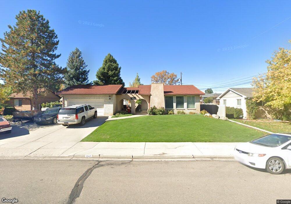
1247 N 1220 W Provo, UT 84604
Grandview South NeighborhoodEstimated Value: $511,000 - $573,000
5
Beds
3
Baths
2,554
Sq Ft
$213/Sq Ft
Est. Value
About This Home
This home is located at 1247 N 1220 W, Provo, UT 84604 and is currently estimated at $542,743, approximately $212 per square foot. 1247 N 1220 W is a home located in Utah County with nearby schools including Westridge Elementary School, Dixon Middle School, and Provo High School.
Ownership History
Date
Name
Owned For
Owner Type
Purchase Details
Closed on
Feb 22, 2013
Sold by
Bale James L and Bale Emily A
Bought by
Baker Jacob G and Baker Amanda J
Current Estimated Value
Home Financials for this Owner
Home Financials are based on the most recent Mortgage that was taken out on this home.
Original Mortgage
$182,631
Outstanding Balance
$128,902
Interest Rate
3.62%
Mortgage Type
FHA
Estimated Equity
$413,841
Purchase Details
Closed on
Mar 26, 2010
Sold by
Hafen Donald N and Hafen Lela A
Bought by
Bale James L and Bale Emily A
Home Financials for this Owner
Home Financials are based on the most recent Mortgage that was taken out on this home.
Original Mortgage
$211,105
Interest Rate
5.5%
Mortgage Type
FHA
Purchase Details
Closed on
Sep 27, 1996
Sold by
Hafen Donald N and Hafen Lela A
Bought by
Hafen Donald N and Hafen Lela A
Purchase Details
Closed on
Sep 10, 1996
Sold by
Hafen Donald N and Hafen Lela A
Bought by
Hafen Donald N and Hafen Lela A
Create a Home Valuation Report for This Property
The Home Valuation Report is an in-depth analysis detailing your home's value as well as a comparison with similar homes in the area
Home Values in the Area
Average Home Value in this Area
Purchase History
| Date | Buyer | Sale Price | Title Company |
|---|---|---|---|
| Baker Jacob G | -- | Gt Title Services | |
| Bale James L | -- | United West Title | |
| Hafen Donald N | -- | -- | |
| Hafen Donald N | -- | -- |
Source: Public Records
Mortgage History
| Date | Status | Borrower | Loan Amount |
|---|---|---|---|
| Open | Baker Jacob G | $182,631 | |
| Previous Owner | Bale James L | $211,105 |
Source: Public Records
Tax History Compared to Growth
Tax History
| Year | Tax Paid | Tax Assessment Tax Assessment Total Assessment is a certain percentage of the fair market value that is determined by local assessors to be the total taxable value of land and additions on the property. | Land | Improvement |
|---|---|---|---|---|
| 2025 | $2,461 | $269,775 | $173,400 | $317,100 |
| 2024 | $2,461 | $242,275 | $0 | $0 |
| 2023 | $2,450 | $237,765 | $0 | $0 |
| 2022 | $2,672 | $261,415 | $0 | $0 |
| 2021 | $2,059 | $351,400 | $110,000 | $241,400 |
| 2020 | $1,985 | $317,500 | $100,000 | $217,500 |
| 2019 | $1,844 | $306,800 | $100,000 | $206,800 |
| 2018 | $1,616 | $272,600 | $92,800 | $179,800 |
| 2017 | $1,416 | $131,285 | $0 | $0 |
| 2016 | $1,441 | $124,520 | $0 | $0 |
| 2015 | $1,426 | $124,520 | $0 | $0 |
| 2014 | $1,224 | $111,485 | $0 | $0 |
Source: Public Records
Map
Nearby Homes
- 1188 W 1380 N
- 1375 W 1460 N
- 1250 Jordan Ave
- 1430 N 1160 W
- 1471 W 1460 N
- 1525 N 1250 W
- 1620 W 1000 N
- 1149 N 850 W
- 1254 N 800 W
- 920 W Columbia Ln
- 1451 Arthur Dr
- 1633 Woodland Dr
- 932 N 1760 W
- 1685 Hickory Ln
- 1763 Willowbrook Dr Unit 4D1
- 1661 Willowbrook Dr
- 630 N 1100 W
- 927 Independence Ave
- 1503 N 1980 W
- 1215 W 580 N