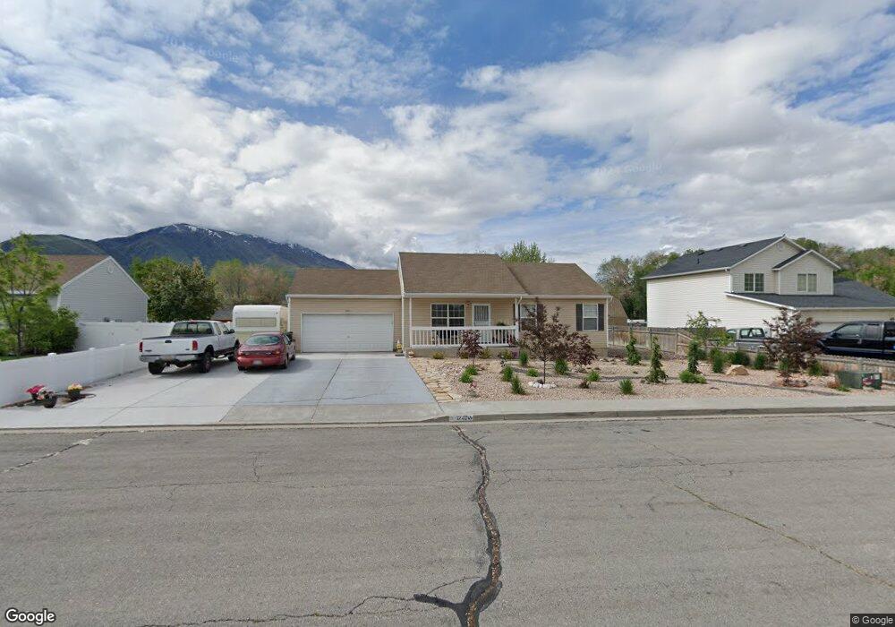
1247 W 1050 S Payson, UT 84651
Estimated Value: $442,221 - $529,000
3
Beds
2
Baths
1,102
Sq Ft
$435/Sq Ft
Est. Value
About This Home
This home is located at 1247 W 1050 S, Payson, UT 84651 and is currently estimated at $479,555, approximately $435 per square foot. 1247 W 1050 S is a home located in Utah County with nearby schools including Wilson Elementary School, Mt. Nebo Junior High School, and Mt. Nebo Middle.
Ownership History
Date
Name
Owned For
Owner Type
Purchase Details
Closed on
Apr 21, 2016
Sold by
Mitchell Jesse D and Mitchell Marie D
Bought by
Mitchell Jesse David and Mitchell Marie D
Current Estimated Value
Purchase Details
Closed on
May 23, 2003
Sold by
Mitchell Jesse D
Bought by
Mitchell Jesse D and Mitchell Marie D
Purchase Details
Closed on
May 5, 1999
Sold by
Americraft Homes Inc
Bought by
Mitchell Jesse D
Home Financials for this Owner
Home Financials are based on the most recent Mortgage that was taken out on this home.
Original Mortgage
$130,923
Outstanding Balance
$33,604
Interest Rate
6.96%
Estimated Equity
$445,951
Purchase Details
Closed on
Feb 12, 1999
Sold by
Hiatt Ray
Bought by
Americraft Homes Inc
Home Financials for this Owner
Home Financials are based on the most recent Mortgage that was taken out on this home.
Original Mortgage
$105,400
Interest Rate
6.79%
Mortgage Type
Construction
Create a Home Valuation Report for This Property
The Home Valuation Report is an in-depth analysis detailing your home's value as well as a comparison with similar homes in the area
Home Values in the Area
Average Home Value in this Area
Purchase History
| Date | Buyer | Sale Price | Title Company |
|---|---|---|---|
| Mitchell Jesse David | -- | None Available | |
| Mitchell Jesse D | -- | Provo Land Title Company | |
| Mitchell Jesse D | -- | Pro Title & Escrow Inc | |
| Americraft Homes Inc | -- | Pro Title & Escrow Inc |
Source: Public Records
Mortgage History
| Date | Status | Borrower | Loan Amount |
|---|---|---|---|
| Open | Mitchell Jesse D | $130,923 | |
| Previous Owner | Americraft Homes Inc | $105,400 |
Source: Public Records
Tax History Compared to Growth
Tax History
| Year | Tax Paid | Tax Assessment Tax Assessment Total Assessment is a certain percentage of the fair market value that is determined by local assessors to be the total taxable value of land and additions on the property. | Land | Improvement |
|---|---|---|---|---|
| 2025 | $2,151 | $232,100 | $158,000 | $264,000 |
| 2024 | $2,151 | $218,955 | $0 | $0 |
| 2023 | $2,165 | $220,935 | $0 | $0 |
| 2022 | $2,163 | $217,085 | $0 | $0 |
| 2021 | $1,818 | $292,700 | $103,700 | $189,000 |
| 2020 | $1,697 | $267,200 | $90,200 | $177,000 |
| 2019 | $1,512 | $244,100 | $90,200 | $153,900 |
| 2018 | $1,344 | $209,200 | $70,000 | $139,200 |
| 2017 | $1,252 | $104,775 | $0 | $0 |
| 2016 | $1,175 | $97,680 | $0 | $0 |
| 2015 | $1,141 | $94,215 | $0 | $0 |
| 2014 | $1,059 | $88,055 | $0 | $0 |
Source: Public Records
Map
Nearby Homes
- 1192 W 1130 St S Unit 202
- 1128 W 1150 S Unit 9
- 1216 S 1150 W Unit 19
- 1287 S 1080 W
- 1338 S 1150 W
- 1172 S 880 W
- 2200 W 1130 St S
- 9022 S 4400 W
- 1002 W Temple Rim Ln
- 1045 S 1700 W Unit 1533
- 1045 S 1700 W Unit 710
- 1045 S 1700 W Unit 311
- 1045 S 1700 W Unit 133
- 1045 S 1700 W Unit 832
- 1045 S 1700 W Unit 1010
- 1546 W 800 S
- 1704 W 1160 S
- 1716 W 1210 S
- 1163 S 730 W
- 1208 S 1740 W
- 1297 S 1050 W
- 1225 W 1050 S
- 1257 W 1050 S
- 1234 W 1130 S Unit 102
- 1226 W 1130 S Unit 103
- 1222 W 1130 S Unit 104
- 1208 W 1130 St S
- 1208 W 1130 St S Unit 102
- 1248 W 1130 S Unit 101
- 1277 W 1050 S
- 1236 W 1050 S
- 1289 W 1050 S
- 1198 W 1130 St S Unit 201
- 1299 W 1050 S
- 1216 W 1050 S
- 1256 W 1050 S
- 1184 W 1130 St S Unit 203
- 1060 Turf Farm Rd Unit 3
- 1060 Turf Farm Rd Unit 2
- 1060 Turf Farm Rd Unit 1