12470 Mohart Hwy Britton, MI 49229
Estimated Value: $341,097 - $411,000
3
Beds
2
Baths
1,422
Sq Ft
$260/Sq Ft
Est. Value
About This Home
This home is located at 12470 Mohart Hwy, Britton, MI 49229 and is currently estimated at $369,699, approximately $259 per square foot. 12470 Mohart Hwy is a home located in Lenawee County with nearby schools including Britton-Macon Area School.
Ownership History
Date
Name
Owned For
Owner Type
Purchase Details
Closed on
Oct 9, 2012
Sold by
Snook Michael Stephen
Bought by
Snook Kristine Reeser
Current Estimated Value
Home Financials for this Owner
Home Financials are based on the most recent Mortgage that was taken out on this home.
Original Mortgage
$133,700
Interest Rate
3.37%
Mortgage Type
New Conventional
Purchase Details
Closed on
Mar 29, 2004
Bought by
Snook Kristine Reeser
Create a Home Valuation Report for This Property
The Home Valuation Report is an in-depth analysis detailing your home's value as well as a comparison with similar homes in the area
Home Values in the Area
Average Home Value in this Area
Purchase History
| Date | Buyer | Sale Price | Title Company |
|---|---|---|---|
| Snook Kristine Reeser | -- | None Available | |
| Snook Kristine Reeser | -- | -- |
Source: Public Records
Mortgage History
| Date | Status | Borrower | Loan Amount |
|---|---|---|---|
| Previous Owner | Snook Kristine Reeser | $133,700 |
Source: Public Records
Tax History Compared to Growth
Tax History
| Year | Tax Paid | Tax Assessment Tax Assessment Total Assessment is a certain percentage of the fair market value that is determined by local assessors to be the total taxable value of land and additions on the property. | Land | Improvement |
|---|---|---|---|---|
| 2025 | $3,196 | $158,800 | $0 | $0 |
| 2024 | $1,316 | $151,400 | $0 | $0 |
| 2022 | $1,156 | $125,500 | $0 | $0 |
| 2021 | $2,833 | $114,700 | $0 | $0 |
| 2020 | $2,679 | $109,600 | $0 | $0 |
| 2019 | $255,165 | $108,800 | $0 | $0 |
| 2018 | $2,629 | $108,798 | $0 | $0 |
| 2017 | $2,448 | $101,929 | $0 | $0 |
| 2016 | $2,224 | $94,976 | $0 | $0 |
| 2014 | -- | $89,507 | $0 | $0 |
Source: Public Records
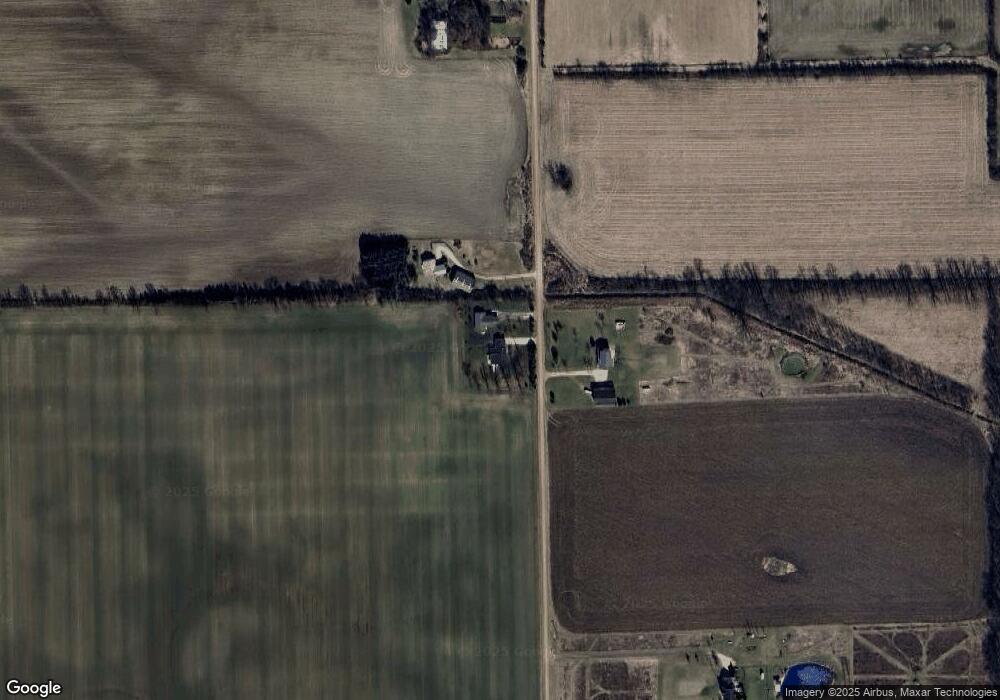
Map
Nearby Homes
- 13187 Macon Rd
- 1606 Mooreville Rd
- 18200 Sherman Rd
- 0 W Braun Rd Unit 25009478
- 10678 Valley View Dr
- 9626 Valley View Ct
- 10649 Valley View Dr
- 10643 Valley View Dr
- 9608 Valley View Dr
- 5665 Braun Rd
- 10631 Valley View Dr
- 10619 Valley View Dr
- 10612 Valley View Dr
- 10618 Valley View Dr
- 10298 High Meadow
- 3679 Tamerry Ct
- 3300 Oak Park Dr
- 10196 Meadowmere Place
- 10603 Milwaukee Rd
- 675 Mooreville Rd
- 12455 Mohart Hwy
- 12500 Mohart Hwy
- 12375 Mohart Hwy
- 11846 Clinton MacOn Rd
- 12165 Mohart Hwy
- 12050 Mohart Hwy
- 11707 Clinton MacOn Rd
- 12101 Mohart Hwy
- 12680 Mohart Hwy
- 11000 Mohart Hwy
- 11640 Clinton MacOn Rd
- 12015 Ridge Hwy
- 12025 Ridge Hwy
- 12075 Ridge Hwy
- 12034 Ridge Hwy
- 12135 Ridge Hwy
- 12000 Ridge Hwy Unit BLK
- 12000 Ridge Hwy Unit BLK
- 12000 Ridge Hwy Unit BLK
- 12000 Ridge Hwy Unit BLK