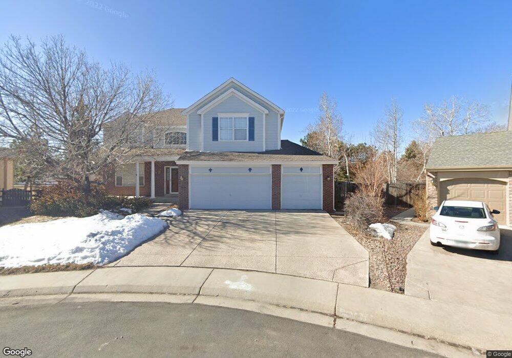
12471 Jason Ct Denver, CO 80234
Home Farm NeighborhoodEstimated Value: $776,033 - $856,000
3
Beds
3
Baths
2,786
Sq Ft
$296/Sq Ft
Est. Value
About This Home
This home is located at 12471 Jason Ct, Denver, CO 80234 and is currently estimated at $824,758, approximately $296 per square foot. 12471 Jason Ct is a home located in Adams County with nearby schools including Arapahoe Ridge Elementary School, Silver Hills Middle School, and Mountain Range High School.
Ownership History
Date
Name
Owned For
Owner Type
Purchase Details
Closed on
Aug 5, 2015
Sold by
Smith Carleton A and Smith Anna S
Bought by
Smith Carleton A
Current Estimated Value
Home Financials for this Owner
Home Financials are based on the most recent Mortgage that was taken out on this home.
Original Mortgage
$348,000
Outstanding Balance
$272,014
Interest Rate
3.85%
Mortgage Type
New Conventional
Estimated Equity
$552,744
Purchase Details
Closed on
Apr 26, 2004
Sold by
Smith Carleton A
Bought by
Smith Carleton A and Smith Anna M
Purchase Details
Closed on
Jul 24, 1995
Sold by
Colorado North Company Llc
Bought by
Fickes Boyd S and Fickes Patricia L
Home Financials for this Owner
Home Financials are based on the most recent Mortgage that was taken out on this home.
Original Mortgage
$150,000
Interest Rate
7.49%
Create a Home Valuation Report for This Property
The Home Valuation Report is an in-depth analysis detailing your home's value as well as a comparison with similar homes in the area
Home Values in the Area
Average Home Value in this Area
Purchase History
| Date | Buyer | Sale Price | Title Company |
|---|---|---|---|
| Smith Carleton A | -- | Title Source Inc | |
| Smith Carleton A | -- | -- | |
| Fickes Boyd S | $234,633 | -- |
Source: Public Records
Mortgage History
| Date | Status | Borrower | Loan Amount |
|---|---|---|---|
| Open | Smith Carleton A | $348,000 | |
| Previous Owner | Fickes Boyd S | $150,000 |
Source: Public Records
Tax History Compared to Growth
Tax History
| Year | Tax Paid | Tax Assessment Tax Assessment Total Assessment is a certain percentage of the fair market value that is determined by local assessors to be the total taxable value of land and additions on the property. | Land | Improvement |
|---|---|---|---|---|
| 2024 | $5,222 | $50,190 | $9,000 | $41,190 |
| 2023 | $5,166 | $56,760 | $9,740 | $47,020 |
| 2022 | $4,387 | $41,740 | $10,010 | $31,730 |
| 2021 | $4,531 | $41,740 | $10,010 | $31,730 |
| 2020 | $4,261 | $40,030 | $10,300 | $29,730 |
| 2019 | $4,269 | $40,030 | $10,300 | $29,730 |
| 2018 | $3,914 | $35,500 | $7,200 | $28,300 |
| 2017 | $3,531 | $35,500 | $7,200 | $28,300 |
| 2016 | $3,546 | $34,560 | $6,770 | $27,790 |
| 2015 | $3,541 | $34,560 | $6,770 | $27,790 |
| 2014 | $3,387 | $32,030 | $5,890 | $26,140 |
Source: Public Records
Map
Nearby Homes
- 12671 Home Farm Ln
- 12705 Kalamath Ct
- 12705 Home Farm Dr
- 12173 Melody Dr Unit 303
- 12151 Melody Dr Unit 202
- 834 W 128th Place
- 920 W 128th Place
- 12141 Melody Dr Unit 302
- 930 W 128th Place
- 12166 Melody Dr Unit 202
- 851 W 128th Place
- 811 W 128th Place
- 931 W 128th Place
- 12172 Melody Dr Unit 302
- 12186 Melody Dr Unit 104
- 935 W 128th Place
- 975 W 128th Place
- 12174 Melody Dr Unit 303
- 12143 Melody Dr Unit 103
- 12133 Melody Dr Unit 204
- 12481 Jason Ct
- 12480 Jason Ct
- 12490 Jason Ct
- 12484 Kalamath Ct
- 12491 Jason Ct
- 933 West Dr
- 12494 Kalamath Ct
- 12474 Kalamath Ct
- 903 W 124th Dr
- 923 W 124th Dr
- 943 W 124th Dr
- 864 W 124th Dr
- 883 W 124th Dr
- 12485 Kalamath Ct
- 953 W 124th Dr
- 863 W 124th Dr
- 910 Home Farm Cir
- 12495 Kalamath Ct
- 12539 Jason Ct
- 973 W 124th Dr