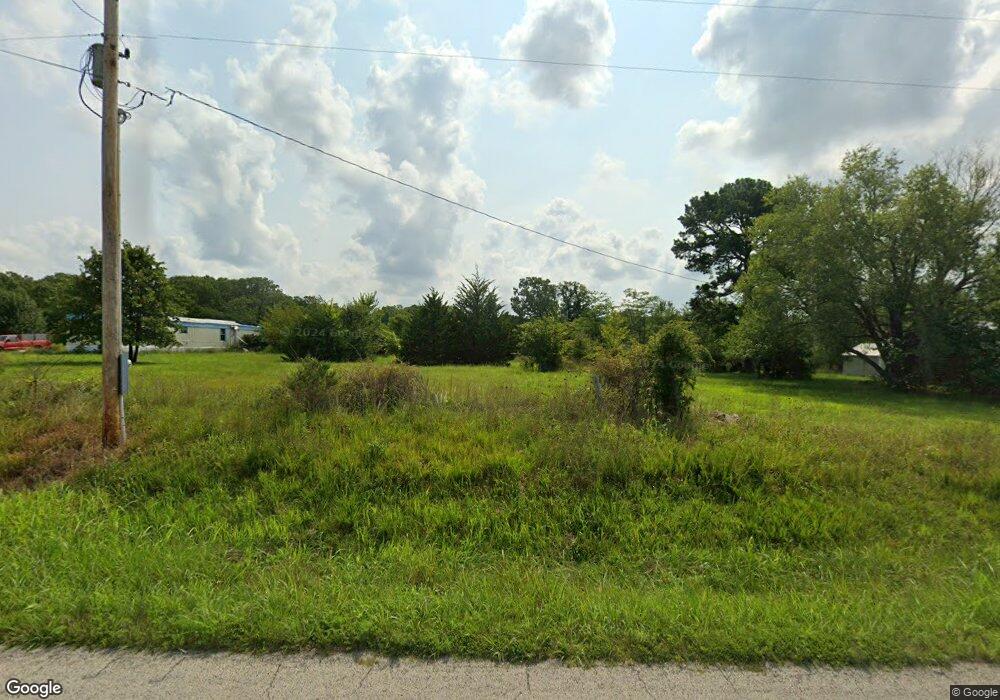
12474 State Route Ff Caulfield, MO 65626
Estimated Value: $82,375 - $354,000
--
Bed
--
Bath
1,360
Sq Ft
$190/Sq Ft
Est. Value
About This Home
This home is located at 12474 State Route Ff, Caulfield, MO 65626 and is currently estimated at $258,125, approximately $189 per square foot. 12474 State Route Ff is a home with nearby schools including West Plains Senior High School.
Ownership History
Date
Name
Owned For
Owner Type
Purchase Details
Closed on
May 30, 2025
Sold by
Price John Thomas and Price Linda
Bought by
Kaufman Jordan and Kaufman Katie
Current Estimated Value
Purchase Details
Closed on
Jun 8, 2006
Sold by
Harris Ron M and Harris Doris J
Bought by
Price John Thomas and Price Elizabeth Mary
Home Financials for this Owner
Home Financials are based on the most recent Mortgage that was taken out on this home.
Original Mortgage
$93,589
Interest Rate
6.62%
Mortgage Type
VA
Create a Home Valuation Report for This Property
The Home Valuation Report is an in-depth analysis detailing your home's value as well as a comparison with similar homes in the area
Home Values in the Area
Average Home Value in this Area
Purchase History
| Date | Buyer | Sale Price | Title Company |
|---|---|---|---|
| Kaufman Jordan | -- | Wiles Abstract & Title | |
| Price John Thomas | -- | Wiles Abstract & Title |
Source: Public Records
Mortgage History
| Date | Status | Borrower | Loan Amount |
|---|---|---|---|
| Previous Owner | Price John Thomas | $93,589 |
Source: Public Records
Tax History Compared to Growth
Tax History
| Year | Tax Paid | Tax Assessment Tax Assessment Total Assessment is a certain percentage of the fair market value that is determined by local assessors to be the total taxable value of land and additions on the property. | Land | Improvement |
|---|---|---|---|---|
| 2025 | $357 | $9,690 | $5,250 | $4,440 |
| 2024 | $355 | $8,650 | -- | -- |
| 2023 | $355 | $8,650 | $0 | $0 |
| 2022 | $760 | $18,540 | $0 | $0 |
| 2021 | $719 | $18,540 | $0 | $0 |
| 2020 | $719 | $17,140 | $0 | $0 |
| 2019 | $658 | $15,040 | $0 | $0 |
| 2018 | $633 | $14,470 | $0 | $0 |
| 2017 | $631 | $14,470 | $0 | $0 |
| 2015 | -- | $13,560 | $0 | $0 |
| 2014 | -- | $13,560 | $0 | $0 |
| 2013 | -- | $13,560 | $0 | $0 |
Source: Public Records
Map
Nearby Homes
- 2158 Private Road 7380
- 12450 County Road 6810
- 5021 Private Rd
- 000 State Highway Ff
- 000 Us Highway 160 W
- 000 State Route Oo
- 1620 U S 160
- 000 County Road 7400
- 1283 County Road 7320
- 1283 Co Rd 7320
- 13921 County Road 6910
- 3331 Us Highway 160
- 3503 County Road 7640
- 3503 Co Rd 7640 (40 Acre Tract)
- 11408 County Road 6710
- 1839 County Road 7080
- 3493 U S 160
- 000 State Route Mm
- 4150 County Road 7480
- 12042 Cr 7690
- 12418 State Route Ff
- 12414 State Route Ff
- 12410 State Route Ff
- 12415 State Route Ff
- 12405 State Route Ff
- 2530 County Road 7360
- 2626 County Road 7360
- 2681 County Road 7360
- 2680 County Road 7360
- 2525 County Road 7360
- 12575 State Route Ff
- 12290 State Route Ff
- 12251 State Route Ff
- 2098 Private Road 7380
- 2030 Private Road 7380
- 12718 State Route Ff
- 12256 State Route Ff
- 12282 State Route Ff
- 12685 State Route Ff
- 2428 County Road 7320
