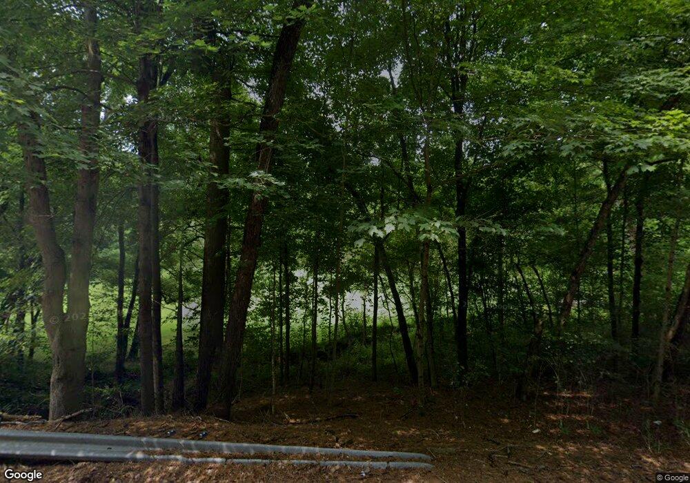
12475 State Route 691 Nelsonville, OH 45764
Estimated Value: $147,033 - $218,000
3
Beds
1
Bath
1,380
Sq Ft
$134/Sq Ft
Est. Value
About This Home
This home is located at 12475 State Route 691, Nelsonville, OH 45764 and is currently estimated at $185,508, approximately $134 per square foot. 12475 State Route 691 is a home located in Athens County with nearby schools including Nelsonville-York Elementary School, Nelsonville-York Junior High School, and Nelsonville-York High School.
Ownership History
Date
Name
Owned For
Owner Type
Purchase Details
Closed on
May 19, 2023
Sold by
Ralph S Davis And F Ellen Davis Living T
Bought by
Pleasantview Properties Of Nelsonville L
Current Estimated Value
Home Financials for this Owner
Home Financials are based on the most recent Mortgage that was taken out on this home.
Original Mortgage
$70,000
Outstanding Balance
$62,630
Interest Rate
5.71%
Mortgage Type
New Conventional
Estimated Equity
$122,878
Purchase Details
Closed on
Dec 22, 1997
Sold by
Davis Ralph S and Davis Ellen
Bought by
Davis Ralph S Trustees
Create a Home Valuation Report for This Property
The Home Valuation Report is an in-depth analysis detailing your home's value as well as a comparison with similar homes in the area
Home Values in the Area
Average Home Value in this Area
Purchase History
| Date | Buyer | Sale Price | Title Company |
|---|---|---|---|
| Pleasantview Properties Of Nelsonville L | $427,000 | Northwest Title | |
| Davis Ralph S Trustees | -- | -- |
Source: Public Records
Mortgage History
| Date | Status | Borrower | Loan Amount |
|---|---|---|---|
| Open | Pleasantview Properties Of Nelsonville L | $70,000 |
Source: Public Records
Tax History Compared to Growth
Tax History
| Year | Tax Paid | Tax Assessment Tax Assessment Total Assessment is a certain percentage of the fair market value that is determined by local assessors to be the total taxable value of land and additions on the property. | Land | Improvement |
|---|---|---|---|---|
| 2024 | $1,476 | $32,650 | $12,450 | $20,200 |
| 2023 | $1,451 | $32,650 | $12,450 | $20,200 |
| 2022 | $1,241 | $26,560 | $10,370 | $16,190 |
| 2021 | $1,245 | $26,560 | $10,370 | $16,190 |
| 2020 | $1,175 | $26,560 | $10,370 | $16,190 |
| 2019 | $1,104 | $23,380 | $8,440 | $14,940 |
| 2018 | $1,108 | $23,380 | $8,440 | $14,940 |
| 2017 | $1,543 | $23,380 | $8,440 | $14,940 |
| 2016 | $1,077 | $21,570 | $7,670 | $13,900 |
| 2015 | $1,424 | $21,570 | $7,670 | $13,900 |
| 2014 | $1,424 | $21,570 | $7,670 | $13,900 |
| 2013 | $1,306 | $20,820 | $7,320 | $13,500 |
Source: Public Records
Map
Nearby Homes
- 11685 State Route 691
- 6559 Poston Rd
- 12981 Spice Lick Rd
- 0 Lemaster Rd
- 0 Lemaster Rd Unit 23368524
- 0 Lemaster Rd Unit 11486521
- 10775 Rosewood Ln
- 5910 Vore Ridge Rd
- 11250 Grass Run Rd
- 4624 Rhoric Rd
- 14946 Ohio 691
- 0 Salem Rd
- 11676 Channingway Blvd
- 90 Main St
- 0 Shady Ln
- 27 North St
- 57 Ohio Ave
- 5 Oak St
- 12819 Upper River
- 7 W 2nd St
- 12425 State Route 691
- 12405 State Route 691
- 12470 State Route 691
- 12383 & 12401 St Rt 691
- 12606 Ohio 691
- 12383 State Route 691
- 12383 Oh-691 Unit B
- 12353 State Route 691
- 12372 State Route 691
- 12666 State Route 691
- 12666 Ohio 691
- 12319 State Route 691
- 12274 State Route 691
- SR691 Highway
- 12267 State Route 691
- 5270 Poston Rd
- 4550 Perry Ridge
- 11919 State Route 691
- 12776 State Route 691
- 11945 State Route 691
