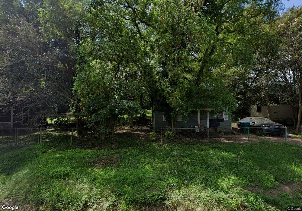
12477 Maple St Port Allen, LA 70767
West Baton Rouge Parish NeighborhoodEstimated Value: $64,687 - $117,000
--
Bed
--
Bath
580
Sq Ft
$171/Sq Ft
Est. Value
About This Home
This home is located at 12477 Maple St, Port Allen, LA 70767 and is currently estimated at $99,229, approximately $171 per square foot. 12477 Maple St is a home located in West Baton Rouge Parish with nearby schools including Caneview K-8 School, Chamberlin Elementary School, and Devall Middle School.
Ownership History
Date
Name
Owned For
Owner Type
Purchase Details
Closed on
May 28, 2025
Sold by
Foreman James M and Foreman Eloise Graves
Bought by
Community Property Investments Llc
Current Estimated Value
Purchase Details
Closed on
Mar 10, 2007
Sold by
Hudson Francis Mae
Bought by
Foreman James M and Foreman Eloise Graves
Create a Home Valuation Report for This Property
The Home Valuation Report is an in-depth analysis detailing your home's value as well as a comparison with similar homes in the area
Home Values in the Area
Average Home Value in this Area
Purchase History
| Date | Buyer | Sale Price | Title Company |
|---|---|---|---|
| Community Property Investments Llc | $70,000 | Cypress Title | |
| Community Property Investments Llc | $70,000 | Cypress Title | |
| Foreman James M | $12,000 | None Available |
Source: Public Records
Tax History Compared to Growth
Tax History
| Year | Tax Paid | Tax Assessment Tax Assessment Total Assessment is a certain percentage of the fair market value that is determined by local assessors to be the total taxable value of land and additions on the property. | Land | Improvement |
|---|---|---|---|---|
| 2024 | $530 | $5,470 | $4,370 | $1,100 |
| 2023 | $539 | $5,190 | $4,060 | $1,130 |
| 2022 | $544 | $5,190 | $4,060 | $1,130 |
| 2021 | $557 | $5,190 | $4,060 | $1,130 |
| 2020 | $506 | $4,070 | $3,650 | $420 |
| 2019 | $875 | $4,020 | $2,510 | $1,510 |
| 2018 | $891 | $4,020 | $2,510 | $1,510 |
| 2017 | $823 | $4,020 | $2,510 | $1,510 |
| 2015 | $656 | $7,640 | $2,390 | $5,250 |
| 2014 | $646 | $7,640 | $2,390 | $5,250 |
| 2013 | $646 | $7,640 | $2,390 | $5,250 |
Source: Public Records
Map
Nearby Homes
- 1053 Poydras Bayou Rd
- 841 Poydras Bayou Rd
- 11837 E Subdivision Rd
- TBD E Subdivision Rd
- TBD E Subdivision Rd
- 5632 Horner Rd
- 5252 Elm Grove Rd
- TBD Highway 190
- 12408 Lorio Dairy Rd
- 10082 Swanson Ln
- 6255 Rougon Rd
- 6229 Rougon Rd
- 3638 Oakland Rd Unit 6
- 1093 Poydras Bayou Dr
- 1096 Wilkinson Ln
- 9765 Skynet Ln
- 9766 Skynet Ln
- 11628 Rosedale Rd
- 8856 Singleton Rd
- 8958 Singleton Rd
- 12457 Maple St
- 12436 Balis St
- 4613 Coffield St
- 12447 Maple St
- 4326 Coffield St
- 12437 Maple St
- 0 Coffield St
- 12464 Patricia Ave
- 12522 Balis St
- 12456 Maple St
- 12486 Maple St
- 12476 Maple St
- 4433 Coffield St
- 12496 Maple St
- 12513 Balis St
- 12429 Maple St
- 12458 Maple St
- 12518 Maple St
- 4316 Coffield St
- 12425 Maple St