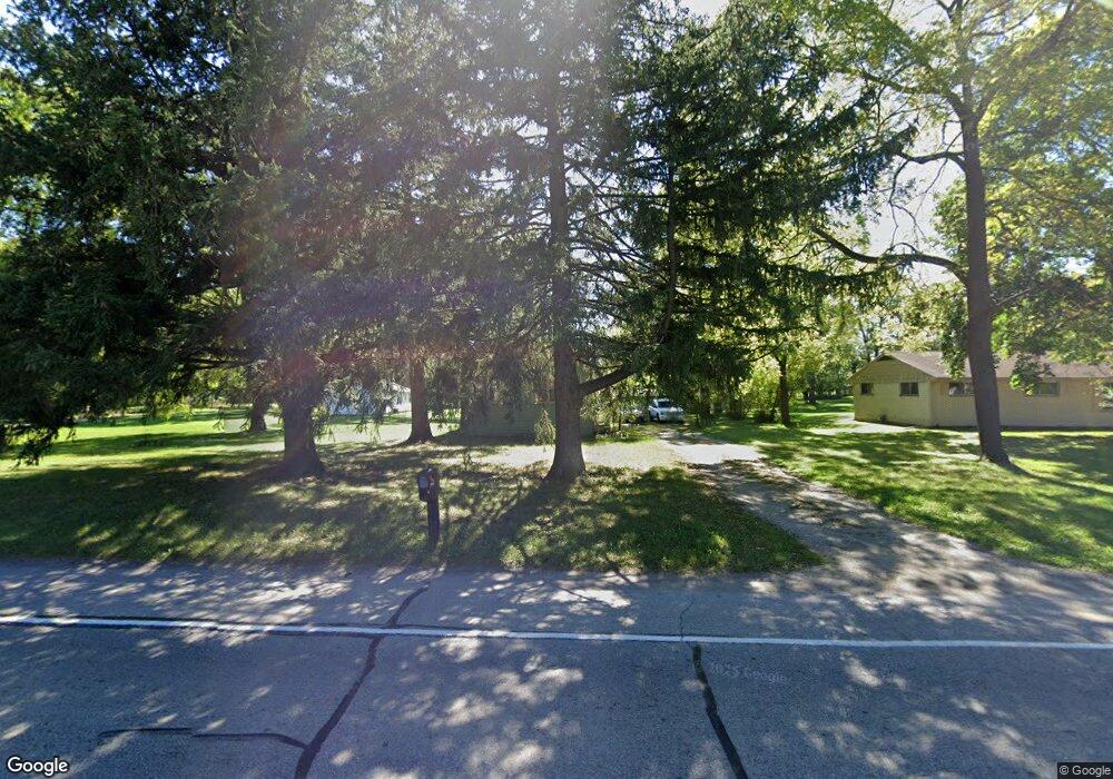
1248 E State Rd Lansing, MI 48906
Estimated Value: $100,000 - $169,000
1
Bed
1
Bath
770
Sq Ft
$159/Sq Ft
Est. Value
About This Home
This home is located at 1248 E State Rd, Lansing, MI 48906 and is currently estimated at $122,380, approximately $158 per square foot. 1248 E State Rd is a home located in Clinton County with nearby schools including Gier Park School, Pattengill Academy, and Eastern High School.
Ownership History
Date
Name
Owned For
Owner Type
Purchase Details
Closed on
May 13, 2013
Sold by
Virtue Richard and Virtue Lori J
Bought by
Fellows Donald J
Current Estimated Value
Purchase Details
Closed on
Jun 3, 2008
Sold by
Mortgage Electronic Registration Systems
Bought by
Deutsche Bank National Trust Co and Harborview Mortgage Loan Trust 2006-5
Purchase Details
Closed on
May 1, 2008
Sold by
Hasbany Louise B and Hasbany John
Bought by
Mortgage Electronic Registration Systems
Create a Home Valuation Report for This Property
The Home Valuation Report is an in-depth analysis detailing your home's value as well as a comparison with similar homes in the area
Home Values in the Area
Average Home Value in this Area
Purchase History
| Date | Buyer | Sale Price | Title Company |
|---|---|---|---|
| Fellows Donald J | $15,000 | None Available | |
| Deutsche Bank National Trust Co | -- | None Available | |
| Mortgage Electronic Registration Systems | $41,600 | None Available |
Source: Public Records
Tax History
| Year | Tax Paid | Tax Assessment Tax Assessment Total Assessment is a certain percentage of the fair market value that is determined by local assessors to be the total taxable value of land and additions on the property. | Land | Improvement |
|---|---|---|---|---|
| 2025 | $764 | $39,900 | $22,700 | $17,200 |
| 2024 | $5 | $37,000 | $21,300 | $15,700 |
| 2023 | $478 | $34,400 | $0 | $0 |
| 2022 | $692 | $30,700 | $18,900 | $11,800 |
| 2021 | $671 | $29,100 | $18,200 | $10,900 |
| 2020 | $663 | $28,000 | $17,200 | $10,800 |
| 2019 | $637 | $26,200 | $16,100 | $10,100 |
| 2018 | $555 | $22,100 | $15,800 | $6,300 |
| 2017 | $547 | $20,500 | $14,400 | $6,100 |
| 2016 | $542 | $18,900 | $13,600 | $5,300 |
| 2015 | $533 | $17,500 | $0 | $0 |
| 2011 | -- | $20,200 | $0 | $0 |
Source: Public Records
Map
Nearby Homes
- E State Rd
- 15860 Brook Rd
- 15710 Oak Lane Dr
- 1015 Pearl St
- 1230 W Wieland Rd
- 15897 Elmira St
- 16550 S Us 27
- 15378 Chetwyn Dr
- 1401 Bennett Rd
- 108 Normandy Dr Unit 77
- 107 Normandy Dr Unit 100
- 605 Galahad Dr Unit 374
- 152 Donald Ave Unit 152
- 61 Beejay Dr
- 27 Beejay Dr Unit 27
- 93 Nettie Ave Unit 93
- 92 Nettie Ave Unit 92
- 606 Eastgate Dr Unit 384
- 86 Nettie Ave Unit 86
- 210 Saint Ives N
- 1264 E State Rd
- 1240 E State Rd
- 1300 E State Rd
- 1247 E State Rd
- 1253 E State Rd
- 1200 E State Rd
- 1280 E State Rd
- 1201 E State Rd
- 15956 Northward Dr
- 1297 E State Rd
- 1180 E State Rd
- 1328 E State Rd
- 1191 E State Rd
- 15942 Northward Dr
- 15951 Northward Dr
- 1343 E State Rd
- 1160 E State Rd
- 1181 E State Rd
- 1340 E State Rd
- 15926 Northward Dr
Your Personal Tour Guide
Ask me questions while you tour the home.