Estimated Value: $237,877 - $593,000
Studio
--
Bath
--
Sq Ft
5,009
Sq Ft Lot
About This Home
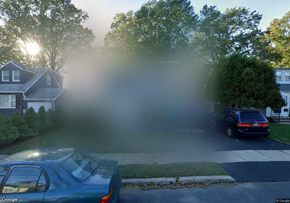
This home is located at 1248 Harding Ave, Union, NJ 07083 and is currently estimated at $477,969. 1248 Harding Ave is a home located in Union County with nearby schools including Franklin Elementary School, Burnet Middle School, and Union High School.
Ownership History
Date
Name
Owned For
Owner Type
Purchase Details
Closed on
Mar 28, 2001
Sold by
Russell Maude and Mcaloon Carol
Bought by
Delossantos Robert E and Delossantos Leticia A
Current Estimated Value
Home Financials for this Owner
Home Financials are based on the most recent Mortgage that was taken out on this home.
Original Mortgage
$147,950
Outstanding Balance
$54,662
Interest Rate
7.05%
Estimated Equity
$423,307
Create a Home Valuation Report for This Property
The Home Valuation Report is an in-depth analysis detailing your home's value as well as a comparison with similar homes in the area
Home Values in the Area
Average Home Value in this Area
Purchase History
| Date | Buyer | Sale Price | Title Company |
|---|---|---|---|
| Delossantos Robert E | $164,400 | -- |
Source: Public Records
Mortgage History
| Date | Status | Borrower | Loan Amount |
|---|---|---|---|
| Open | Delossantos Robert E | $147,950 |
Source: Public Records
Tax History
| Year | Tax Paid | Tax Assessment Tax Assessment Total Assessment is a certain percentage of the fair market value that is determined by local assessors to be the total taxable value of land and additions on the property. | Land | Improvement |
|---|---|---|---|---|
| 2025 | $10,192 | $45,600 | $20,000 | $25,600 |
| 2024 | $9,881 | $45,600 | $20,000 | $25,600 |
| 2023 | $9,881 | $45,600 | $20,000 | $25,600 |
| 2022 | $9,538 | $45,600 | $20,000 | $25,600 |
| 2021 | $9,307 | $45,600 | $20,000 | $25,600 |
| 2020 | $9,121 | $45,600 | $20,000 | $25,600 |
| 2019 | $8,998 | $45,600 | $20,000 | $25,600 |
| 2018 | $8,845 | $45,600 | $20,000 | $25,600 |
| 2017 | $8,714 | $45,600 | $20,000 | $25,600 |
| 2016 | $8,502 | $45,600 | $20,000 | $25,600 |
| 2015 | $8,361 | $45,600 | $20,000 | $25,600 |
| 2014 | $8,173 | $45,600 | $20,000 | $25,600 |
Source: Public Records
Map
Nearby Homes
- 1244 Grandview Ave
- 1270 Coolidge Ave
- 1263 Coolidge Ave
- 1239 Victor Ave
- 1044 Grandview Ave
- 2011 Kay Ave
- 2047 Gless Ave
- 1841 Cider Mill Rd
- 2096 Lentz Ave
- 987 Floyd Terrace
- 1801 Quaker Way
- 2029 Balmoral Ave
- 1218 Schmidt Ave
- 1109 Overlook Terrace
- 2144 Tyler St
- 2970 Aberdeen Rd
- 1265 Shetland Dr
- 1584 Walker Ave
- 2200 Vauxhall Rd
- 2210 Stecher Ave
- 1244 Harding Ave
- 1252 Harding Ave
- 1240 Harding Ave
- 1256 Harding Ave
- 1249 Harding Ave
- 1253 Harding Ave
- 1236 Harding Ave
- 1245 Harding Ave
- 1245 Grandview Ave
- 1251 Grandview Ave
- 1249 Grandview Ave
- 1260 Harding Ave
- 1257 Harding Ave
- 1241 Harding Ave
- 1241 Grandview Ave
- 1949 Haines Ave
- 1232 Harding Ave
- 1261 Harding Ave
- 1953 Haines Ave
- 1943 Haines Ave
Your Personal Tour Guide
Ask me questions while you tour the home.