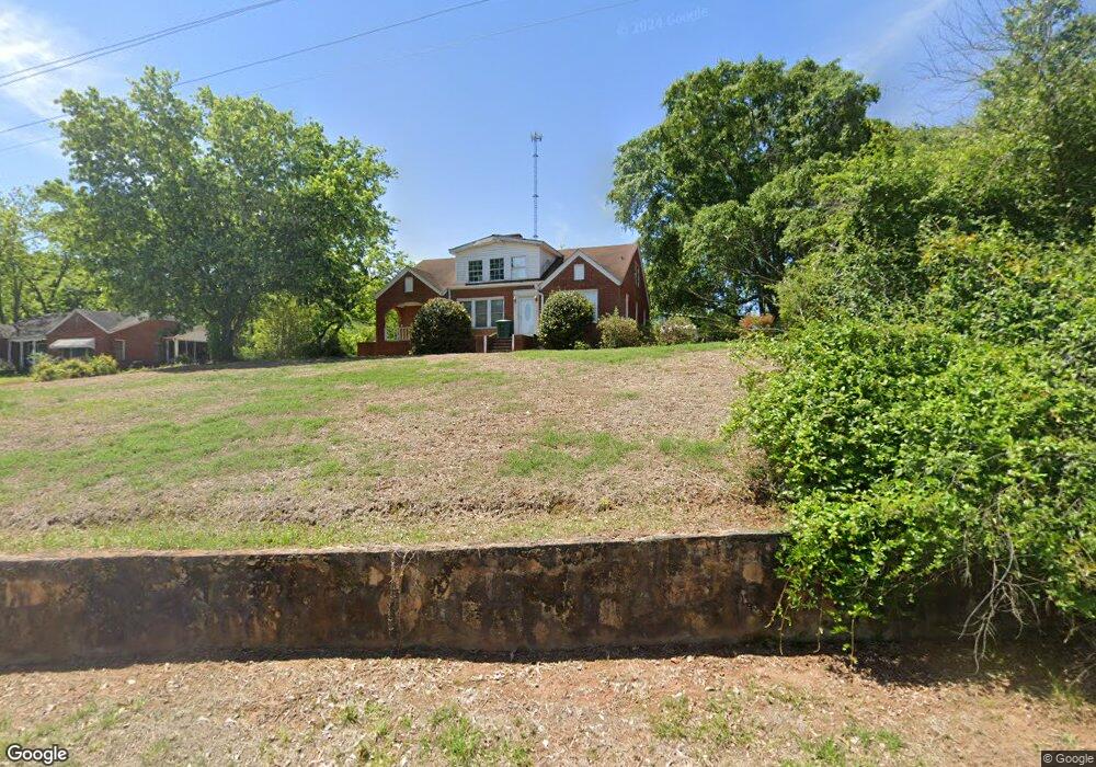
1248 Highway 19 S Thomaston, GA 30286
Estimated Value: $155,000 - $251,000
4
Beds
2
Baths
2,407
Sq Ft
$90/Sq Ft
Est. Value
About This Home
This home is located at 1248 Highway 19 S, Thomaston, GA 30286 and is currently estimated at $217,685, approximately $90 per square foot. 1248 Highway 19 S is a home located in Upson County with nearby schools including Upson-Lee South Elementary School, Upson-Lee North Elementary School, and Upson-Lee Middle School.
Ownership History
Date
Name
Owned For
Owner Type
Purchase Details
Closed on
Oct 25, 2019
Sold by
Montgomery Doris V
Bought by
Johnson Donald R and Folger Mary A
Current Estimated Value
Purchase Details
Closed on
Mar 8, 2008
Sold by
Montgomery V Doris
Bought by
Montgomery V Doris
Home Financials for this Owner
Home Financials are based on the most recent Mortgage that was taken out on this home.
Original Mortgage
$25,000
Interest Rate
5.62%
Mortgage Type
New Conventional
Create a Home Valuation Report for This Property
The Home Valuation Report is an in-depth analysis detailing your home's value as well as a comparison with similar homes in the area
Home Values in the Area
Average Home Value in this Area
Purchase History
| Date | Buyer | Sale Price | Title Company |
|---|---|---|---|
| Johnson Donald R | $63,000 | -- | |
| Montgomery V Doris | -- | -- |
Source: Public Records
Mortgage History
| Date | Status | Borrower | Loan Amount |
|---|---|---|---|
| Previous Owner | Montgomery V Doris | $25,000 |
Source: Public Records
Tax History Compared to Growth
Tax History
| Year | Tax Paid | Tax Assessment Tax Assessment Total Assessment is a certain percentage of the fair market value that is determined by local assessors to be the total taxable value of land and additions on the property. | Land | Improvement |
|---|---|---|---|---|
| 2024 | $1,991 | $75,283 | $1,811 | $73,472 |
| 2023 | $1,977 | $72,018 | $1,811 | $70,207 |
| 2022 | $1,580 | $56,970 | $1,811 | $55,159 |
| 2021 | $1,256 | $47,658 | $1,810 | $45,848 |
| 2020 | $711 | $48,672 | $1,811 | $46,861 |
| 2019 | $1,174 | $47,445 | $1,811 | $45,634 |
| 2018 | $1,174 | $47,445 | $1,811 | $45,634 |
| 2017 | $1,210 | $44,923 | $1,811 | $43,112 |
| 2016 | $1,178 | $43,441 | $1,811 | $41,630 |
| 2015 | $1,177 | $43,441 | $1,811 | $41,630 |
| 2014 | $1,177 | $43,441 | $1,811 | $41,630 |
Source: Public Records
Map
Nearby Homes
- 0 Highway 19 S Unit 24061935
- 0 Walton Cir Unit 10420188
- 269 Mlk jr Dr
- 133 Springdale Dr
- 2077 Wiley St
- 615 Peachtree Dr
- 2088 Wiley St
- 312 Magnolia Ave
- 0 Veterans Dr Unit 10303890
- 720 S Church St
- 2283 Cook St
- 406 Brookwood Dr
- 209 Upson Ave
- 0 Davis Lake Rd Unit 10511531
- 68 Davis Lake Rd Unit LOT 16
- 710 Hill St
- 300 Mallory St
- 105 Upson Ave
- 107 Shasta Dr
- 1456 Grantling St
- 1248 U S 19
- 1256 Highway 19 S
- 1256 Highway 19 S
- 244 Rogers St
- 325 Rogers St
- 1038 S Center St
- 333 Rogers St
- 347 Rogers St
- 341 Rogers St
- 353 Rogers St
- 1233 Highway 19 S
- 109 Pasley St Unit 109-117
- 109 Pasley St
- 334 Rogers St
- 101 Pasley St
- 342 Rogers St
- 359 Rogers St
- 1255 Highway 19 S
- 1255 S Us Hwy 19
- 326 Rogers St