1248 Max Ln Mount Pleasant, SC 29466
Six Mile NeighborhoodEstimated Value: $863,622 - $1,033,000
3
Beds
4
Baths
2,223
Sq Ft
$439/Sq Ft
Est. Value
About This Home
This home is located at 1248 Max Ln, Mount Pleasant, SC 29466 and is currently estimated at $976,156, approximately $439 per square foot. 1248 Max Ln is a home with nearby schools including Jennie Moore Elementary School, Laing Middle School, and Wando High School.
Ownership History
Date
Name
Owned For
Owner Type
Purchase Details
Closed on
Jun 17, 2021
Sold by
Stanley Martin Homes Llc
Bought by
Parker Mickey D and Parker Tatiana E
Current Estimated Value
Home Financials for this Owner
Home Financials are based on the most recent Mortgage that was taken out on this home.
Original Mortgage
$329,000
Interest Rate
2.9%
Mortgage Type
New Conventional
Purchase Details
Closed on
Jun 3, 2021
Sold by
Stanley Martin Homes Llc
Bought by
Dolch Christopher Edward and Dolch Jennifer Anne
Home Financials for this Owner
Home Financials are based on the most recent Mortgage that was taken out on this home.
Original Mortgage
$329,000
Interest Rate
2.9%
Mortgage Type
New Conventional
Purchase Details
Closed on
Oct 10, 2019
Sold by
Sm Charleston Llc
Bought by
Stanley Martin Companies Llc
Purchase Details
Closed on
Nov 9, 2018
Sold by
Old Georgetown Llc
Bought by
Sm Charlestion Llc
Create a Home Valuation Report for This Property
The Home Valuation Report is an in-depth analysis detailing your home's value as well as a comparison with similar homes in the area
Home Values in the Area
Average Home Value in this Area
Purchase History
| Date | Buyer | Sale Price | Title Company |
|---|---|---|---|
| Parker Mickey D | $380,860 | None Listed On Document | |
| Parker Mickey D | $380,860 | None Listed On Document | |
| Dolch Christopher Edward | $627,000 | None Listed On Document | |
| Stanley Martin Companies Llc | -- | None Available | |
| Sm Charlestion Llc | $7,000,000 | None Available |
Source: Public Records
Mortgage History
| Date | Status | Borrower | Loan Amount |
|---|---|---|---|
| Previous Owner | Dolch Christopher Edward | $329,000 |
Source: Public Records
Tax History Compared to Growth
Tax History
| Year | Tax Paid | Tax Assessment Tax Assessment Total Assessment is a certain percentage of the fair market value that is determined by local assessors to be the total taxable value of land and additions on the property. | Land | Improvement |
|---|---|---|---|---|
| 2024 | $2,467 | $25,080 | $0 | $0 |
| 2023 | $2,467 | $25,080 | $0 | $0 |
| 2022 | $2,247 | $25,080 | $0 | $0 |
| 2021 | $2,892 | $8,400 | $0 | $0 |
| 2020 | $2,857 | $12,600 | $0 | $0 |
| 2019 | -- | $12,600 | $0 | $0 |
Source: Public Records
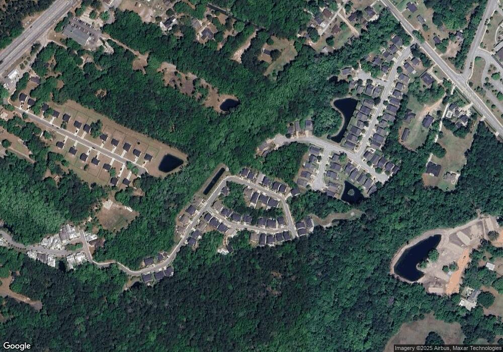
Map
Nearby Homes
- 2425 Giles Ln
- 1214 Max Ln
- 2620 Lohr Dr
- 1170 Fulton Hall Ln
- 1142 Fulton Hall Ln
- 1180 Fulton Hall Ln
- 2663 Rifle Range Rd
- 1124 Fulton Hall Ln
- 0000 Hamlin Rd
- 0 Crystal Dr Unit 23016311
- 0 Coakley Rd Unit 23016313
- 1188 Cultivator St
- 1410 Jefferson Rd
- 2889 Backman St
- 1166 Old Ivy Way
- 1192 Crystal Rd
- 1175 Dingle Rd
- 1185 W Park View Place
- 1126 Middleton Ct
- 1215 Dingle Rd
- 1244 Max Ln
- 1252 Max Ln
- 1249 Max Ln
- 1213 Shingleback Dr
- 1256 Max Ln
- 1253 Max Ln
- 1257 Max Ln
- 1260 Max Ln
- 1261 Max Ln
- 2432 Giles Ln
- 2424 Giles Ln
- 2428 Giles Ln
- 2420 Giles Ln
- 1264 Max Ln
- 2438 Giles Ln
- 2726 Big Fire Ct
- 0 Old Georgetown Rd Unit 2113404
- 0 Old Georgetown Rd Unit 2503286
- 0 Old Georgetown Rd Unit 2637460
- 0 Old Georgetown Rd Unit 2113403