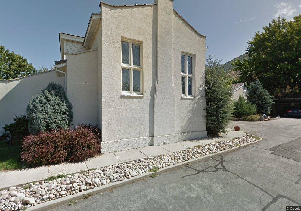
1248 N Main St Centerville, UT 84014
Estimated Value: $665,000 - $1,017,000
5
Beds
4
Baths
10,342
Sq Ft
$79/Sq Ft
Est. Value
About This Home
This home is located at 1248 N Main St, Centerville, UT 84014 and is currently estimated at $816,766, approximately $78 per square foot. 1248 N Main St is a home located in Davis County with nearby schools including Stewart Elementary School, Centerville Jr High, and Viewmont High School.
Ownership History
Date
Name
Owned For
Owner Type
Purchase Details
Closed on
Aug 22, 2016
Sold by
Anderson Daniel L and Anderson Marcia J
Bought by
Jedediah Flintlock Llc
Current Estimated Value
Purchase Details
Closed on
Nov 10, 1997
Sold by
Fifield Voneta
Bought by
Anderson Daniel L and Anderson Marcia J
Purchase Details
Closed on
Nov 6, 1997
Sold by
Anderson Family Investments
Bought by
Anderson Daniel L and Anderson Marcia J
Create a Home Valuation Report for This Property
The Home Valuation Report is an in-depth analysis detailing your home's value as well as a comparison with similar homes in the area
Purchase History
| Date | Buyer | Sale Price | Title Company |
|---|---|---|---|
| Jedediah Flintlock Llc | -- | Old Republic Title | |
| Anderson Daniel L | -- | Associated Title Company | |
| Anderson Daniel L | -- | Associated Title Company | |
| Anderson Daniel L | -- | Associated Title Company |
Source: Public Records
Tax History
| Year | Tax Paid | Tax Assessment Tax Assessment Total Assessment is a certain percentage of the fair market value that is determined by local assessors to be the total taxable value of land and additions on the property. | Land | Improvement |
|---|---|---|---|---|
| 2025 | $5,224 | $499,758 | $221,390 | $278,368 |
| 2024 | $4,107 | $375,500 | $182,444 | $193,056 |
| 2023 | $4,769 | $378,518 | $182,444 | $196,073 |
| 2022 | $4,109 | $616,276 | $312,584 | $303,692 |
| 2021 | $4,637 | $592,311 | $288,619 | $303,692 |
| 2020 | $4,221 | $545,610 | $268,331 | $277,279 |
| 2019 | $4,047 | $505,094 | $227,815 | $277,279 |
| 2018 | $3,757 | $463,425 | $209,317 | $254,108 |
| 2016 | $3,874 | $313,137 | $143,748 | $169,389 |
| 2015 | $4,001 | $305,117 | $95,124 | $209,993 |
| 2014 | $3,910 | $305,117 | $95,124 | $209,993 |
| 2013 | -- | $272,983 | $62,990 | $209,993 |
Source: Public Records
Map
Nearby Homes
- 1366 Cottonwood Dr
- 22 Creekside Ln
- 1238 N 450 W
- 147 W 925 N
- 271 Brookfield Ln
- 261 Park Ln
- 775 Pheasantbrook Cir
- 871 Poplar Cir
- 67 W Pheasantbrook Dr
- 833 N Lakeside Ln
- 438 W 1050 N
- 781 Pheasantbrook Dr
- 1549 N 400 W
- 763 Pheasantbrook Dr
- 751 Pheasantbrook Dr
- 292 W 680 N
- 1171 N 725 W
- 281 W 650 N Unit B
- 303 W 650 N Unit I
- 282 W 605 N Unit I
Your Personal Tour Guide
Ask me questions while you tour the home.