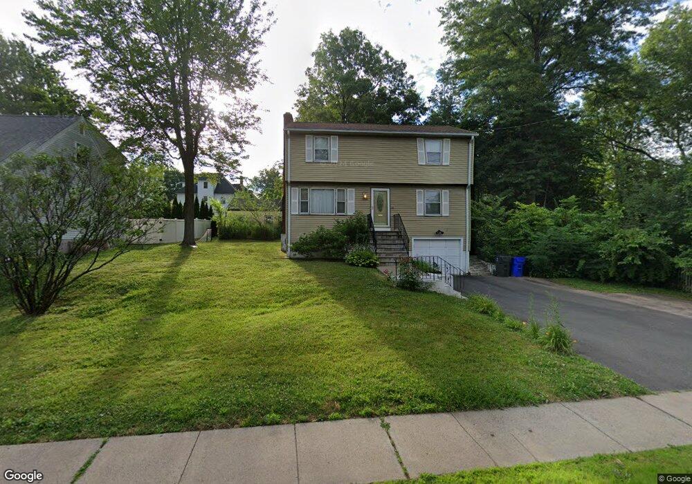
1248 Trout Brook Dr West Hartford, CT 06119
Estimated Value: $421,000 - $484,000
3
Beds
2
Baths
1,568
Sq Ft
$282/Sq Ft
Est. Value
About This Home
This home is located at 1248 Trout Brook Dr, West Hartford, CT 06119 and is currently estimated at $442,593, approximately $282 per square foot. 1248 Trout Brook Dr is a home located in Hartford County with nearby schools including Morley School, King Philip Middle School, and Hall High School.
Ownership History
Date
Name
Owned For
Owner Type
Purchase Details
Closed on
Dec 12, 1997
Sold by
Kass Philip and Kass Vivian
Bought by
Hill Otis R and Rinaldi-Hill Linda M
Current Estimated Value
Home Financials for this Owner
Home Financials are based on the most recent Mortgage that was taken out on this home.
Original Mortgage
$111,300
Outstanding Balance
$25,260
Interest Rate
7.14%
Mortgage Type
VA
Estimated Equity
$417,333
Create a Home Valuation Report for This Property
The Home Valuation Report is an in-depth analysis detailing your home's value as well as a comparison with similar homes in the area
Home Values in the Area
Average Home Value in this Area
Purchase History
| Date | Buyer | Sale Price | Title Company |
|---|---|---|---|
| Hill Otis R | $115,500 | -- |
Source: Public Records
Mortgage History
| Date | Status | Borrower | Loan Amount |
|---|---|---|---|
| Open | Hill Otis R | $111,300 |
Source: Public Records
Tax History Compared to Growth
Tax History
| Year | Tax Paid | Tax Assessment Tax Assessment Total Assessment is a certain percentage of the fair market value that is determined by local assessors to be the total taxable value of land and additions on the property. | Land | Improvement |
|---|---|---|---|---|
| 2025 | $8,122 | $181,380 | $58,600 | $122,780 |
| 2024 | $7,681 | $181,380 | $58,600 | $122,780 |
| 2023 | $7,422 | $181,380 | $58,600 | $122,780 |
| 2022 | $7,379 | $181,380 | $58,600 | $122,780 |
| 2021 | $6,889 | $162,400 | $61,000 | $101,400 |
| 2020 | $6,788 | $162,400 | $57,200 | $105,200 |
| 2019 | $6,788 | $162,400 | $57,190 | $105,210 |
| 2018 | $6,658 | $162,400 | $57,190 | $105,210 |
| 2017 | $6,665 | $162,400 | $57,190 | $105,210 |
| 2016 | $6,411 | $162,260 | $51,380 | $110,880 |
| 2015 | $6,216 | $162,260 | $51,380 | $110,880 |
| 2014 | $6,064 | $162,260 | $51,380 | $110,880 |
Source: Public Records
Map
Nearby Homes
- 1268 Trout Brook Dr
- 1272 Trout Brook Dr
- 129 Middlebrook Rd
- 1196 Trout Brook Dr
- 1294 Trout Brook Dr
- 132 N Main St
- 105 Ardmore Rd
- 1110 Trout Brook Dr
- 54 Robin Rd Unit B2
- 183 Loomis Dr Unit 109
- 11 Lawler Rd
- 3 Trumbull Ln
- 1006A Trout Brook Dr Unit 1006A
- 48 Walkley Rd
- 237 Fern St Unit 314
- 869 Farmington Ave Unit 305
- 16 Lilley Rd
- 30 Outlook Ave Unit 205
- 3 Pilgrim Rd
- 62 Blue Ridge Ln
- 1250 Trout Brook Dr
- 170 Bainbridge Rd
- 141 Ballard Dr
- 1252 Trout Brook Dr
- 145 Ballard Dr
- 131 Ballard Dr
- 151 Ballard Dr
- 1254 Trout Brook Dr
- 127 Ballard Dr
- 155 Ballard Dr
- 1256 Trout Brook Dr
- 161 Ballard Dr
- 117 Ballard Dr
- 1258 Trout Brook Dr
- 138 Ballard Dr
- 142 Ballard Dr
- 1234 Trout Brook Dr
- 134 Ballard Dr
- 79 Confidential Ln
- 165 Ballard Dr