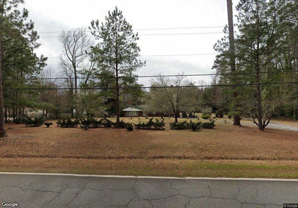
1248 Wrightsboro Rd Thomson, GA 30824
Estimated Value: $276,000 - $478,000
3
Beds
2
Baths
2,887
Sq Ft
$122/Sq Ft
Est. Value
About This Home
This home is located at 1248 Wrightsboro Rd, Thomson, GA 30824 and is currently estimated at $352,184, approximately $121 per square foot. 1248 Wrightsboro Rd is a home located in McDuffie County with nearby schools including Thomson High School.
Ownership History
Date
Name
Owned For
Owner Type
Purchase Details
Closed on
Dec 18, 2015
Sold by
Collins Willie A
Bought by
Collins Bennie Mae
Current Estimated Value
Home Financials for this Owner
Home Financials are based on the most recent Mortgage that was taken out on this home.
Original Mortgage
$255,000
Outstanding Balance
$200,222
Interest Rate
3.82%
Mortgage Type
Reverse Mortgage Home Equity Conversion Mortgage
Estimated Equity
$151,962
Purchase Details
Closed on
May 8, 2008
Sold by
Collins Bennie Mae
Bought by
Collins Bennie
Purchase Details
Closed on
Oct 23, 1989
Bought by
Collins Bennie Mae
Create a Home Valuation Report for This Property
The Home Valuation Report is an in-depth analysis detailing your home's value as well as a comparison with similar homes in the area
Home Values in the Area
Average Home Value in this Area
Purchase History
| Date | Buyer | Sale Price | Title Company |
|---|---|---|---|
| Collins Bennie Mae | -- | -- | |
| Collins Bennie | -- | -- | |
| Collins Bennie Mae | -- | -- |
Source: Public Records
Mortgage History
| Date | Status | Borrower | Loan Amount |
|---|---|---|---|
| Open | Collins Bennie Mae | $255,000 |
Source: Public Records
Tax History
| Year | Tax Paid | Tax Assessment Tax Assessment Total Assessment is a certain percentage of the fair market value that is determined by local assessors to be the total taxable value of land and additions on the property. | Land | Improvement |
|---|---|---|---|---|
| 2025 | $2,110 | $111,976 | $6,382 | $105,594 |
| 2024 | $2,110 | $106,098 | $5,750 | $100,348 |
| 2023 | $2,041 | $102,035 | $5,750 | $96,285 |
| 2022 | $1,985 | $97,284 | $5,750 | $91,534 |
| 2021 | $1,451 | $76,842 | $5,582 | $71,260 |
| 2020 | $1,599 | $82,201 | $6,353 | $75,848 |
| 2019 | $1,915 | $82,201 | $6,353 | $75,848 |
| 2018 | $1,915 | $82,201 | $6,353 | $75,848 |
| 2017 | $1,911 | $84,525 | $6,353 | $78,172 |
| 2016 | $1,911 | $84,525 | $6,353 | $78,172 |
| 2015 | $2,024 | $84,842 | $6,843 | $78,000 |
| 2014 | $2,029 | $84,843 | $6,844 | $78,000 |
| 2013 | -- | $84,843 | $6,843 | $77,999 |
Source: Public Records
Map
Nearby Homes
- 1288 Wrightsboro Rd
- 1353 Wrightsboro Rd
- 875 Earle St
- 1213 Northview Extension
- 640 Dogwood Dr
- 1244 Northview Extension
- 624 Hemlock Dr
- 1138 Huntly Cir
- 615 Hemlock Dr
- 0 Martin Luther King Junior St
- 124 West St
- 609 Main St
- 641 Ellington Ave
- 0 Earle St
- 325 Bordeaux Dr
- 1289 Huntly Cir
- 212 Whitehead St
- Glenwood II Plan at Bent Creek Village - Single Family Homes
- Briarwood II Plan at Bent Creek Village - Single Family Homes
- Laurel II Plan at Bent Creek Village - Single Family Homes
- 0 Wrightsboro Rd Unit 393611
- 0 Wrightsboro Rd Unit 441955
- 0 Wrightsboro Rd Unit 458824
- 0-A Wrightsboro Rd Unit A
- 0-A Wrightsboro Rd
- 0A Wrightsboro Rd
- 1241 Wrightsboro Rd
- 285 Scott Dr
- 1261 Wrightsboro Rd
- 1235 Wrightsboro Rd
- 1205 Wrightsboro Rd
- 265 Scott Dr
- 255 Scott Dr
- 245 Scott Dr
- 1184 Wrightsboro Rd
- 299 Scott Dr
- 1183 Wrightsboro Rd
- 104 Scott Dr
- 1207 Wrightsboro Rd
- 1221 Wrightsboro Rd