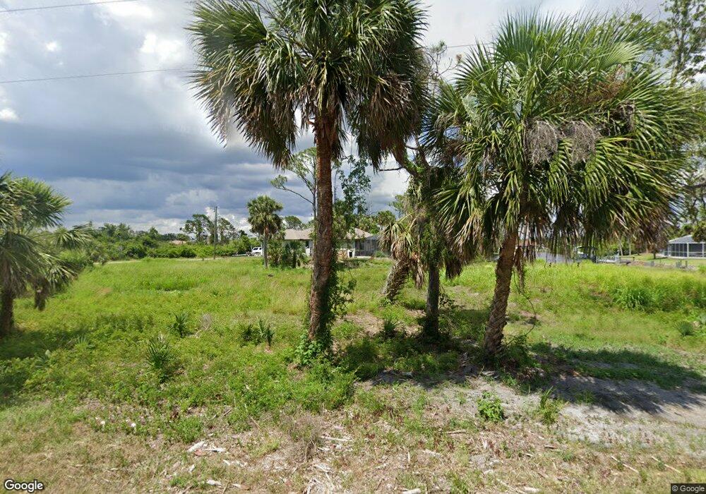
12480 Eisenhower Dr Port Charlotte, FL 33953
Northwest Port Charlotte NeighborhoodEstimated Value: $29,000 - $280,184
--
Bed
--
Bath
--
Sq Ft
0.83
Acres
About This Home
This home is located at 12480 Eisenhower Dr, Port Charlotte, FL 33953 and is currently estimated at $154,592. 12480 Eisenhower Dr is a home located in Charlotte County with nearby schools including Liberty Elementary School, Murdock Middle School, and Port Charlotte High School.
Ownership History
Date
Name
Owned For
Owner Type
Purchase Details
Closed on
Mar 28, 2008
Sold by
Declercq Donald H and Declercq Jane M
Bought by
Community National Bank Of Sarasota Cnty
Current Estimated Value
Purchase Details
Closed on
Jun 12, 2001
Sold by
Davia Don and Ortenzio Paul
Bought by
Declerco Donald H and Declerco Jane M
Home Financials for this Owner
Home Financials are based on the most recent Mortgage that was taken out on this home.
Original Mortgage
$17,600
Interest Rate
7.11%
Create a Home Valuation Report for This Property
The Home Valuation Report is an in-depth analysis detailing your home's value as well as a comparison with similar homes in the area
Home Values in the Area
Average Home Value in this Area
Purchase History
| Date | Buyer | Sale Price | Title Company |
|---|---|---|---|
| Community National Bank Of Sarasota Cnty | -- | None Available | |
| Declerco Donald H | $10,000 | -- | |
| Declercq Donald H | $10,000 | -- |
Source: Public Records
Mortgage History
| Date | Status | Borrower | Loan Amount |
|---|---|---|---|
| Previous Owner | Declercq Donald H | $17,600 |
Source: Public Records
Tax History Compared to Growth
Tax History
| Year | Tax Paid | Tax Assessment Tax Assessment Total Assessment is a certain percentage of the fair market value that is determined by local assessors to be the total taxable value of land and additions on the property. | Land | Improvement |
|---|---|---|---|---|
| 2023 | $494 | $5,657 | $0 | $0 |
| 2022 | $464 | $13,175 | $13,175 | $0 |
| 2021 | $407 | $4,675 | $4,675 | $0 |
| 2020 | $398 | $4,675 | $4,675 | $0 |
| 2019 | $396 | $4,675 | $4,675 | $0 |
| 2018 | $383 | $4,250 | $4,250 | $0 |
| 2017 | $377 | $4,021 | $4,021 | $0 |
| 2016 | $369 | $3,590 | $0 | $0 |
| 2015 | $368 | $3,301 | $0 | $0 |
| 2014 | $262 | $3,001 | $0 | $0 |
Source: Public Records
Map
Nearby Homes
- 1221 Underhill Cir
- 1343 Underhill Cir
- 1259 Underhill Cir
- 12308 Eisenhower Dr
- 13495 Eisenhower Dr
- 13487 Eisenhower Dr
- 12444 Eisenhower Dr
- 12518 Eisenhower Dr
- 12477 Eisenhower Dr Unit 6
- 12477 Eisenhower Dr
- 1369 Glanmore Dr
- 1288 Wheatley St
- 1310 Braklet Terrace
- 1360 Forrestal St
- 1336 Forrestal St
- 1392 Liggett Cir
- 13000 Windcrest Dr
- 13045 Irwin Dr
- 12301 Endicott Ln Unit 10
- 1332 Patton St
- 12488 Eisenhower Dr
- 1205 Underhill Cir
- 1213 Underhill Cir
- 1198 Underhill Cir
- 1409 Presidio Terrace
- 1352 Underhill Cir
- 1222 Underhill Cir
- 1344 Underhill Cir
- 1328 Underhill Cir
- 1237 Underhill Cir
- 12517 Eisenhower Dr
- 1238 Underhill Cir
- 1351 Underhill Cir
- 1230 Underhill Cir
- 1304 Underhill Cir
- 1214 Underhill Cir
- 1320 Underhill Cir
- 1327 Underhill Cir Unit 6
- 1319 Underhill Cir Unit 7
- 1327 Underhill Cir