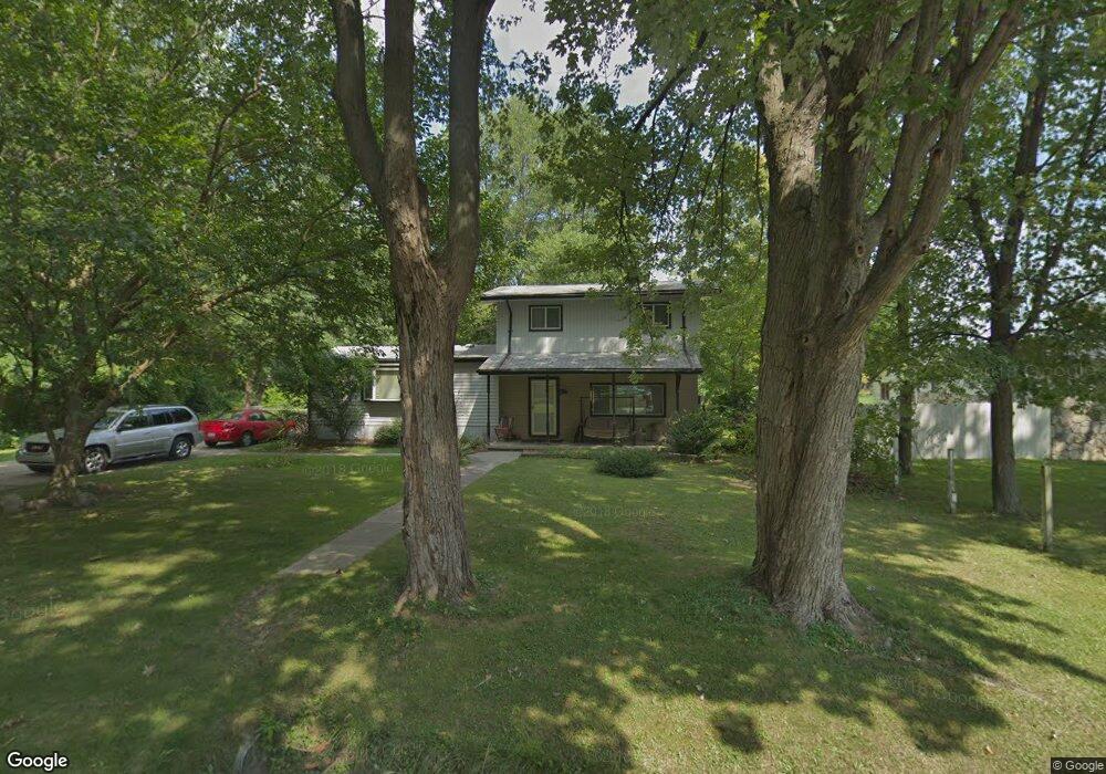
12481 Jackson St Taylor, MI 48180
Estimated Value: $203,000 - $219,000
--
Bed
--
Bath
1,611
Sq Ft
$131/Sq Ft
Est. Value
About This Home
This home is located at 12481 Jackson St, Taylor, MI 48180 and is currently estimated at $210,518, approximately $130 per square foot. 12481 Jackson St is a home located in Wayne County with nearby schools including Kinyon Elementary School, Robert J. West Middle School, and Creative Montessori Academy.
Ownership History
Date
Name
Owned For
Owner Type
Purchase Details
Closed on
Jan 18, 2013
Sold by
Stanley Billie Jo and Troutt Billie Jo
Bought by
Stanley Billie Jo
Current Estimated Value
Home Financials for this Owner
Home Financials are based on the most recent Mortgage that was taken out on this home.
Original Mortgage
$67,530
Interest Rate
3.31%
Mortgage Type
New Conventional
Create a Home Valuation Report for This Property
The Home Valuation Report is an in-depth analysis detailing your home's value as well as a comparison with similar homes in the area
Home Values in the Area
Average Home Value in this Area
Purchase History
| Date | Buyer | Sale Price | Title Company |
|---|---|---|---|
| Stanley Billie Jo | -- | None Available |
Source: Public Records
Mortgage History
| Date | Status | Borrower | Loan Amount |
|---|---|---|---|
| Closed | Stanley Billie Jo | $67,530 |
Source: Public Records
Tax History Compared to Growth
Tax History
| Year | Tax Paid | Tax Assessment Tax Assessment Total Assessment is a certain percentage of the fair market value that is determined by local assessors to be the total taxable value of land and additions on the property. | Land | Improvement |
|---|---|---|---|---|
| 2025 | $2,831 | $100,600 | $0 | $0 |
| 2024 | $2,831 | $92,400 | $0 | $0 |
| 2023 | $4,041 | $71,400 | $0 | $0 |
| 2022 | $2,663 | $65,000 | $0 | $0 |
| 2021 | $3,147 | $59,500 | $0 | $0 |
| 2020 | $2,810 | $53,300 | $0 | $0 |
| 2019 | $308,367 | $51,200 | $0 | $0 |
| 2018 | $2,338 | $42,100 | $0 | $0 |
| 2017 | $1,172 | $42,400 | $0 | $0 |
| 2016 | $3,358 | $41,100 | $0 | $0 |
| 2015 | $3,708 | $37,100 | $0 | $0 |
| 2013 | $3,700 | $38,600 | $0 | $0 |
| 2012 | $1,668 | $37,800 | $7,400 | $30,400 |
Source: Public Records
Map
Nearby Homes
- 12391 First Ave S
- 12487 First Ave S
- 12561 Hipp St
- 20650 Brest
- 11348 Afton Rd
- 11199 Ziegler St
- 11187 Ziegler St
- 11222 Afton Rd
- 16685 Rudgate St
- 22900 Superior St
- 16285 Raleigh Square Dr
- 20710 Superior Rd
- 14082 Jackson St
- 14108 Flanders Ave
- 20091 Crisler St
- 10854 Allen Rd
- 13240 Westminister St
- 15602 Northline Rd
- 00 Allen Rd
- 10851 Lakeview Dr
- 12501 Jackson St
- 20136 Empire St
- 12480 Jackson St
- 20122 Empire St
- 20174 Empire St
- 12510 Jackson St
- 12538 Jackson St
- 12491 Weddel St
- 12467 Weddel St
- 12503 Weddel St
- 12550 Jackson St
- 12515 Weddel St
- 20200 Empire St
- 12527 Weddel St
- 20135 Empire St
- 12537 Weddel St
- 20025 Empire St
- 12549 Weddel St
- 20230 Empire St
- 20187 Empire St