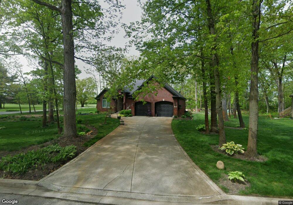
12486 S Williams Ct Crown Point, IN 46307
Estimated Value: $416,000 - $587,000
4
Beds
2
Baths
2,474
Sq Ft
$216/Sq Ft
Est. Value
About This Home
This home is located at 12486 S Williams Ct, Crown Point, IN 46307 and is currently estimated at $535,282, approximately $216 per square foot. 12486 S Williams Ct is a home located in Lake County with nearby schools including Lake Street Elementary School, Robert Taft Middle School, and Crown Point High School.
Ownership History
Date
Name
Owned For
Owner Type
Purchase Details
Closed on
Mar 31, 2021
Sold by
Roberts Bryan C and Roberts Bryan C
Bought by
Skertich Robert and Skertich Mariyah
Current Estimated Value
Home Financials for this Owner
Home Financials are based on the most recent Mortgage that was taken out on this home.
Original Mortgage
$373,931
Interest Rate
2.8%
Mortgage Type
FHA
Create a Home Valuation Report for This Property
The Home Valuation Report is an in-depth analysis detailing your home's value as well as a comparison with similar homes in the area
Home Values in the Area
Average Home Value in this Area
Purchase History
| Date | Buyer | Sale Price | Title Company |
|---|---|---|---|
| Skertich Robert | $525,000 | None Available | |
| Roberts Bryan C | -- | None Available |
Source: Public Records
Mortgage History
| Date | Status | Borrower | Loan Amount |
|---|---|---|---|
| Previous Owner | Skertich Robert | $373,931 |
Source: Public Records
Tax History Compared to Growth
Tax History
| Year | Tax Paid | Tax Assessment Tax Assessment Total Assessment is a certain percentage of the fair market value that is determined by local assessors to be the total taxable value of land and additions on the property. | Land | Improvement |
|---|---|---|---|---|
| 2024 | $9,215 | $462,500 | $78,300 | $384,200 |
| 2023 | $4,178 | $433,600 | $78,300 | $355,300 |
| 2022 | $7,742 | $414,700 | $78,300 | $336,400 |
| 2021 | $4,180 | $410,600 | $78,300 | $332,300 |
| 2020 | $4,403 | $409,800 | $78,300 | $331,500 |
| 2019 | $4,256 | $392,800 | $78,300 | $314,500 |
| 2018 | $4,361 | $381,900 | $78,300 | $303,600 |
| 2017 | $4,763 | $408,300 | $78,300 | $330,000 |
| 2016 | $4,867 | $413,900 | $78,300 | $335,600 |
| 2014 | $4,758 | $425,100 | $78,300 | $346,800 |
| 2013 | $4,649 | $416,400 | $78,300 | $338,100 |
Source: Public Records
Map
Nearby Homes
- 12109 White Oak Dr
- 12860 Baker Ct
- 4714 W 121st Ave
- 12812 Whitcomb St
- 1144 Mary Ellen Dr
- 12201 Cedar Lake Rd
- 12715 Cedar Lake Rd
- 1156 Donegal Ln
- 3709 W 121st Ave
- 12120 Burr St
- 1575 S Feather Rock Dr
- 1140 Hyde Park
- 775 Quinlan Ct
- 804 Shannon Dr
- 802 Hayfield Dr
- 4422 W 133rd Ave
- The Cottonwood Plan at Golden Meadow
- The Magnolia Plan at Golden Meadow
- The Birch Plan at Golden Meadow
- 1540 Brackenbury Ln
- 12345 S Williams Ct
- 12478 S Williams Ct
- 4750 W 125th Ave
- 12467 Clark St
- 12495 S Williams Ct
- 12454 S Williams Ct
- 12483 S Williams Ct
- 12461 S Williams Ct
- 12513 Clark St
- 12405 Clark St
- 4828 W 125th Ave
- 12504 Clark St
- 4659 W 125th Ave
- 12430 Clark St
- 12416 Clark St
- 12351 S Williams Ct
- 4900 W 125th Ave
- 12400 Clark St
- 12363 S Williams Ct
- 4933 W 125th Ave