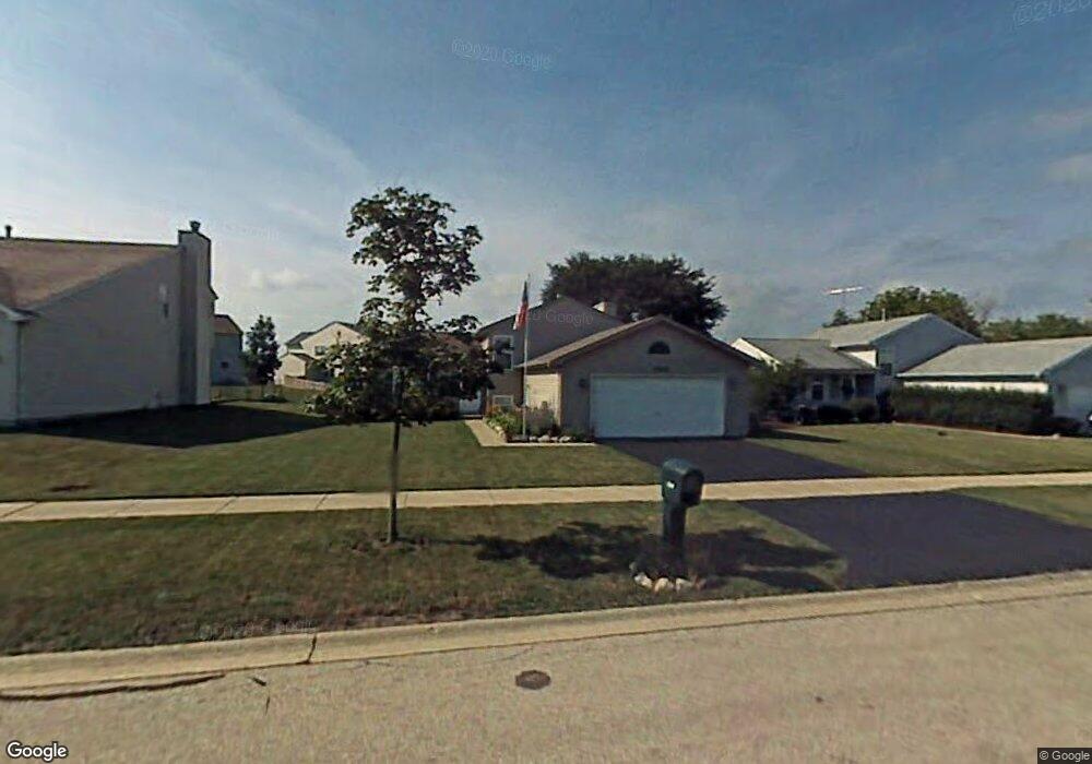
1249 Pheasant Run Zion, IL 60099
West Zion NeighborhoodEstimated Value: $284,000 - $302,000
3
Beds
2
Baths
1,080
Sq Ft
$270/Sq Ft
Est. Value
About This Home
This home is located at 1249 Pheasant Run, Zion, IL 60099 and is currently estimated at $291,698, approximately $270 per square foot. 1249 Pheasant Run is a home located in Lake County with nearby schools including Newport Elementary School, Beach Park Middle School, and Zion-Benton Township High School.
Ownership History
Date
Name
Owned For
Owner Type
Purchase Details
Closed on
Feb 17, 1999
Sold by
Bank Of Waukegan
Bought by
Gnatt Joseph R and Gnatt Stacey A
Current Estimated Value
Home Financials for this Owner
Home Financials are based on the most recent Mortgage that was taken out on this home.
Original Mortgage
$137,505
Outstanding Balance
$32,938
Interest Rate
6.88%
Mortgage Type
FHA
Estimated Equity
$258,760
Purchase Details
Closed on
Jul 21, 1998
Sold by
Grand Premier Trust & Investment Inc
Bought by
Bank Of Waukegan and Trust #204129
Home Financials for this Owner
Home Financials are based on the most recent Mortgage that was taken out on this home.
Original Mortgage
$412,500
Interest Rate
8.5%
Create a Home Valuation Report for This Property
The Home Valuation Report is an in-depth analysis detailing your home's value as well as a comparison with similar homes in the area
Home Values in the Area
Average Home Value in this Area
Purchase History
| Date | Buyer | Sale Price | Title Company |
|---|---|---|---|
| Gnatt Joseph R | $139,000 | -- | |
| Bank Of Waukegan | $550,000 | -- |
Source: Public Records
Mortgage History
| Date | Status | Borrower | Loan Amount |
|---|---|---|---|
| Open | Gnatt Joseph R | $137,505 | |
| Previous Owner | Bank Of Waukegan | $412,500 |
Source: Public Records
Tax History Compared to Growth
Tax History
| Year | Tax Paid | Tax Assessment Tax Assessment Total Assessment is a certain percentage of the fair market value that is determined by local assessors to be the total taxable value of land and additions on the property. | Land | Improvement |
|---|---|---|---|---|
| 2024 | $7,657 | $76,192 | $9,824 | $66,368 |
| 2023 | $7,076 | $67,932 | $8,759 | $59,173 |
| 2022 | $7,076 | $60,229 | $7,215 | $53,014 |
| 2021 | $6,962 | $56,500 | $6,768 | $49,732 |
| 2020 | $6,703 | $53,142 | $6,366 | $46,776 |
| 2019 | $6,508 | $49,503 | $5,930 | $43,573 |
| 2018 | $5,817 | $44,195 | $5,420 | $38,775 |
| 2017 | $5,717 | $40,997 | $5,028 | $35,969 |
| 2016 | $5,253 | $37,216 | $4,564 | $32,652 |
| 2015 | $5,012 | $33,768 | $4,141 | $29,627 |
| 2014 | $4,619 | $32,167 | $3,920 | $28,247 |
| 2012 | $5,085 | $34,257 | $4,175 | $30,082 |
Source: Public Records
Map
Nearby Homes
- 1305 Reed Rd
- 1210 Lorelei Dr
- 4014 Ridge Rd
- 1524 Anderson Trail
- 4004 Gregory Dr
- 1712 Dusk Dr
- 4108 Douglas Dr
- 4539 Illinois 173
- 4533 Illinois 173
- 3903 9th St
- 1907 Dawn Ln
- 11778 W 12th St
- 1521 Southport Ct
- 1405 Lewis Ave
- 41616 N Delany Rd
- 12434 W Van Ct
- 4109 Sarah Dr
- 42333 N Theodore Ct
- 13310 W Greenview Dr
- 2407 Phillip Dr
- 1251 Pheasant Run
- 1247 Pheasant Run
- 1245 Pheasant Run
- 3808 Tickseed Dr
- 3810 Tickseed Dr
- 1243 Pheasant Run
- 3806 Tickseed Dr
- 3812 Tickseed Dr
- 1241 Pheasant Run
- 3804 Tickseed Dr
- 1213 Cardinal Dr
- 3811 Tickseed Dr
- 1239 Pheasant Run
- 3814 Tickseed Dr
- 3802 Tickseed Dr
- 1211 Cardinal Dr
- 3813 Tickseed Dr
- 1238 Pheasant Run
- 1300 Reed Rd
- 3816 Tickseed Dr