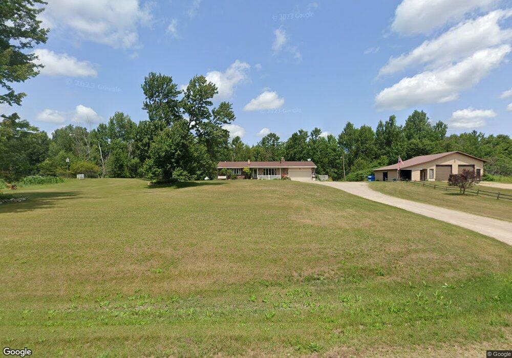
12490 N Branch Rd Suring, WI 54174
Estimated Value: $325,000 - $435,000
Studio
--
Bath
--
Sq Ft
384,635
Sq Ft Lot
About This Home
This home is located at 12490 N Branch Rd, Suring, WI 54174 and is currently estimated at $373,872. 12490 N Branch Rd is a home located in Oconto County with nearby schools including Suring Elementary School and Suring High School.
Ownership History
Date
Name
Owned For
Owner Type
Purchase Details
Closed on
May 29, 2020
Sold by
Mitchell Timothy
Bought by
Timothy D Mitchell And Susan M Mitchell Revoc
Current Estimated Value
Home Financials for this Owner
Home Financials are based on the most recent Mortgage that was taken out on this home.
Interest Rate
3.15%
Create a Home Valuation Report for This Property
The Home Valuation Report is an in-depth analysis detailing your home's value as well as a comparison with similar homes in the area
Purchase History
| Date | Buyer | Sale Price | Title Company |
|---|---|---|---|
| Timothy D Mitchell And Susan M Mitchell Revoc | $168,800 | -- |
Source: Public Records
Mortgage History
| Date | Status | Borrower | Loan Amount |
|---|---|---|---|
| Closed | Timothy D Mitchell And Susan M Mitchell Revoc | -- |
Source: Public Records
Tax History
| Year | Tax Paid | Tax Assessment Tax Assessment Total Assessment is a certain percentage of the fair market value that is determined by local assessors to be the total taxable value of land and additions on the property. | Land | Improvement |
|---|---|---|---|---|
| 2024 | $25 | $262,800 | $39,500 | $223,300 |
| 2023 | $2,337 | $168,800 | $25,000 | $143,800 |
| 2022 | $2,626 | $168,800 | $25,000 | $143,800 |
| 2021 | $2,341 | $168,800 | $25,000 | $143,800 |
| 2020 | $2,349 | $168,800 | $25,000 | $143,800 |
| 2019 | $2,265 | $168,800 | $25,000 | $143,800 |
| 2018 | $2,352 | $168,800 | $25,000 | $143,800 |
| 2017 | $2,384 | $168,800 | $25,000 | $143,800 |
| 2016 | $2,464 | $168,800 | $25,000 | $143,800 |
| 2015 | $2,437 | $168,800 | $25,000 | $143,800 |
| 2013 | $2,697 | $201,100 | $27,400 | $173,700 |
Source: Public Records
Map
Nearby Homes
- 10869 Randall Ln
- 10325 Peshtigo Brook Rd
- 11154 Spreeman Rd
- 10538 Pipeline Rd
- 11690 Wisconsin 32
- 506 N Mill St
- 606 E Brook St
- 319 Algoma St
- 111 Center St
- 510 E Main St
- 414 E Groninger St
- 0 Groninger St Unit 50287448
- 507 E Groninger St
- 515 E Groninger St
- 8501 River Rd
- 11288 County Road A
- 13885 Old 64 Rd
- 13078 Hwy 32 64
- 8211 Wisconsin 32
- 12954 Bauman Ln
- 12131 N Branch Rd
- 0 N Branch Rd
- 12557 N Branch Rd
- 10799 Randall Ln
- 12570 N Branch Rd
- 10801 Randall Ln
- 10817 Randall Ln
- 12403 Pleasant View Ln
- ON Randall Ln Unit Lot 30/31
- 0 Randall Ln Unit 50006597
- 0 Randall Ln Unit 50241893
- 0 Randall Ln Unit 50241879
- 0 Randall Ln Unit 50229187
- 0 Randall Ln Unit 50170275
- 12388 N Branch Rd
- 10826 Harris Rd
- 10847 Randall Ln
- 10635 River Rd
- Lt30/31 Randall Ln
- 10855 Randall Ln
Your Personal Tour Guide
Ask me questions while you tour the home.