12491 Prentiss Rd Garrettsville, OH 44231
Estimated Value: $367,000
4
Beds
1
Bath
3,526
Sq Ft
$104/Sq Ft
Est. Value
About This Home
This home is located at 12491 Prentiss Rd, Garrettsville, OH 44231 and is currently priced at $367,000, approximately $104 per square foot. 12491 Prentiss Rd is a home located in Portage County with nearby schools including James A. Garfield Elementary School, James A. Garfield Middle School, and James A. Garfield High School.
Ownership History
Date
Name
Owned For
Owner Type
Purchase Details
Closed on
Apr 10, 2012
Sold by
Ochwat Elaine J
Bought by
Ochwat Elaine J
Current Estimated Value
Purchase Details
Closed on
Sep 30, 2002
Sold by
Estate Of Albert J Ochwat
Bought by
Ochwat Elaine and The Albert J Ochwat Trust
Purchase Details
Closed on
Sep 27, 2002
Sold by
Estate Of Albert J Ochwat
Bought by
Ochwat Elaine and The Albert J Ochwat Trust
Purchase Details
Closed on
Jan 1, 1990
Bought by
Ochwat Albert J
Create a Home Valuation Report for This Property
The Home Valuation Report is an in-depth analysis detailing your home's value as well as a comparison with similar homes in the area
Home Values in the Area
Average Home Value in this Area
Purchase History
| Date | Buyer | Sale Price | Title Company |
|---|---|---|---|
| Ochwat Elaine J | -- | Attorney | |
| Ochwat Elaine J | -- | Attorney | |
| Ochwat Elaine | -- | -- | |
| Ochwat Elaine | -- | -- | |
| Ochwat Elaine | -- | -- | |
| Ochwat Albert J | -- | -- |
Source: Public Records
Tax History Compared to Growth
Tax History
| Year | Tax Paid | Tax Assessment Tax Assessment Total Assessment is a certain percentage of the fair market value that is determined by local assessors to be the total taxable value of land and additions on the property. | Land | Improvement |
|---|---|---|---|---|
| 2024 | $5,266 | $223,690 | $125,760 | $97,930 |
| 2023 | $4,163 | $168,210 | $87,920 | $80,290 |
| 2022 | $4,167 | $168,210 | $87,920 | $80,290 |
| 2021 | $4,041 | $168,210 | $87,920 | $80,290 |
| 2020 | $3,950 | $158,340 | $87,920 | $70,420 |
| 2019 | $3,959 | $158,340 | $87,920 | $70,420 |
| 2018 | $4,353 | $127,400 | $72,170 | $55,230 |
| 2017 | $4,353 | $127,400 | $72,170 | $55,230 |
| 2016 | $4,224 | $127,400 | $72,170 | $55,230 |
| 2015 | $4,246 | $127,400 | $72,170 | $55,230 |
| 2014 | $3,143 | $127,400 | $72,170 | $55,230 |
| 2013 | $3,272 | $127,400 | $72,170 | $55,230 |
Source: Public Records
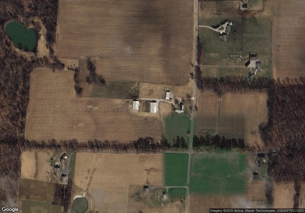
Map
Nearby Homes
- 12525 Brosius Rd
- 12707 Brosius Rd
- 12947 Brosius Rd
- 12954 State Route 88
- 12157 State Route 88
- 12977 Main Market Rd
- 16790 Main Market Rd
- 7991 Norton Rd
- 11769 Mills Rd Unit 1
- 16663 Main Market Rd
- 16659 Main Market Rd
- 18386 Mills Rd
- 16169 Mccall Rd
- 7972 State Route 305
- 11081 Brosius Rd
- V/L 4 & 5 Center Rd
- 8127 Garfield Dr
- 8388 Garfield Dr
- 8540 Riverview Dr
- 11316 Nicholson Rd
- 12491 Prentiss Rd
- 12520 Prentiss Rd
- 12540 Prentiss Rd
- 12391 Prentiss Rd
- 12560 Prentiss Rd
- 12620 Prentiss Rd
- 8933 Ely Rd
- 8943 Ely Rd
- 12650 Prentiss Rd
- 12569 Nelson Parkman Rd
- 12221 Prentiss Rd
- 9142 Ely Rd
- 12220 Prentiss Rd
- 9094 Ely Rd
- 8895 Ely Rd
- 12509 Nelson Parkman Rd
- 9026 Ely Rd
- 12189 Prentiss Rd
- VL Ely Rd
- 12599 Nelson Parkman Rd