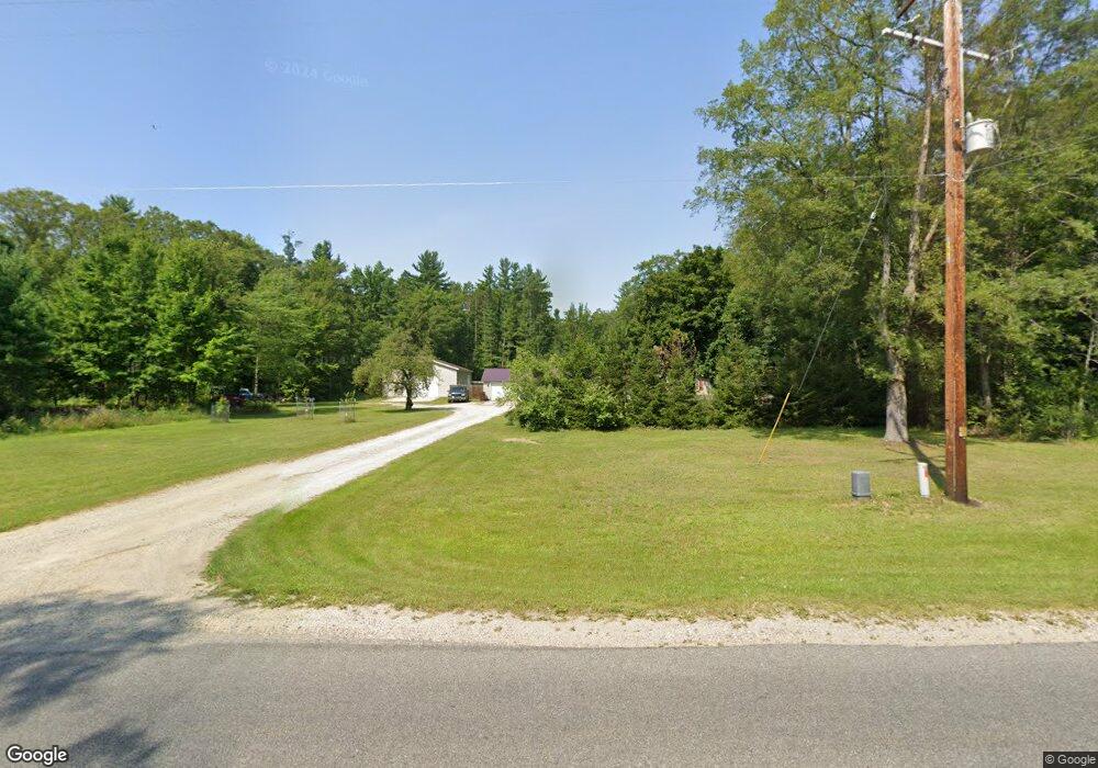
12495 190th Ave Big Rapids, MI 49307
Estimated Value: $278,655 - $440,000
3
Beds
3
Baths
1,722
Sq Ft
$205/Sq Ft
Est. Value
About This Home
This home is located at 12495 190th Ave, Big Rapids, MI 49307 and is currently estimated at $353,552, approximately $205 per square foot. 12495 190th Ave is a home located in Mecosta County with nearby schools including Morley Stanwood Elementary School, Morley Stanwood Middle School, and Morley Stanwood High School.
Ownership History
Date
Name
Owned For
Owner Type
Purchase Details
Closed on
Dec 17, 2024
Sold by
Peacock Darwin W and Peacock Barbara A
Bought by
Darwin W Peacock And Barbara A Peacock Revoca and Peacock
Current Estimated Value
Purchase Details
Closed on
Aug 6, 2004
Sold by
Erskine Matthew and Erskine Holly
Bought by
Peacock Darwin W and Peacock Barbara A
Home Financials for this Owner
Home Financials are based on the most recent Mortgage that was taken out on this home.
Original Mortgage
$142,500
Interest Rate
6.1%
Mortgage Type
New Conventional
Create a Home Valuation Report for This Property
The Home Valuation Report is an in-depth analysis detailing your home's value as well as a comparison with similar homes in the area
Home Values in the Area
Average Home Value in this Area
Purchase History
| Date | Buyer | Sale Price | Title Company |
|---|---|---|---|
| Darwin W Peacock And Barbara A Peacock Revoca | -- | None Listed On Document | |
| Darwin W Peacock And Barbara A Peacock Revoca | -- | None Listed On Document | |
| Peacock Darwin W | $150,000 | Simmons Title Agency |
Source: Public Records
Mortgage History
| Date | Status | Borrower | Loan Amount |
|---|---|---|---|
| Previous Owner | Peacock Darwin W | $142,500 |
Source: Public Records
Tax History
| Year | Tax Paid | Tax Assessment Tax Assessment Total Assessment is a certain percentage of the fair market value that is determined by local assessors to be the total taxable value of land and additions on the property. | Land | Improvement |
|---|---|---|---|---|
| 2025 | $2,255 | $123,600 | $0 | $0 |
| 2024 | -- | $117,000 | $0 | $0 |
| 2023 | -- | $102,900 | $0 | $0 |
| 2022 | $0 | $88,700 | $0 | $0 |
Source: Public Records
Map
Nearby Homes
- 18685 Kreig Dr
- 13692 Northland Dr
- 19077 12 Mile Rd
- 19400 14 Mile Rd
- 19117 Joslin Cir
- 19070 Joslin Cir
- 12260 183rd Ave
- 11285 Northland Dr
- 11621 Riverside Dr
- 10765 Northland Dr
- 17339 Mckinley Rd
- 00 Saux Ln
- 11137 192nd Ave
- 20425 Thornapple Ln
- 0 Edgewood Dr
- 14080 Heritage Dr
- 17190 Apollo Dr
- 17430 Valley Dr
- 17220 Valley Dr
- 14130 Wildwood Dr
- 18966 13 Mile Rd
- 12228 190th Ave
- 12196 190th Ave
- 12060 190th Ave
- 12024 190th Ave
- 12088 190th Ave
- 12260 190th Ave
- 12286 190th Ave
- 12520 190th Ave
- 12125 190th Ave
- 12265 190th Ave
- 12301 190th Ave
- 12321 190th Ave
- 12395 190th Ave
- 12435 190th Ave
- 12909 190th Ave
- 12910 190th Ave
- 12785 190th Ave
- 12690 190th Ave
- 12765 190th Ave
Your Personal Tour Guide
Ask me questions while you tour the home.