12498N Dupont Rd Hurley, WI 54534
Estimated Value: $147,000 - $224,802
--
Bed
--
Bath
--
Sq Ft
39.22
Acres
About This Home
This home is located at 12498N Dupont Rd, Hurley, WI 54534 and is currently estimated at $185,901. 12498N Dupont Rd is a home located in Iron County with nearby schools including Hurley Elementary School, Hurley High School, and All Saints Catholic Academy.
Ownership History
Date
Name
Owned For
Owner Type
Purchase Details
Closed on
Mar 15, 2021
Sold by
Miller William Glenn and Miller Patricia Ann
Bought by
Doucette Julie A
Current Estimated Value
Home Financials for this Owner
Home Financials are based on the most recent Mortgage that was taken out on this home.
Original Mortgage
$148,500
Outstanding Balance
$133,120
Interest Rate
2.7%
Mortgage Type
New Conventional
Estimated Equity
$52,781
Create a Home Valuation Report for This Property
The Home Valuation Report is an in-depth analysis detailing your home's value as well as a comparison with similar homes in the area
Home Values in the Area
Average Home Value in this Area
Purchase History
| Date | Buyer | Sale Price | Title Company |
|---|---|---|---|
| Doucette Julie A | $165,000 | Associated Title & Closing S |
Source: Public Records
Mortgage History
| Date | Status | Borrower | Loan Amount |
|---|---|---|---|
| Open | Doucette Julie A | $148,500 |
Source: Public Records
Tax History Compared to Growth
Tax History
| Year | Tax Paid | Tax Assessment Tax Assessment Total Assessment is a certain percentage of the fair market value that is determined by local assessors to be the total taxable value of land and additions on the property. | Land | Improvement |
|---|---|---|---|---|
| 2024 | $1,119 | $91,800 | $36,600 | $55,200 |
| 2023 | $984 | $91,800 | $36,600 | $55,200 |
| 2022 | $1,037 | $91,800 | $36,600 | $55,200 |
| 2021 | $1,032 | $91,800 | $36,600 | $55,200 |
| 2020 | $1,191 | $91,800 | $36,600 | $55,200 |
| 2019 | $1,215 | $91,800 | $36,600 | $55,200 |
| 2018 | $1,282 | $91,800 | $36,600 | $55,200 |
| 2017 | $1,264 | $91,800 | $36,600 | $55,200 |
| 2016 | $1,256 | $91,800 | $36,600 | $55,200 |
| 2015 | $1,181 | $91,800 | $36,600 | $55,200 |
| 2014 | $1,181 | $91,800 | $36,600 | $55,200 |
| 2013 | $1,367 | $91,800 | $36,600 | $55,200 |
Source: Public Records
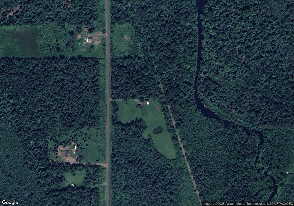
Map
Nearby Homes
- 12248 Dupont Rd
- 661 S Range Rd
- 235 W Birch St
- 227 W Birch St
- 124 Poplar St
- 338 E Tamarack St
- 325 E Houk St
- 400 Silver St
- 202 Copper St
- 334 W Ayer St
- 235 S Curry St
- 115 E Ayer St
- 213 S Mansfield St
- 235 1/2 W Norrie St
- 134 S Mansfield St
- 221 Frenchtown Rd
- 11868 S Carey Dr
- 101 S Mansfield St
- 509 Poplar St
- 112 W Pewabic St
- 12545N Dupont Rd
- ON Dupont Rd
- N9049 Riverside Rd
- N9088 Riverside Rd
- 12502N Old 10 Rd
- E5148 E Riverside Rd
- 5125 W Norrie Park Rd
- 5201 W Pioneer Rd
- E5196 E Riverside Rd
- 12604N Us Highway 51
- N8971 Riverside Rd
- N9121 Southrange Rd
- E5789 Norrie Park Rd
- 12267N Old 10 Rd
- 12445 U S 51
- 5201 W Norrie Park Rd
- 368 W Norrie Park Rd
- 5590 W Pioneer Rd
- 4966 W Spruce Rd
- N12362 Dupont Rd