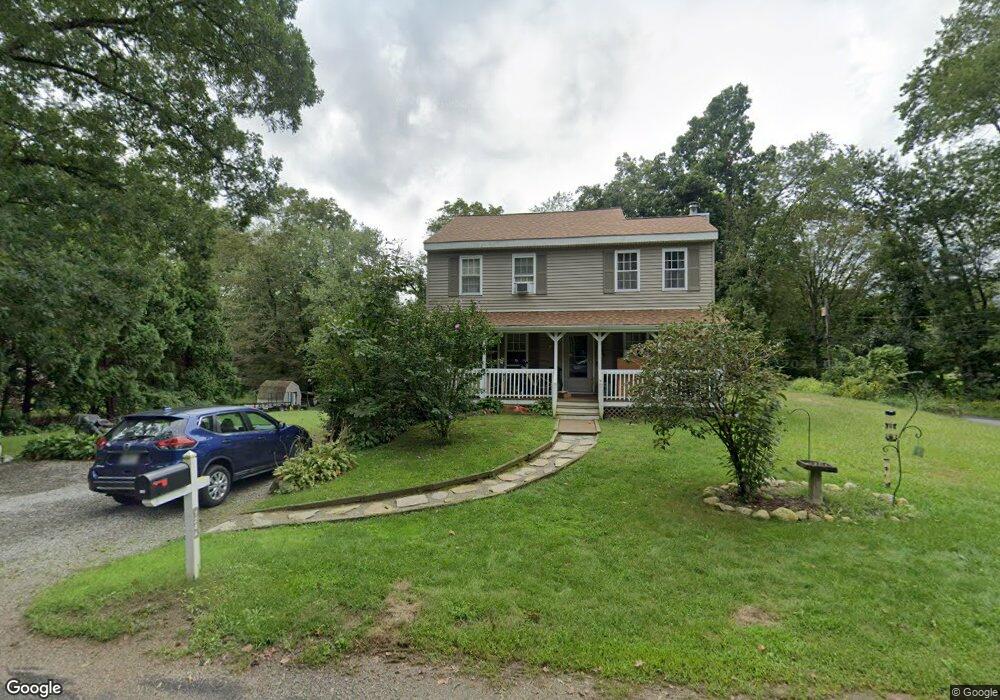
124A Johnson Rd Foster, RI 02825
Estimated Value: $424,456 - $541,000
3
Beds
1
Bath
1,494
Sq Ft
$319/Sq Ft
Est. Value
About This Home
This home is located at 124A Johnson Rd, Foster, RI 02825 and is currently estimated at $476,614, approximately $319 per square foot. 124A Johnson Rd is a home located in Providence County with nearby schools including Capt. Isaac Paine El. School, Ponaganset Middle School, and Ponaganset High School.
Ownership History
Date
Name
Owned For
Owner Type
Purchase Details
Closed on
Jan 25, 1999
Sold by
Langdeau Ray and Langdeau Jeanne
Bought by
Chippendale Michael W and Chippendale Sherri
Current Estimated Value
Home Financials for this Owner
Home Financials are based on the most recent Mortgage that was taken out on this home.
Original Mortgage
$111,150
Interest Rate
6.7%
Purchase Details
Closed on
Apr 8, 1992
Sold by
Lakotta Michael F
Bought by
Langdeau Ray
Home Financials for this Owner
Home Financials are based on the most recent Mortgage that was taken out on this home.
Original Mortgage
$66,328
Interest Rate
8.73%
Create a Home Valuation Report for This Property
The Home Valuation Report is an in-depth analysis detailing your home's value as well as a comparison with similar homes in the area
Home Values in the Area
Average Home Value in this Area
Purchase History
| Date | Buyer | Sale Price | Title Company |
|---|---|---|---|
| Chippendale Michael W | $117,000 | -- | |
| Langdeau Ray | $66,000 | -- |
Source: Public Records
Mortgage History
| Date | Status | Borrower | Loan Amount |
|---|---|---|---|
| Open | Langdeau Ray | $125,000 | |
| Closed | Langdeau Ray | $114,000 | |
| Closed | Langdeau Ray | $111,150 | |
| Previous Owner | Langdeau Ray | $66,328 |
Source: Public Records
Tax History
| Year | Tax Paid | Tax Assessment Tax Assessment Total Assessment is a certain percentage of the fair market value that is determined by local assessors to be the total taxable value of land and additions on the property. | Land | Improvement |
|---|---|---|---|---|
| 2024 | $6,988 | $335,500 | $99,500 | $236,000 |
| 2023 | $5,633 | $248,500 | $76,500 | $172,000 |
| 2022 | $5,457 | $248,500 | $76,500 | $172,000 |
| 2021 | $5,303 | $248,500 | $76,500 | $172,000 |
| 2020 | $4,867 | $204,600 | $66,500 | $138,100 |
| 2018 | $4,673 | $204,600 | $66,500 | $138,100 |
| 2017 | $4,631 | $199,200 | $66,500 | $132,700 |
| 2015 | $4,267 | $199,200 | $66,500 | $132,700 |
| 2014 | $4,328 | $205,500 | $66,700 | $138,800 |
Source: Public Records
Map
Nearby Homes
- 55 Howard Hill Rd
- 188 Danielson Pike
- 93 Moosup Valley Rd
- 29 Luther Rd
- 18 King Rd
- 120 Danielson Pike
- 91 Danielson Pike
- 29 Mount Hygeia Rd
- 0 Victory Hwy
- 118 Saw Mill Hill Rd
- 980 Plainfield Pike
- 119 E Killingly Rd
- 23 Bailey Hill Village
- 260 George Washington Hwy
- 26 Danielson Pike
- 395 Bailey Hill Rd
- 0 Danielson Pike Unit 1401747
- 0 Danielson Pike Unit 1401673
- 0 Danielson Pike Unit 1347736
- 34 Hicks Way
- 124 Johnson Rd
- 103A S Killingly Rd
- 103A S Killingly Rd
- 103 S Killingly Rd
- 104 S Killingly Rd
- 0 0killingly Rd Pole 7 S Unit EC30214261
- 123 Johnson Rd
- 122 Johnson Rd
- 105A S Killingly Rd
- 0 S Killingly Rd Unit 312963
- 0 S Killingly Rd Unit 306429
- 0 S Killingly Rd Unit 306446
- 0 S Killingly Rd Unit 556698
- 0 S Killingly Rd Unit 13581
- 0 S Killingly Rd Unit 17270
- 0 S Killingly Rd Unit 558110
- 0 S Killingly Rd Unit 919056
- 0 S Killingly Rd Unit 917357
- 0 S Killingly Rd Unit 212741
- 0 S Killingly Rd Unit 212743
Your Personal Tour Guide
Ask me questions while you tour the home.