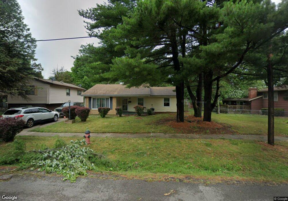
125 Adloff Ln Springfield, IL 62703
Glen Aire NeighborhoodEstimated Value: $109,000 - $182,000
3
Beds
2
Baths
1,344
Sq Ft
$103/Sq Ft
Est. Value
About This Home
This home is located at 125 Adloff Ln, Springfield, IL 62703 and is currently estimated at $138,743, approximately $103 per square foot. 125 Adloff Ln is a home located in Sangamon County with nearby schools including Laketown Elementary School, Jefferson Middle School, and Springfield Southeast High School.
Ownership History
Date
Name
Owned For
Owner Type
Purchase Details
Closed on
Aug 9, 2024
Sold by
Pryor Patricia I and Boston Patricia I
Bought by
Hannah Charlotte A
Current Estimated Value
Home Financials for this Owner
Home Financials are based on the most recent Mortgage that was taken out on this home.
Original Mortgage
$94,055
Outstanding Balance
$93,007
Interest Rate
6.95%
Mortgage Type
New Conventional
Estimated Equity
$45,736
Purchase Details
Closed on
Nov 29, 2012
Purchase Details
Closed on
Jul 3, 2003
Create a Home Valuation Report for This Property
The Home Valuation Report is an in-depth analysis detailing your home's value as well as a comparison with similar homes in the area
Home Values in the Area
Average Home Value in this Area
Purchase History
| Date | Buyer | Sale Price | Title Company |
|---|---|---|---|
| Hannah Charlotte A | $102,000 | None Listed On Document | |
| -- | -- | -- | |
| -- | $76,000 | -- |
Source: Public Records
Mortgage History
| Date | Status | Borrower | Loan Amount |
|---|---|---|---|
| Open | Hannah Charlotte A | $94,055 |
Source: Public Records
Tax History
| Year | Tax Paid | Tax Assessment Tax Assessment Total Assessment is a certain percentage of the fair market value that is determined by local assessors to be the total taxable value of land and additions on the property. | Land | Improvement |
|---|---|---|---|---|
| 2024 | $3,117 | $37,112 | $6,761 | $30,351 |
| 2023 | $2,467 | $33,899 | $6,176 | $27,723 |
| 2022 | $2,317 | $31,861 | $5,858 | $26,003 |
| 2021 | $2,220 | $30,668 | $5,639 | $25,029 |
| 2020 | $2,177 | $30,714 | $5,647 | $25,067 |
| 2019 | $2,135 | $30,607 | $5,627 | $24,980 |
| 2018 | $2,074 | $30,546 | $5,600 | $24,946 |
| 2017 | $2,024 | $30,151 | $5,528 | $24,623 |
| 2016 | $1,977 | $29,711 | $5,447 | $24,264 |
| 2015 | $1,952 | $29,356 | $5,382 | $23,974 |
| 2014 | $1,875 | $29,166 | $5,347 | $23,819 |
| 2013 | $1,833 | $28,628 | $5,347 | $23,281 |
Source: Public Records
Map
Nearby Homes
- 2632 Steiler Place
- 2709 Carl Prairie Dr
- 108 Glen Aire Dr
- 2906 Taylor Ave Unit 11
- 2900 Taylor Ave Unit 4
- 10 Radcliff Rd
- 2875 Taylor Ave
- 3012 Taylor Ave Unit 58
- 2800 Via Rosso St Unit 147
- 2800 Via Rosso St Unit 605
- 3100 Butler St Unit 1833
- 1800 E Stanford Ave Unit 1
- Lot 1 & 2 Bunn Dr
- 2941 Hoover Ave
- 3518 Sheffield Rd Unit 1
- 3300 Stanton St Unit 1
- 3001 Hoover Ave
- 3301 Stanton St Unit 1
- 2800 S Woodward St
- 2025 E Hood St Unit 1
Your Personal Tour Guide
Ask me questions while you tour the home.