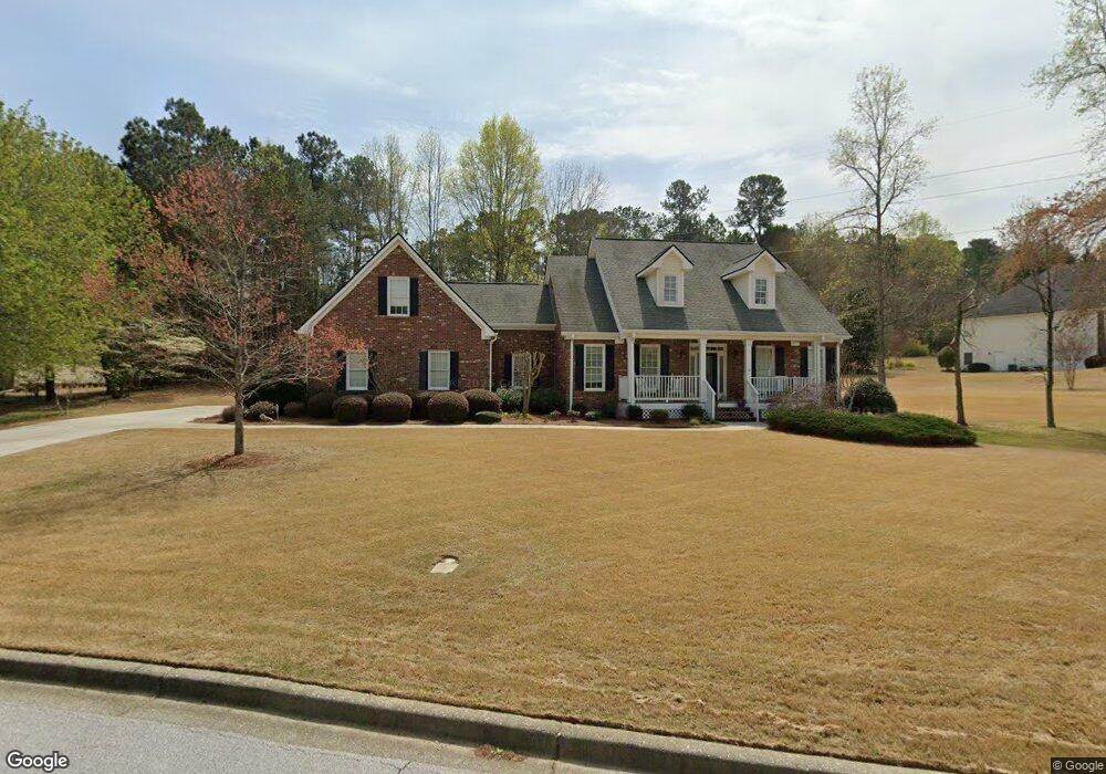
125 Amberbrook Cir Unit 1 Grayson, GA 30017
Estimated Value: $442,889 - $452,000
4
Beds
3
Baths
2,334
Sq Ft
$192/Sq Ft
Est. Value
About This Home
This home is located at 125 Amberbrook Cir Unit 1, Grayson, GA 30017 and is currently estimated at $448,472, approximately $192 per square foot. 125 Amberbrook Cir Unit 1 is a home located in Gwinnett County with nearby schools including Grayson Elementary School, Bay Creek Middle School, and Grayson High School.
Ownership History
Date
Name
Owned For
Owner Type
Purchase Details
Closed on
Apr 27, 2001
Sold by
Personalized Homes Inc
Bought by
Rhinehart James W and Rhinehart Claire M
Current Estimated Value
Home Financials for this Owner
Home Financials are based on the most recent Mortgage that was taken out on this home.
Original Mortgage
$98,000
Outstanding Balance
$35,498
Interest Rate
6.95%
Mortgage Type
New Conventional
Estimated Equity
$412,974
Create a Home Valuation Report for This Property
The Home Valuation Report is an in-depth analysis detailing your home's value as well as a comparison with similar homes in the area
Home Values in the Area
Average Home Value in this Area
Purchase History
| Date | Buyer | Sale Price | Title Company |
|---|---|---|---|
| Rhinehart James W | $232,900 | -- |
Source: Public Records
Mortgage History
| Date | Status | Borrower | Loan Amount |
|---|---|---|---|
| Open | Rhinehart James W | $98,000 |
Source: Public Records
Tax History Compared to Growth
Tax History
| Year | Tax Paid | Tax Assessment Tax Assessment Total Assessment is a certain percentage of the fair market value that is determined by local assessors to be the total taxable value of land and additions on the property. | Land | Improvement |
|---|---|---|---|---|
| 2025 | $1,705 | $188,080 | $37,640 | $150,440 |
| 2024 | $1,701 | $169,840 | $37,640 | $132,200 |
| 2023 | $1,701 | $188,600 | $37,360 | $151,240 |
| 2022 | $0 | $155,080 | $31,760 | $123,320 |
| 2021 | $1,610 | $126,720 | $25,600 | $101,120 |
| 2020 | $1,608 | $126,720 | $25,600 | $101,120 |
| 2019 | $1,487 | $117,200 | $25,600 | $91,600 |
| 2018 | $1,461 | $109,920 | $22,160 | $87,760 |
| 2016 | $1,480 | $85,640 | $22,160 | $63,480 |
| 2015 | $1,385 | $78,880 | $12,360 | $66,520 |
| 2014 | -- | $78,880 | $12,360 | $66,520 |
Source: Public Records
Map
Nearby Homes
- 455 Herring Rd
- 520 Herring Rd
- 25 Kaktovic Ct SE
- 265 Amberbrook Cir
- 2295 Amberbrook Ln
- 2474 Starfire Ln Unit 2
- 545 Herring Rd
- 575 Herring Rd
- 2607 Misty Rose Ln
- 2249 Cluster Ln
- 2408 Camellia Allee Ct
- 2590 Camp Mitchell Rd
- 229 Chloe Dianne Dr
- 556 Wine Cluster Ct
- 2380 Camp Mitchell Rd
- 2596 Camp Mitchell Rd
- 178 Mission Oak Dr
- 2557 Bay Crest Ln
- 89 Mission Oak Dr
- 2210 Grayfield Dr
- 2435 Amberbrook Ln
- 135 Amberbrook Cir
- 2425 Amberbrook Ln
- 2450 Amberbrook Ln
- 2430 Amberbrook Ln
- 2415 Amberbrook Ln Unit 1
- 390 Herring Rd
- 2420 Amberbrook Ln Unit 1
- 150 Amberbrook Cir
- 2470 Amberbrook Ln Unit A/40
- 2470 Amberbrook Ln
- 2410 Amberbrook Ln
- 155 Amberbrook Cir
- 2400 Amberbrook Ln Unit 1
- 2332 Tollwood Ct Unit 1
- 2332 Tollwood Ct
- 2480 Amberbrook Ln
- 160 Amberbrook Cir
- 2337 Tollwood Ct
- 430 Herring Rd