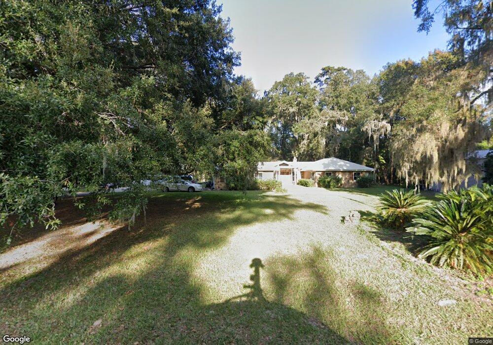
125 Apache Rd Brunswick, GA 31525
Estimated Value: $394,000 - $526,923
4
Beds
3
Baths
2,680
Sq Ft
$167/Sq Ft
Est. Value
About This Home
This home is located at 125 Apache Rd, Brunswick, GA 31525 and is currently estimated at $447,731, approximately $167 per square foot. 125 Apache Rd is a home located in Glynn County with nearby schools including Greer Elementary School, Needwood Middle School, and Brunswick High School.
Ownership History
Date
Name
Owned For
Owner Type
Purchase Details
Closed on
May 13, 2005
Sold by
Medders Robert L
Bought by
Graham Debra S and Graham Richard S
Current Estimated Value
Home Financials for this Owner
Home Financials are based on the most recent Mortgage that was taken out on this home.
Original Mortgage
$200,000
Interest Rate
5.8%
Mortgage Type
New Conventional
Create a Home Valuation Report for This Property
The Home Valuation Report is an in-depth analysis detailing your home's value as well as a comparison with similar homes in the area
Purchase History
| Date | Buyer | Sale Price | Title Company |
|---|---|---|---|
| Graham Debra S | $275,000 | -- |
Source: Public Records
Mortgage History
| Date | Status | Borrower | Loan Amount |
|---|---|---|---|
| Closed | Graham Debra S | $200,000 |
Source: Public Records
Tax History
| Year | Tax Paid | Tax Assessment Tax Assessment Total Assessment is a certain percentage of the fair market value that is determined by local assessors to be the total taxable value of land and additions on the property. | Land | Improvement |
|---|---|---|---|---|
| 2025 | $4,276 | $170,520 | $50,960 | $119,560 |
| 2024 | $4,023 | $160,400 | $50,840 | $109,560 |
| 2023 | $1,828 | $160,400 | $50,840 | $109,560 |
| 2022 | $2,254 | $139,000 | $50,840 | $88,160 |
| 2021 | $2,320 | $133,920 | $50,840 | $83,080 |
| 2020 | $2,340 | $126,920 | $50,840 | $76,080 |
| 2019 | $2,340 | $119,880 | $43,800 | $76,080 |
| 2018 | $2,735 | $105,920 | $43,800 | $62,120 |
| 2017 | $2,735 | $105,920 | $43,800 | $62,120 |
| 2016 | $2,534 | $116,400 | $43,800 | $72,600 |
| 2015 | $2,546 | $122,200 | $56,560 | $65,640 |
| 2014 | $2,546 | $122,200 | $56,560 | $65,640 |
Source: Public Records
Map
Nearby Homes
- 161 Navajo Rd
- 111 Seminole Rd
- 5410 Us Highway 17 N
- 5410 Us Highway 17 N
- 5410 17 Hwy N
- 0 Georgia 99
- 7360 Georgia 99
- 7340 Georgia 99
- 1065 Lakes Blvd
- 386 Belmont Cir
- 94 Allie Loop
- 1062 Lakes Blvd
- 122 Allie Loop
- 1055 Lakes Blvd
- 229 Allie Loop
- 1045 Lakes Blvd
- 1043 Lakes Blvd
- 227 Allie Loop
- 1041 Lakes Blvd
- 219 Allie Loop
- 105 Apache Rd
- 195 Comanche Rd
- 194 Comanche Rd
- 163 Apache Rd
- 211 Choctaw Rd
- 461 Choctaw Square
- 195 Seminole Rd
- 175 Comanche Rd
- 197 Choctaw Rd
- 176 Choctaw Rd
- 183 Choctaw Rd
- 177 Seminole Rd
- 445 Choctaw Square
- 446 Choctaw Square
- 189 Apache Rd
- 346 Choctaw Square
- 162 Comanche Rd
- 184 Apache Rd
- 437 Choctaw Square
- 197 Apache Rd
Your Personal Tour Guide
Ask me questions while you tour the home.