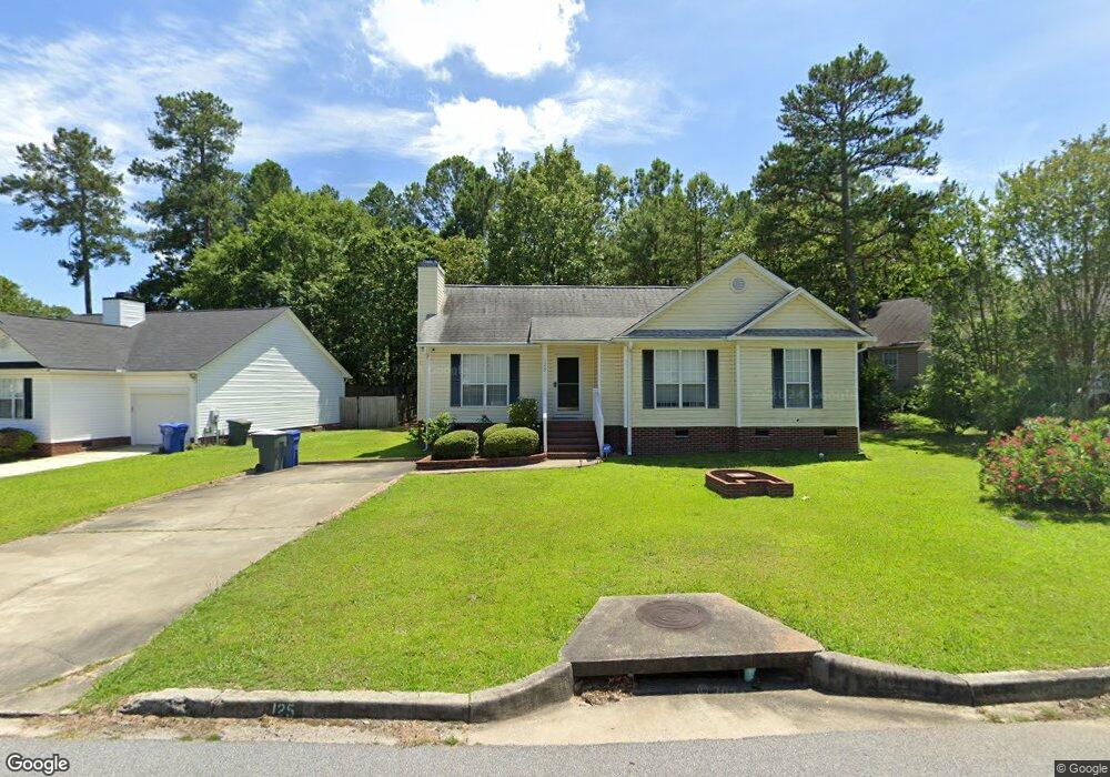
125 Arborgate Cir Columbia, SC 29212
Saint Andrews NeighborhoodEstimated Value: $206,000 - $237,000
3
Beds
2
Baths
1,507
Sq Ft
$148/Sq Ft
Est. Value
About This Home
This home is located at 125 Arborgate Cir, Columbia, SC 29212 and is currently estimated at $223,015, approximately $147 per square foot. 125 Arborgate Cir is a home located in Richland County with nearby schools including Harbison West Elementary School, Irmo Middle, and Irmo High.
Ownership History
Date
Name
Owned For
Owner Type
Purchase Details
Closed on
Sep 15, 2015
Sold by
Baughman Thomas F
Bought by
Pope Cassandra L
Current Estimated Value
Home Financials for this Owner
Home Financials are based on the most recent Mortgage that was taken out on this home.
Original Mortgage
$5,000
Outstanding Balance
$3,931
Interest Rate
3.94%
Estimated Equity
$219,084
Purchase Details
Closed on
Dec 18, 2013
Sold by
Estate Of Florence Christine Baughman
Bought by
Brushman Thomas F
Create a Home Valuation Report for This Property
The Home Valuation Report is an in-depth analysis detailing your home's value as well as a comparison with similar homes in the area
Home Values in the Area
Average Home Value in this Area
Purchase History
| Date | Buyer | Sale Price | Title Company |
|---|---|---|---|
| Pope Cassandra L | $48,653 | -- | |
| Brushman Thomas F | -- | None Available |
Source: Public Records
Mortgage History
| Date | Status | Borrower | Loan Amount |
|---|---|---|---|
| Open | Pope Cassandra L | $5,000 | |
| Open | Pope Cassandra L | $112,917 |
Source: Public Records
Tax History Compared to Growth
Tax History
| Year | Tax Paid | Tax Assessment Tax Assessment Total Assessment is a certain percentage of the fair market value that is determined by local assessors to be the total taxable value of land and additions on the property. | Land | Improvement |
|---|---|---|---|---|
| 2024 | $920 | $122,900 | $0 | $0 |
| 2023 | $920 | $4,276 | $0 | $0 |
| 2022 | $800 | $106,900 | $18,000 | $88,900 |
| 2021 | $825 | $4,280 | $0 | $0 |
| 2020 | $894 | $4,280 | $0 | $0 |
| 2019 | $900 | $4,280 | $0 | $0 |
| 2018 | $874 | $4,600 | $0 | $0 |
| 2017 | $849 | $4,600 | $0 | $0 |
| 2016 | $817 | $4,600 | $0 | $0 |
| 2015 | $269 | $3,460 | $0 | $0 |
| 2014 | $278 | $86,500 | $0 | $0 |
| 2013 | -- | $3,460 | $0 | $0 |
Source: Public Records
Map
Nearby Homes
- 153 Arborgate Cir
- 102 Prairie Grass Way
- 112 Prairie Grass Way
- 114 Prairie Grass Way
- 108 Prairie Grass Way
- 110 Prairie Grass Way
- 104 Prairie Grass Way
- 340 Ryegrass Way
- 119 Prairie Grass Way
- 121 Prairie Grass Way
- 117 Prairie Grass Way
- 338 Ryegrass Way
- 203 Fescue Dr
- 18 Southpine Ct
- 54 Westpine Ct
- 43 Westgrove Ct
- 19 Woodpond Ct
- 15 Woodpine Ct
- 13 Spring Pine Ct
- 11 Spring Pine Ct
- 121 Arborgate Cir
- 129 Arborgate Cir
- 1 Arborvine Ct
- 133 Arborgate Cir
- 117 Arborgate Cir
- 124 Arborgate Cir
- 122 Arborgate Cir
- 126 Arborgate Cir
- 120 Arborgate Cir
- 118 Arborgate Cir
- 113 Arborgate Cir
- 137 Arborgate Cir
- 5 Arborvine Ct
- 116 Arborgate Cir
- 2 Arborvine Ct
- 109 Arborgate Cir
- 141 Arborgate Cir
- 114 Arborgate Cir
- 6 Arborvine Ct
- 105 Arborgate Cir