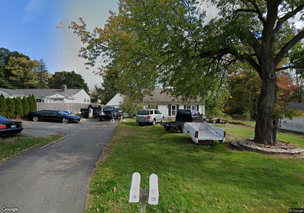
125 Avery St Manchester, CT 06042
Estimated Value: $340,000 - $366,414
3
Beds
2
Baths
1,686
Sq Ft
$210/Sq Ft
Est. Value
About This Home
This home is located at 125 Avery St, Manchester, CT 06042 and is currently estimated at $354,104, approximately $210 per square foot. 125 Avery St is a home located in Hartford County with nearby schools including Robertson School, Illing Middle School, and Elisabeth M. Bennet Academy.
Ownership History
Date
Name
Owned For
Owner Type
Purchase Details
Closed on
Sep 27, 2010
Sold by
Freeman William F
Bought by
Chaudhry Waheed and Chaudhry Quratulain
Current Estimated Value
Home Financials for this Owner
Home Financials are based on the most recent Mortgage that was taken out on this home.
Original Mortgage
$140,000
Outstanding Balance
$92,994
Interest Rate
4.48%
Estimated Equity
$261,110
Create a Home Valuation Report for This Property
The Home Valuation Report is an in-depth analysis detailing your home's value as well as a comparison with similar homes in the area
Home Values in the Area
Average Home Value in this Area
Purchase History
| Date | Buyer | Sale Price | Title Company |
|---|---|---|---|
| Chaudhry Waheed | $185,000 | -- | |
| Chaudhry Waheed | $185,000 | -- |
Source: Public Records
Mortgage History
| Date | Status | Borrower | Loan Amount |
|---|---|---|---|
| Open | Chaudhry Waheed | $140,000 | |
| Closed | Chaudhry Waheed | $140,000 |
Source: Public Records
Tax History
| Year | Tax Paid | Tax Assessment Tax Assessment Total Assessment is a certain percentage of the fair market value that is determined by local assessors to be the total taxable value of land and additions on the property. | Land | Improvement |
|---|---|---|---|---|
| 2025 | $6,335 | $159,100 | $33,800 | $125,300 |
| 2024 | $6,154 | $159,100 | $33,800 | $125,300 |
| 2023 | $5,919 | $159,100 | $33,800 | $125,300 |
| 2022 | $5,747 | $159,100 | $33,800 | $125,300 |
| 2021 | $5,162 | $123,100 | $30,800 | $92,300 |
| 2020 | $5,154 | $123,100 | $30,800 | $92,300 |
| 2019 | $5,133 | $123,100 | $30,800 | $92,300 |
| 2018 | $5,036 | $123,100 | $30,800 | $92,300 |
| 2017 | $4,893 | $123,100 | $30,800 | $92,300 |
| 2016 | $5,226 | $131,700 | $40,300 | $91,400 |
| 2015 | $5,189 | $131,700 | $40,300 | $91,400 |
| 2014 | $5,090 | $131,700 | $40,300 | $91,400 |
Source: Public Records
Map
Nearby Homes
- 33 Imperial Dr
- 47 Nolan Cir Unit 47
- 348 Avery St
- 206 Oakland St
- 11 Allison Rd
- 36 Cardinal Way
- 136 Gilbert Ln
- 112 Gilbert Ln
- 52 Woodland Dr
- 335 Grissom Rd
- 95 Gianna Dr Unit 95
- 325 Kelly Rd Unit TRLR R19
- 325 Kelly Rd Unit TRLR A6
- 325 Kelly Rd Unit TRLR S9
- 49 Deepwood Dr
- 13 Oak Forest Dr Unit 6
- 45 Doane St
- 40 Grove St Unit B
- 415 Woodbridge St
- 85 Henry St
Your Personal Tour Guide
Ask me questions while you tour the home.