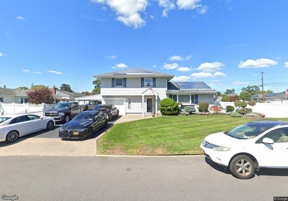
125 Barnum St West Babylon, NY 11704
Estimated Value: $584,643 - $704,000
--
Bed
1
Bath
1,520
Sq Ft
$427/Sq Ft
Est. Value
About This Home
This home is located at 125 Barnum St, West Babylon, NY 11704 and is currently estimated at $648,661, approximately $426 per square foot. 125 Barnum St is a home located in Suffolk County with nearby schools including Robert Moses Middle School and North Babylon High School.
Ownership History
Date
Name
Owned For
Owner Type
Purchase Details
Closed on
Aug 11, 1998
Sold by
Cohen Jay Harold and Cohen Loretta
Bought by
Sollecito Vincent M and Sollecito Regina
Current Estimated Value
Home Financials for this Owner
Home Financials are based on the most recent Mortgage that was taken out on this home.
Original Mortgage
$107,000
Outstanding Balance
$22,322
Interest Rate
6.92%
Estimated Equity
$626,339
Create a Home Valuation Report for This Property
The Home Valuation Report is an in-depth analysis detailing your home's value as well as a comparison with similar homes in the area
Home Values in the Area
Average Home Value in this Area
Purchase History
| Date | Buyer | Sale Price | Title Company |
|---|---|---|---|
| Sollecito Vincent M | $167,000 | Stewart Title Insurance Co |
Source: Public Records
Mortgage History
| Date | Status | Borrower | Loan Amount |
|---|---|---|---|
| Open | Sollecito Vincent M | $107,000 |
Source: Public Records
Tax History Compared to Growth
Tax History
| Year | Tax Paid | Tax Assessment Tax Assessment Total Assessment is a certain percentage of the fair market value that is determined by local assessors to be the total taxable value of land and additions on the property. | Land | Improvement |
|---|---|---|---|---|
| 2024 | $10,541 | $3,370 | $300 | $3,070 |
| 2023 | $10,541 | $3,370 | $300 | $3,070 |
| 2022 | $9,110 | $3,370 | $300 | $3,070 |
| 2021 | $9,110 | $3,370 | $300 | $3,070 |
| 2020 | $9,393 | $3,370 | $300 | $3,070 |
| 2019 | $9,393 | $0 | $0 | $0 |
| 2018 | $9,059 | $3,370 | $300 | $3,070 |
| 2017 | $9,059 | $3,370 | $300 | $3,070 |
| 2016 | $9,020 | $3,370 | $300 | $3,070 |
| 2015 | -- | $3,370 | $300 | $3,070 |
| 2014 | -- | $3,370 | $300 | $3,070 |
Source: Public Records
Map
Nearby Homes
- 652 Empire Ave
- 56 Suffolk Ave
- 135 Westchester Ave
- 155 Throop St
- 37 Seward St
- 270 Fulton St
- 21 Silver St
- 170 Van Buren St
- 1569 11th St
- 1558 9th St
- 545 Mount Ave
- 214 Chelsea Ave
- 51 Columbia St
- 325 Young St
- 64 Montgomery Ave
- 1259 America Ave
- 104 Essex St
- 340 Westchester Ave
- 130 Claremont Ave
- 17 Wright St
- 604 Empire Ave
- 95 Monarch Ave
- 0 Empire Ave
- 103 Monarch Ave
- 127 Barnum St
- 124 Barnum St
- 603 Empire Ave
- 118 Barnum St
- 612 Empire Ave
- 585 Empire Ave
- 111 Monarch Ave
- 611 Empire Ave
- 131 Barnum St
- 580 Empire Ave
- 113 Barnum St Unit 2nd Fl
- 113 Barnum St
- 108 New York Ave
- 79 Monarch Ave
- 104 Monarch Ave
- 579 Empire Ave