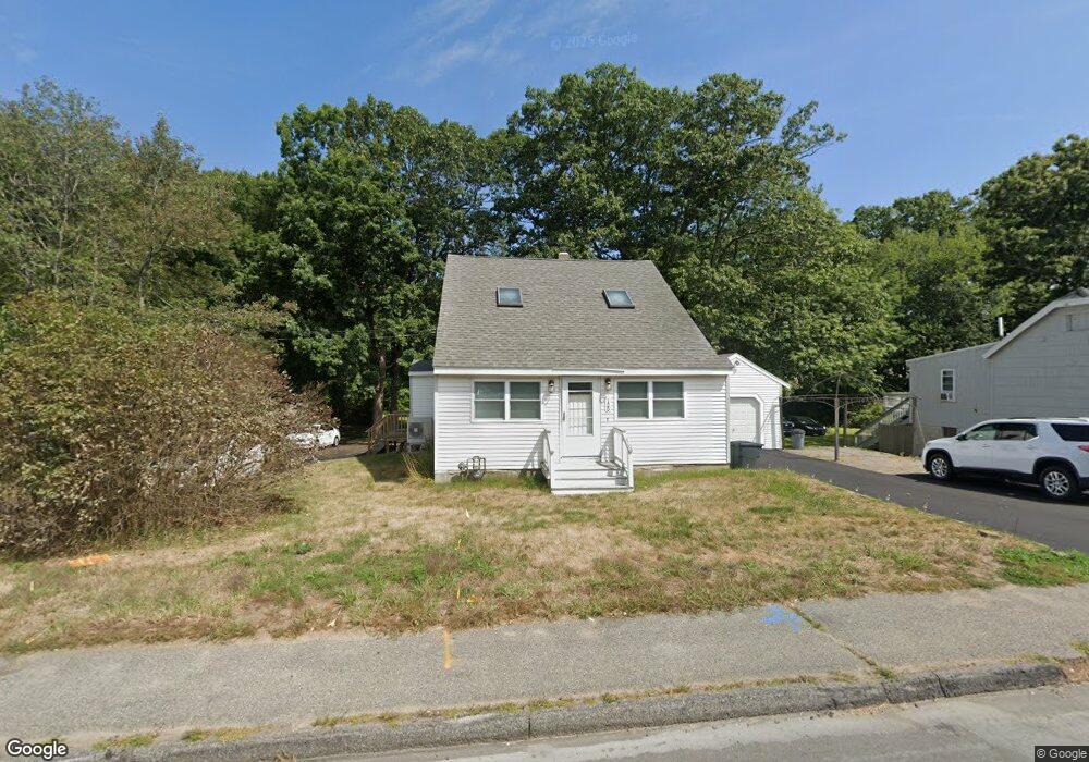
125 Beach Rd Salisbury, MA 01952
Estimated Value: $575,000 - $658,000
3
Beds
2
Baths
1,680
Sq Ft
$360/Sq Ft
Est. Value
About This Home
This home is located at 125 Beach Rd, Salisbury, MA 01952 and is currently estimated at $604,905, approximately $360 per square foot. 125 Beach Rd is a home located in Essex County with nearby schools including Triton Regional High School.
Ownership History
Date
Name
Owned For
Owner Type
Purchase Details
Closed on
Dec 27, 2021
Sold by
Macfarland Robert E
Bought by
Walsh Beach Llc
Current Estimated Value
Home Financials for this Owner
Home Financials are based on the most recent Mortgage that was taken out on this home.
Original Mortgage
$269,500
Outstanding Balance
$247,952
Interest Rate
2.98%
Mortgage Type
Purchase Money Mortgage
Estimated Equity
$356,953
Purchase Details
Closed on
Sep 29, 1993
Sold by
Fhlmc
Bought by
Anderson Kevin M and Anderson Christina
Home Financials for this Owner
Home Financials are based on the most recent Mortgage that was taken out on this home.
Original Mortgage
$51,750
Interest Rate
7%
Mortgage Type
Purchase Money Mortgage
Create a Home Valuation Report for This Property
The Home Valuation Report is an in-depth analysis detailing your home's value as well as a comparison with similar homes in the area
Home Values in the Area
Average Home Value in this Area
Purchase History
| Date | Buyer | Sale Price | Title Company |
|---|---|---|---|
| Walsh Beach Llc | $209,500 | None Available | |
| Anderson Kevin M | $54,500 | -- |
Source: Public Records
Mortgage History
| Date | Status | Borrower | Loan Amount |
|---|---|---|---|
| Open | Walsh Beach Llc | $269,500 | |
| Previous Owner | Anderson Kevin M | $166,259 | |
| Previous Owner | Anderson Kevin M | $161,000 | |
| Previous Owner | Anderson Kevin M | $125,000 | |
| Previous Owner | Anderson Kevin M | $51,750 |
Source: Public Records
Tax History
| Year | Tax Paid | Tax Assessment Tax Assessment Total Assessment is a certain percentage of the fair market value that is determined by local assessors to be the total taxable value of land and additions on the property. | Land | Improvement |
|---|---|---|---|---|
| 2025 | $4,348 | $431,300 | $197,700 | $233,600 |
| 2024 | $4,163 | $398,400 | $197,700 | $200,700 |
| 2023 | $3,256 | $376,300 | $197,700 | $178,600 |
| 2022 | $2,924 | $337,700 | $180,300 | $157,400 |
| 2021 | $3,106 | $321,800 | $180,300 | $141,500 |
| 2020 | $3,618 | $315,700 | $180,300 | $135,400 |
| 2019 | $3,076 | $286,900 | $171,800 | $115,100 |
| 2018 | $2,951 | $264,600 | $165,200 | $99,400 |
| 2017 | $2,733 | $246,600 | $150,000 | $96,600 |
| 2016 | $2,843 | $243,600 | $145,600 | $98,000 |
| 2015 | $2,720 | $231,500 | $136,900 | $94,600 |
Source: Public Records
Map
Nearby Homes
- 127 Beach Rd
- 135 Beach Rd Unit B114
- 34 Dock Ln
- 2 Old County Rd Unit 13
- 2 Old County Rd Unit 10
- 2 Old County Rd Unit 15
- 170 Beach Rd Unit 52
- 3 Lighthouse Cir Unit A
- 48 Beach Rd Unit C
- 84 Forest Rd
- 100 Forest Rd
- 20 Cable Ave Unit 5
- 16 N End Blvd Unit 8
- 16 N End Blvd Unit 3
- 16 N End Blvd Unit 7
- 16 N End Blvd Unit 12
- 16 N End Blvd Unit 5
- 16 N End Blvd Unit 9
- 114 Railroad Ave
- 103 Railroad Ave
Your Personal Tour Guide
Ask me questions while you tour the home.