125 Bernard Whitney Rd New Braintree, MA 01531
Estimated Value: $497,000 - $572,100
4
Beds
2
Baths
2,016
Sq Ft
$257/Sq Ft
Est. Value
About This Home
This home is located at 125 Bernard Whitney Rd, New Braintree, MA 01531 and is currently estimated at $518,025, approximately $256 per square foot. 125 Bernard Whitney Rd is a home located in Worcester County with nearby schools including Quabbin Regional Middle School and Quabbin Regional High School.
Ownership History
Date
Name
Owned For
Owner Type
Purchase Details
Closed on
Jan 1, 1983
Bought by
Thompson David P and Thompson Peggy W
Current Estimated Value
Create a Home Valuation Report for This Property
The Home Valuation Report is an in-depth analysis detailing your home's value as well as a comparison with similar homes in the area
Home Values in the Area
Average Home Value in this Area
Purchase History
| Date | Buyer | Sale Price | Title Company |
|---|---|---|---|
| Thompson David P | -- | -- |
Source: Public Records
Mortgage History
| Date | Status | Borrower | Loan Amount |
|---|---|---|---|
| Closed | Thompson David P | $145,000 | |
| Closed | Thompson David P | $15,000 | |
| Closed | Thompson David P | $29,500 |
Source: Public Records
Tax History Compared to Growth
Tax History
| Year | Tax Paid | Tax Assessment Tax Assessment Total Assessment is a certain percentage of the fair market value that is determined by local assessors to be the total taxable value of land and additions on the property. | Land | Improvement |
|---|---|---|---|---|
| 2025 | $68 | $458,400 | $65,100 | $393,300 |
| 2024 | $6,665 | $458,400 | $65,100 | $393,300 |
| 2023 | $6,133 | $417,800 | $65,100 | $352,700 |
| 2022 | $5,614 | $345,500 | $51,700 | $293,800 |
| 2021 | $5,769 | $330,200 | $48,600 | $281,600 |
| 2020 | $5,558 | $320,900 | $48,500 | $272,400 |
| 2019 | $5,423 | $319,000 | $48,500 | $270,500 |
| 2018 | $5,335 | $303,800 | $51,800 | $252,000 |
| 2017 | $4,981 | $275,800 | $55,000 | $220,800 |
| 2016 | $4,799 | $275,800 | $55,000 | $220,800 |
| 2015 | $4,763 | $293,300 | $61,500 | $231,800 |
| 2014 | $4,788 | $293,000 | $62,000 | $231,000 |
Source: Public Records
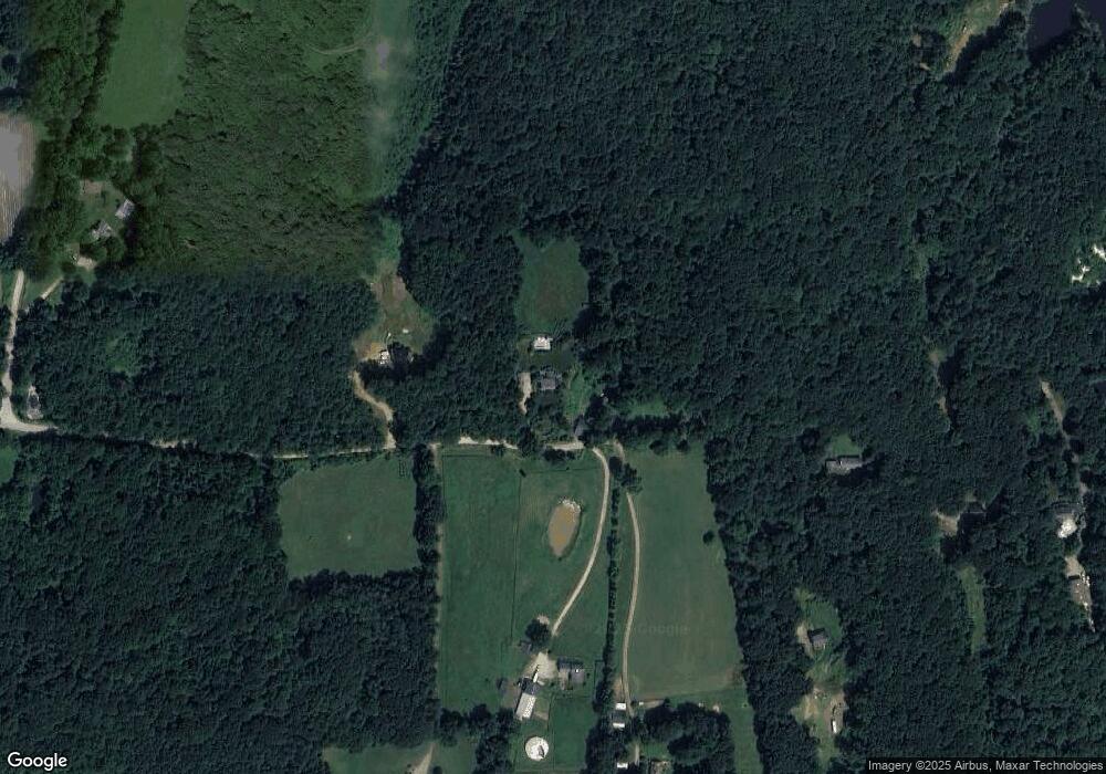
Map
Nearby Homes
- 1940 Barre Rd
- 1109 New Braintree Rd
- 716 Hardwick Rd
- 379 Adams Rd
- 58 Ruggles St
- 572 Wheelwright Rd
- 106 Peach St
- 141 Peach St
- 621 Woods Rd
- 449 Hunt Rd
- 356 Hunt Rd
- 38 Edson Rd
- lot 3 West Rd
- 926 Old Turnpike Rd
- 103 Barre Rd
- 38-3 Edson
- Lot 38 Edson Rd
- 231 Chamberlain Hill Rd
- 241 N Brookfield Rd
- 76 N Brookfield Rd
- 200 Bernard Whitney Rd
- 150 Bernard Whitney Rd
- 156 Bernard Whitney Rd
- 176 Bernard Whitney Rd
- 130 Bernard Whitney Rd
- 230 Bernard Whitney Rd
- 326 Dennis Whitney Rd
- 0 Bernard Whitney Rd
- 284 Bernard Whitney Rd
- 377 Dennis Whitney Rd
- Lot 0 Dennis Whitney Rd
- 241 Dennis Whitney Rd
- "Lot 1" Dennis Whitney Rd
- 0 Dennis Whitney Rd
- 351 Bernard Whitney Rd
- 150 Dennis Whitney Rd
- 300 Bernard Whitney Rd
- 100 Dennis Whitney Rd
- 77 Scott Rd
- 185 Scott Rd