Estimated Value: $72,481 - $126,000
--
Bed
1
Bath
1,008
Sq Ft
$103/Sq Ft
Est. Value
About This Home
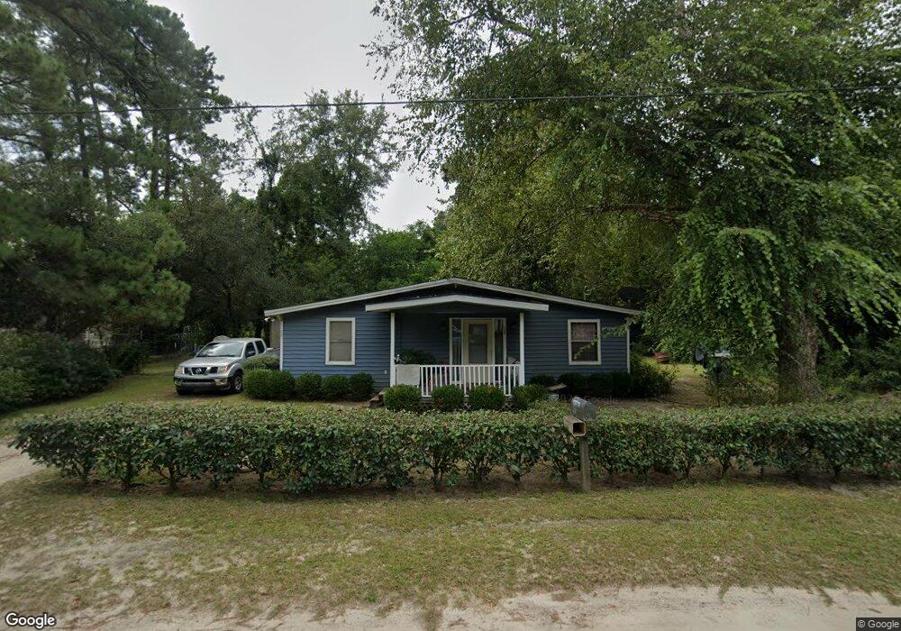
This home is located at 125 Boston St, Jesup, GA 31545 and is currently estimated at $104,120, approximately $103 per square foot. 125 Boston St is a home located in Wayne County with nearby schools including Martha Rawls Smith Elementary School, Martha Puckett Middle School, and Wayne County High School.
Ownership History
Date
Name
Owned For
Owner Type
Purchase Details
Closed on
Apr 24, 2023
Sold by
Phillips Property Holdings Llc
Bought by
Smith Jeremy
Current Estimated Value
Home Financials for this Owner
Home Financials are based on the most recent Mortgage that was taken out on this home.
Original Mortgage
$98,258
Outstanding Balance
$79,927
Interest Rate
6.42%
Mortgage Type
New Conventional
Estimated Equity
$24,193
Purchase Details
Closed on
Mar 14, 2022
Sold by
Snyder Donald L
Bought by
Phillips Property Holdings Llc
Purchase Details
Closed on
Dec 1, 1998
Sold by
Snyder Donald L and Snyder Barbara B
Bought by
Snyder Donald L
Purchase Details
Closed on
Aug 1, 1987
Bought by
Snyder Donald L and Snyder Barbara B
Purchase Details
Closed on
Jun 1, 1986
Purchase Details
Closed on
Aug 1, 1982
Create a Home Valuation Report for This Property
The Home Valuation Report is an in-depth analysis detailing your home's value as well as a comparison with similar homes in the area
Home Values in the Area
Average Home Value in this Area
Purchase History
| Date | Buyer | Sale Price | Title Company |
|---|---|---|---|
| Smith Jeremy | $97,000 | -- | |
| Phillips Property Holdings Llc | $45,000 | -- | |
| Snyder Donald L | -- | -- | |
| Snyder Donald L | $13,600 | -- | |
| -- | $9,000 | -- | |
| -- | -- | -- |
Source: Public Records
Mortgage History
| Date | Status | Borrower | Loan Amount |
|---|---|---|---|
| Open | Smith Jeremy | $98,258 |
Source: Public Records
Tax History Compared to Growth
Tax History
| Year | Tax Paid | Tax Assessment Tax Assessment Total Assessment is a certain percentage of the fair market value that is determined by local assessors to be the total taxable value of land and additions on the property. | Land | Improvement |
|---|---|---|---|---|
| 2024 | $376 | $16,615 | $1,205 | $15,410 |
| 2023 | $329 | $9,314 | $1,200 | $8,114 |
| 2022 | $136 | $9,314 | $1,200 | $8,114 |
| 2021 | $145 | $9,314 | $1,200 | $8,114 |
| 2020 | $150 | $9,314 | $1,200 | $8,114 |
| 2019 | $155 | $9,314 | $1,200 | $8,114 |
| 2018 | $656 | $18,252 | $6,204 | $12,048 |
| 2017 | $129 | $18,252 | $6,204 | $12,048 |
| 2016 | $546 | $18,252 | $6,204 | $12,048 |
| 2014 | $548 | $18,252 | $6,204 | $12,048 |
| 2013 | -- | $18,975 | $6,204 | $12,771 |
Source: Public Records
Map
Nearby Homes
- 0000 N Fourth St
- 0 N Fourth St Unit 159403
- 0 N Fourth St Unit 1652040
- 0 N 3rd Ln
- 0 N 4th St
- 0 N 4th St Unit 10414401
- 356 N 4th St
- 356 N Fourth St
- 344 N Fourth St
- 447 NE Broad St
- 498 NE Broad St
- 197 NW Broad St
- 0 U S 84
- 196 Pine Ridge Dr
- 436-441 Brunswick St
- 207 E Pine St
- 721 Cowboy Rd
- 217 E Pine St
- 217 Pine Ridge Rd
- 9474 Us Hwy 301