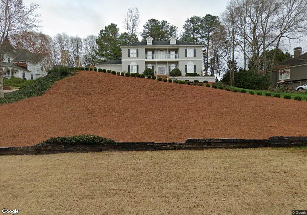
125 Boulder Dr Unit 108 Roswell, GA 30075
Estimated Value: $699,000 - $1,004,000
5
Beds
4
Baths
3,608
Sq Ft
$232/Sq Ft
Est. Value
About This Home
This home is located at 125 Boulder Dr Unit 108, Roswell, GA 30075 and is currently estimated at $837,726, approximately $232 per square foot. 125 Boulder Dr Unit 108 is a home located in Fulton County with nearby schools including Roswell North Elementary School, Crabapple Middle School, and High Meadows School.
Ownership History
Date
Name
Owned For
Owner Type
Purchase Details
Closed on
Jun 18, 1993
Sold by
Equitable Real Est Inv Mgmnt Inc
Bought by
Morrisroe Neil S
Current Estimated Value
Home Financials for this Owner
Home Financials are based on the most recent Mortgage that was taken out on this home.
Original Mortgage
$106,050
Interest Rate
7.44%
Create a Home Valuation Report for This Property
The Home Valuation Report is an in-depth analysis detailing your home's value as well as a comparison with similar homes in the area
Home Values in the Area
Average Home Value in this Area
Purchase History
| Date | Buyer | Sale Price | Title Company |
|---|---|---|---|
| Morrisroe Neil S | $151,500 | -- |
Source: Public Records
Mortgage History
| Date | Status | Borrower | Loan Amount |
|---|---|---|---|
| Closed | Morrisroe Neil S | $106,050 |
Source: Public Records
Tax History Compared to Growth
Tax History
| Year | Tax Paid | Tax Assessment Tax Assessment Total Assessment is a certain percentage of the fair market value that is determined by local assessors to be the total taxable value of land and additions on the property. | Land | Improvement |
|---|---|---|---|---|
| 2025 | $679 | $206,000 | $49,520 | $156,480 |
| 2023 | $679 | $143,640 | $32,960 | $110,680 |
| 2022 | $3,054 | $143,640 | $32,960 | $110,680 |
| 2021 | $3,623 | $139,480 | $32,000 | $107,480 |
| 2020 | $3,671 | $137,840 | $31,640 | $106,200 |
| 2019 | $600 | $135,400 | $31,080 | $104,320 |
| 2018 | $3,381 | $132,240 | $30,360 | $101,880 |
| 2017 | $3,076 | $117,360 | $33,200 | $84,160 |
| 2016 | $3,074 | $117,360 | $33,200 | $84,160 |
| 2015 | $3,717 | $117,360 | $33,200 | $84,160 |
| 2014 | $3,207 | $117,360 | $33,200 | $84,160 |
Source: Public Records
Map
Nearby Homes
- 110 Boulder Dr
- 2655 Boulder Creek Dr NE
- 2696 Long Lake Terrace NE
- 2482 N Forest Dr
- 5250 Pikes Peak Ct
- 2859 Tynewick Dr NE
- 4013 Lake Pointe Cir Unit 4013
- 3113 Lake Pointe Cir
- 2661 Sandpoint Way NE
- 1215 Ridgefield Dr
- 3210 Lake Pointe Cir
- 2779 Horseshoe Knoll Ln NE
- 4035 Connolly Ct
- 1009 Lake Pointe Cir
- 2255 Rushmore Dr
- The Carrington Plan at Hillandale in Historic Roswell
- The Rocklyn Plan at Hillandale in Historic Roswell
- 115 Boulder Dr
- 155 Boulder Dr
- 185 Boulder Dr
- 105 Boulder Dr
- 235 Boulder Dr
- 215 Boulder Dr
- 120 Boulder Dr
- 225 Boulder Dr Unit 2
- 0 Willeo Rd
- 0 Willeo Rd Unit 7215594
- 0 Willeo Rd Unit 10158546
- 0 Willeo Rd Unit 8302602
- 0 Willeo Rd Unit 8979482
- 0 Willeo Rd Unit 8897158
- 0 Willeo Rd Unit 3197310
- 0 Willeo Rd Unit 3197311
- 0 Willeo Rd Unit 3197309
- 0 Willeo Rd Unit 3214395
- 0 Willeo Rd Unit 7060273
- 0 Willeo Rd Unit 7146143