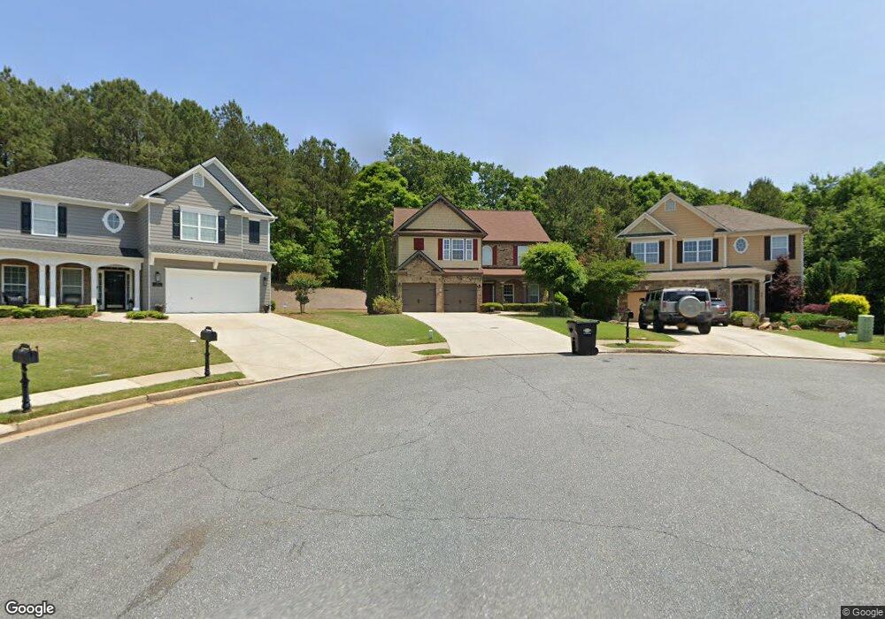
125 Boulder Path Dallas, GA 30157
Estimated Value: $348,000 - $442,000
3
Beds
2
Baths
2,238
Sq Ft
$181/Sq Ft
Est. Value
About This Home
This home is located at 125 Boulder Path, Dallas, GA 30157 and is currently estimated at $405,943, approximately $181 per square foot. 125 Boulder Path is a home located in Paulding County with nearby schools including Union Elementary School, Carl Scoggins Sr. Middle School, and South Paulding High School.
Ownership History
Date
Name
Owned For
Owner Type
Purchase Details
Closed on
Jul 6, 2016
Sold by
Rakestraw Properties 1 Lp
Bought by
Morgan Sharon Rakestraw
Current Estimated Value
Purchase Details
Closed on
Nov 30, 2006
Sold by
Grace Ventures Inc
Bought by
Wade David L and Wade Deborah R
Home Financials for this Owner
Home Financials are based on the most recent Mortgage that was taken out on this home.
Original Mortgage
$246,500
Interest Rate
6.33%
Mortgage Type
New Conventional
Purchase Details
Closed on
Apr 16, 2003
Sold by
Steve Simpson Investments Inc
Create a Home Valuation Report for This Property
The Home Valuation Report is an in-depth analysis detailing your home's value as well as a comparison with similar homes in the area
Home Values in the Area
Average Home Value in this Area
Purchase History
| Date | Buyer | Sale Price | Title Company |
|---|---|---|---|
| Morgan Sharon Rakestraw | -- | -- | |
| Wade David L | $308,300 | -- | |
| -- | $34,500 | -- |
Source: Public Records
Mortgage History
| Date | Status | Borrower | Loan Amount |
|---|---|---|---|
| Previous Owner | Wade David L | $246,500 |
Source: Public Records
Tax History
| Year | Tax Paid | Tax Assessment Tax Assessment Total Assessment is a certain percentage of the fair market value that is determined by local assessors to be the total taxable value of land and additions on the property. | Land | Improvement |
|---|---|---|---|---|
| 2025 | $4,091 | $171,608 | $14,000 | $157,608 |
| 2024 | $3,817 | $156,684 | $14,000 | $142,684 |
| 2023 | $4,109 | $160,136 | $14,000 | $146,136 |
| 2022 | $3,531 | $137,308 | $14,000 | $123,308 |
| 2021 | $3,883 | $135,480 | $31,480 | $104,000 |
| 2020 | $3,816 | $130,332 | $31,480 | $98,852 |
| 2019 | $3,702 | $124,740 | $31,480 | $93,260 |
| 2018 | $3,874 | $130,456 | $31,480 | $98,976 |
| 2017 | $3,258 | $108,500 | $18,000 | $90,500 |
| 2016 | $3,497 | $117,500 | $36,000 | $81,500 |
| 2015 | $2,969 | $98,312 | $36,000 | $62,312 |
| 2014 | $2,877 | $93,000 | $36,000 | $57,000 |
| 2013 | -- | $79,680 | $36,000 | $43,680 |
Source: Public Records
Map
Nearby Homes
- 276 Boulder View Pkwy
- 244 Stonehenge Dr
- 1025 Billy Bullock Rd
- 798 Boulder View Pkwy
- 15 Quarry Ln
- 2710 Mulberry Rock Rd
- 22 Ragan Dr
- 350 Taylor Path
- 6925 Buchanan Hwy
- 6964 Buchanan Hwy
- 292 Harmony Woods Dr
- 123 Mulberry Dr
- 281 Harmony Woods Dr
- 1312 Mulberry Rock Rd
- 8277 Buchanan Hwy
- 508 Millertown Rd
- 723 Mulberry Rock Rd
- 26 Harmony Woods Dr
- 3902 Mulberry Rock Rd
- 389 Orchard Dr
- 103 Boulder View Ct
- 105 Boulder Path
- 114 Boulder View Ct
- 83 Boulder View Ct
- 61 Pebblestone Run
- 108 Boulder View Ct
- 78 Boulder View Ct
- 95 Avery Way
- 65 Boulder View Ct
- 55 Boulder Path
- 30 Boulder View Ct
- 76 Boulder View Trace
- 37 Boulder View Ct
- 37 Boulder View Ct
- 113 Boulder View Trace
- 63 Quartz Trace
- 63 Quartz Trace Unit 54
- 40 Pebblestone Run
- 19 Pebblestone Run Unit 46
- 19 Pebblestone Run
Your Personal Tour Guide
Ask me questions while you tour the home.