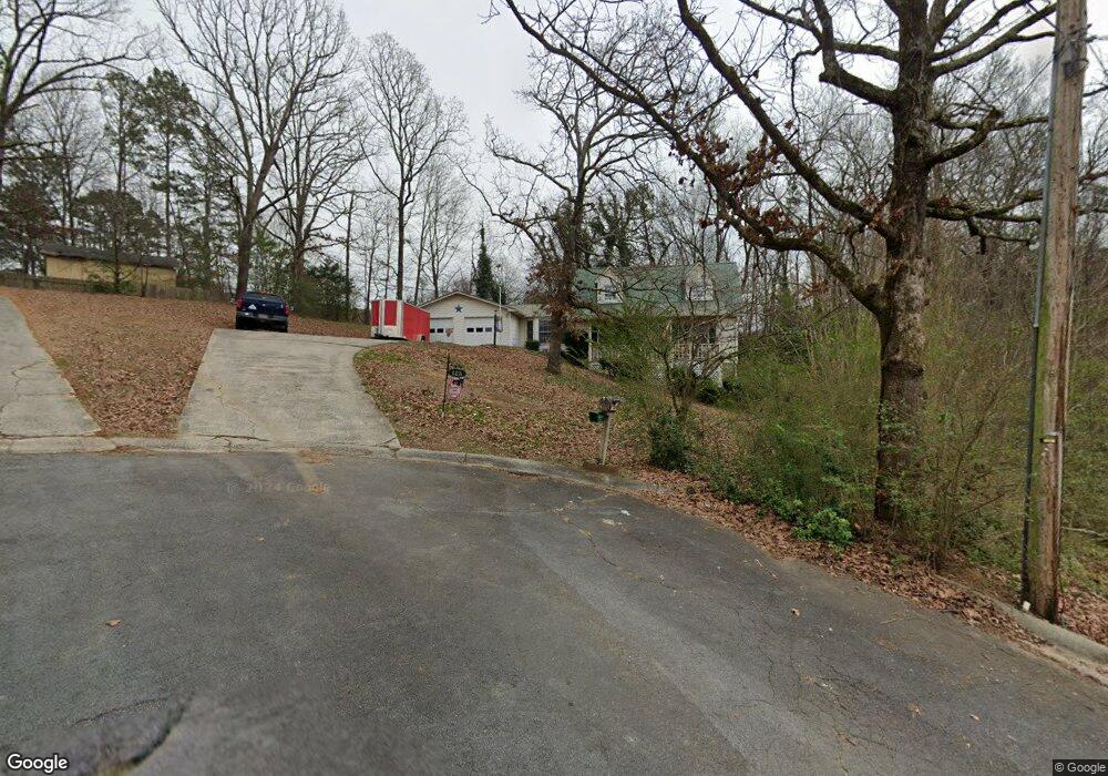
125 Brandon Ct Calhoun, GA 30701
Estimated Value: $296,018 - $351,000
4
Beds
2
Baths
2,181
Sq Ft
$152/Sq Ft
Est. Value
About This Home
This home is located at 125 Brandon Ct, Calhoun, GA 30701 and is currently estimated at $330,755, approximately $151 per square foot. 125 Brandon Ct is a home located in Gordon County with nearby schools including Calhoun Primary School, Calhoun Elementary School, and Calhoun Middle School.
Ownership History
Date
Name
Owned For
Owner Type
Purchase Details
Closed on
Apr 2, 2009
Sold by
Warren James E
Bought by
Warren James E and Warren Vickie Marie
Current Estimated Value
Home Financials for this Owner
Home Financials are based on the most recent Mortgage that was taken out on this home.
Original Mortgage
$93,000
Interest Rate
5.18%
Mortgage Type
New Conventional
Purchase Details
Closed on
Jan 24, 1997
Bought by
Warran James E
Create a Home Valuation Report for This Property
The Home Valuation Report is an in-depth analysis detailing your home's value as well as a comparison with similar homes in the area
Home Values in the Area
Average Home Value in this Area
Purchase History
| Date | Buyer | Sale Price | Title Company |
|---|---|---|---|
| Warren James E | -- | -- | |
| Warran James E | $115,600 | -- |
Source: Public Records
Mortgage History
| Date | Status | Borrower | Loan Amount |
|---|---|---|---|
| Closed | Warren James E | $93,000 |
Source: Public Records
Tax History Compared to Growth
Tax History
| Year | Tax Paid | Tax Assessment Tax Assessment Total Assessment is a certain percentage of the fair market value that is determined by local assessors to be the total taxable value of land and additions on the property. | Land | Improvement |
|---|---|---|---|---|
| 2024 | $1,020 | $86,240 | $3,800 | $82,440 |
| 2023 | $953 | $80,800 | $3,800 | $77,000 |
| 2022 | $682 | $75,680 | $3,800 | $71,880 |
| 2021 | $724 | $62,360 | $3,800 | $58,560 |
| 2020 | $738 | $63,160 | $3,800 | $59,360 |
| 2019 | $753 | $63,160 | $3,800 | $59,360 |
| 2018 | $548 | $58,880 | $3,800 | $55,080 |
| 2017 | $529 | $55,800 | $3,800 | $52,000 |
| 2016 | $530 | $55,800 | $3,800 | $52,000 |
| 2015 | $525 | $54,840 | $3,800 | $51,040 |
| 2014 | $497 | $52,944 | $3,808 | $49,136 |
Source: Public Records
Map
Nearby Homes
- 114 Lindsey Ct NE
- 127 Windsor Dr
- 129 Derby Ln
- 130 Cambridge Ct
- 140 Cambridge Ct
- 121 Hunt Dr
- 202 Montclair Dr
- 103 Mims Dr
- 107 Garden Hill Dr
- 105 Garden Hill Dr
- 326 Curtis Pkwy NE
- 112 Willowbrook Dr SE
- 511 Boulevard Heights
- 111 Meadow Ln
- 622 Pisgah Way
- 218 Newtown Rd NE
- 106 Mount Vernon Dr
- 209 Willowbrook Dr SE
- 421 Boulevard Heights
- 220 Lenox Rd SE
- 113 Brandon Ct
- 136 Devonwood Dr
- 126 Brandon Ct
- 138 Devonwood Dr
- 134 Devonwood Dr
- 114 Brandon Ct
- 107 Brandon Ct
- 0 Brandon Ct Unit 7401797
- 0 Brandon Ct
- 140 Devonwood Dr
- 115 Lindsey Ct NE
- 108 Brandon Ct
- 109 Lindsey Ct NE
- 132 Devonwood Dr
- 135 Devonwood Dr
- 119 Lindsey Ct NE
- 137 Devonwood Dr
- 133 Devonwood Dr
- 105 Lindsey Ct NE
- 141 Devonwood Dr